MyTopo
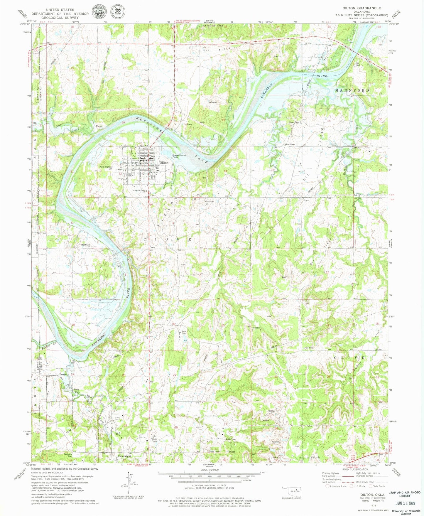
Classic USGS Oilton Oklahoma 7.5'x7.5' Topo Map
Couldn't load pickup availability
Historical USGS topographic quad map of Oilton in the state of Oklahoma. Map scale may vary for some years, but is generally around 1:24,000. Print size is approximately 24" x 27"
This quadrangle is in the following counties: Creek, Payne.
The map contains contour lines, roads, rivers, towns, and lakes. Printed on high-quality waterproof paper with UV fade-resistant inks, and shipped rolled.
Contains the following named places: Brooks Cemetery, Buckeye Creek, Cimarron Valley Church, City of Oilton, Deer Creek, Drumright North Cemetery, Dry Creek, Euchee Creek, Frey, Highland Cemetery, Hilltop Airport, J F Kennedy Elementary School, Markham, Monitor Hill, Oak Hill Cemetery, Oilton, Oilton High School, Oilton Police Department, Oilton Post Office, Oilton Volunteer Fire Department, Pemeta, Player, Tiger Creek, Township of Tiger, ZIP Code: 74052