MyTopo
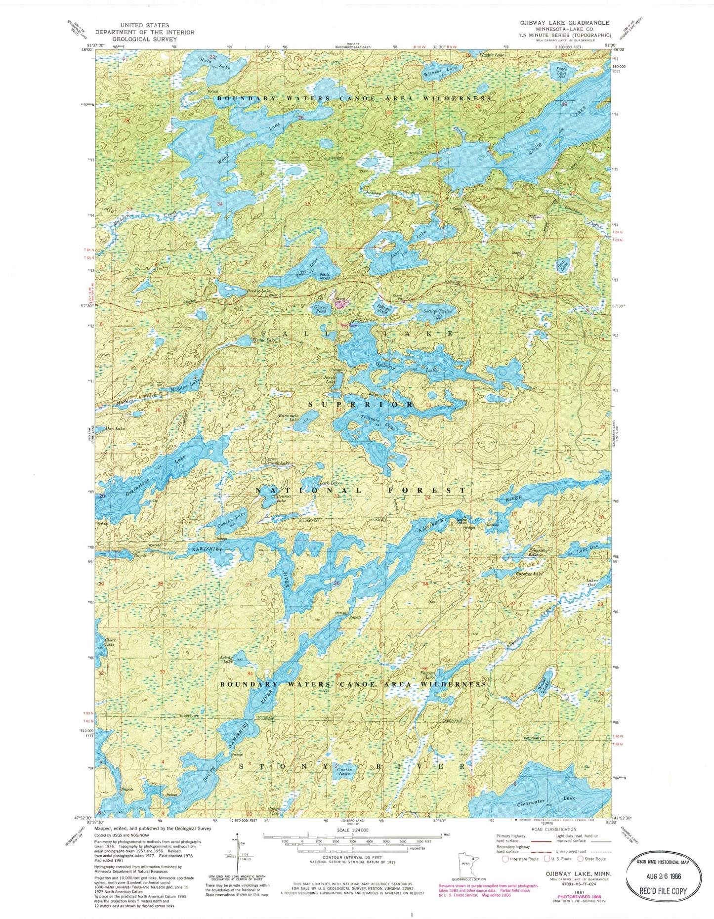
Classic USGS Ojibway Lake Minnesota 7.5'x7.5' Topo Map
Couldn't load pickup availability
Historical USGS topographic quad map of Ojibway Lake in the state of Minnesota. Typical map scale is 1:24,000, but may vary for certain years, if available. Print size: 24" x 27"
This quadrangle is in the following counties: Lake.
The map contains contour lines, roads, rivers, towns, and lakes. Printed on high-quality waterproof paper with UV fade-resistant inks, and shipped rolled.
Contains the following named places: Astray Lake, Section Twelve Lake, Carefree Lake, Clearwater Lake, Conchu Lake, Cortes Lake, Dan Lake, Gem Lake, Glacier Pond, Greenstone Lake, Hula Lake, Jasper Lake, Jewell Lake, Kamimela Lake, Madden Creek, Madden Lake, Moose Lake, Pagami Creek, Pagami Lake, Refuge Pond, Rookie Lake, Tofte Lake, Triangle Lake, Ojibway Lake, Uncle Judas Creek, Uranus Lake, Weasel Lake, Wedge Lake, Witness Lake, Wood Lake, Plukesley Lake, Upper Uranus Lake, Lark Lake, Finch Lake, Jasper Creek


