MyTopo
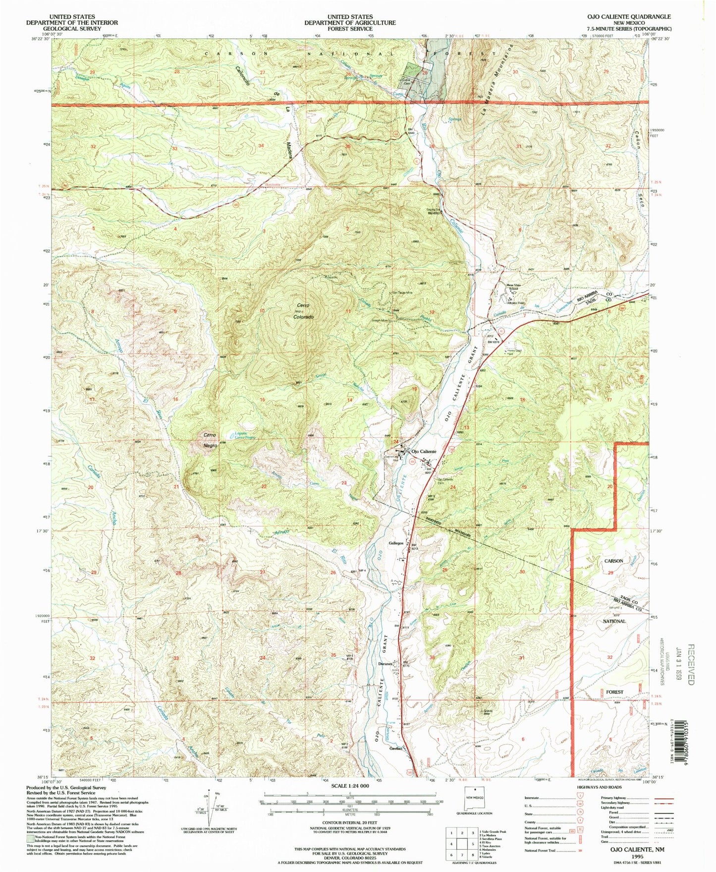
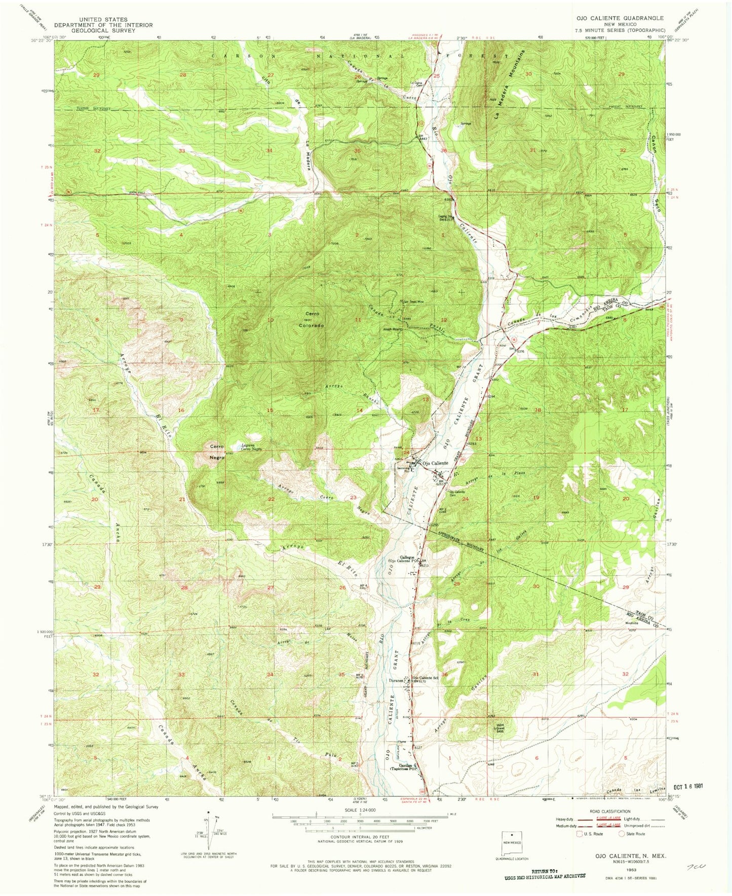
Classic USGS Ojo Caliente New Mexico 7.5'x7.5' Topo Map
Couldn't load pickup availability
Historical USGS topographic quad map of Ojo Caliente in the state of New Mexico. Typical map scale is 1:24,000, but may vary for certain years, if available. Print size: 24" x 27"
This quadrangle is in the following counties: Rio Arriba, Taos.
The map contains contour lines, roads, rivers, towns, and lakes. Printed on high-quality waterproof paper with UV fade-resistant inks, and shipped rolled.
Contains the following named places: Mesa Vista High School, La Cueva (historical), Arroyo Cruz, Arroyo de la Plaza, Arroyo de las Mulas, Arroyo de los Galves, Arroyo Cerro Negro, Arroyo el Rito, Arroyo Gavilan, Arroyo Rancho, Canada de la Cueva, Canada de Tio Pula, Canada Pueblo, Canon Seco, Canoncito de la Madera, Cerro Colorado, Desague Aguita, Duranes, Gallegos, Gavilan, Gavilan Ditch, Joseph Mine, La Cueva Cemetery, Laguna Cerro Negro, Ojo Caliente, Ojo Caliente Cemetery, Ojo Caliente Grant, Ojo Caliente School, San Texas Mine, Stevens Arroyo, Mesa Vista School, Mineral Springs, Iron Spring, Star Mine, Los Compadres, Southwestern Mining, Stanko and Springer Property, Mica Mill, Ojo Caliente, La Madera Mountains, RG-1623 Water Well, RG-30340 Water Well, RG-29941 Water Well, RG-10037 Water Well, RG-25727 Water Well, RG-31074 Water Well, HC-72529 Water Well, RG-27220 Water Well, RG-462 Water Well, RG-21634 Water Well, Canada de los Comanches, Cerro Negro, Ojo Caliente Historical Marker, Ojo Caliente Weather Station, Howiri-Ouinge Historic Site (historical), Mesa Vista Elementary School, Ojo Caliente Mineral Springs Historic Site, Chapel of Santa Cruz de Ojo Caliente Historic Site, Ojo Caliente Post Office, Tapicitoes Post Office, Ojo Caliente Volunteer Fire Department, Ojo Caliente Census Designated Place


