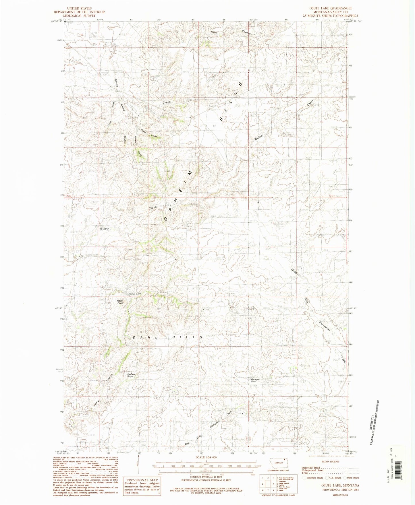
MyTopo
Classic USGS O'Juel Lake Montana 7.5'x7.5' Topo Map
Regular price
$16.95
Regular price
Sale price
$16.95
Unit price
per
Couldn't load pickup availability
Historical USGS topographic quad map of O'Juel Lake in the state of Montana. Map scale may vary for some years, but is generally around 1:24,000. Print size is approximately 24" x 27"
This quadrangle is in the following counties: Valley.
The map contains contour lines, roads, rivers, towns, and lakes. Printed on high-quality waterproof paper with UV fade-resistant inks, and shipped rolled.
Contains the following named places: 36N39E26AAB_01 Well, 36N39E26BDB_01 Well, Combs Coulee, Coyote Coulee, Dahl Hills, Dashers Spring, Deep Coulee, Floyd Ranch Airport, Furlong Coulee, Georges Pond, O'Juel Lake, Paudois Coulee, Pikes Peak, Tango Post Office, Tango School