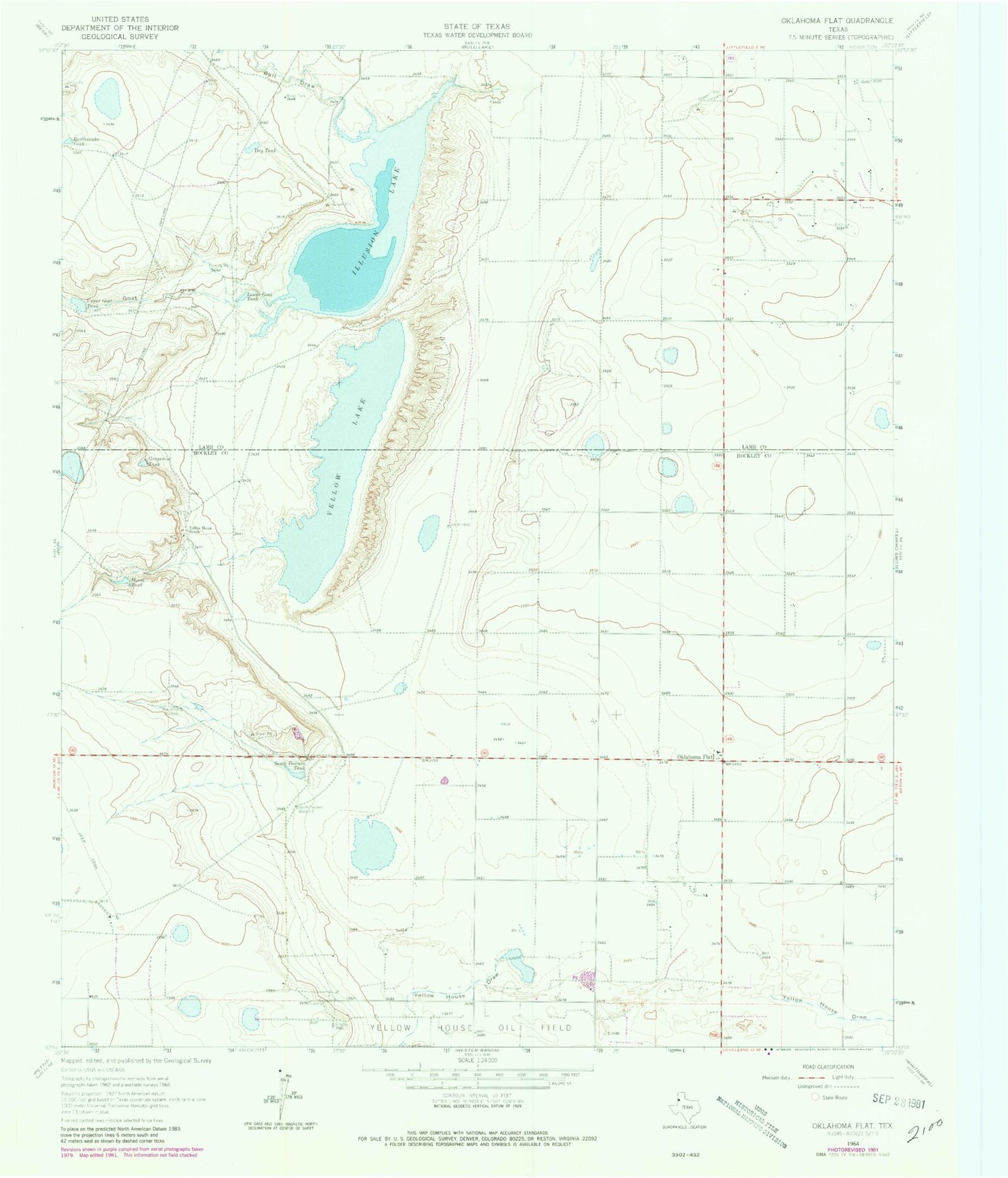
MyTopo
Classic USGS Oklahoma Flat Texas 7.5'x7.5' Topo Map
Regular price
$16.95
Regular price
Sale price
$16.95
Unit price
per
Couldn't load pickup availability
Historical USGS topographic quad map of Oklahoma Flat in the state of Texas. Map scale may vary for some years, but is generally around 1:24,000. Print size is approximately 24" x 27"
This quadrangle is in the following counties: Hockley, Lamb.
The map contains contour lines, roads, rivers, towns, and lakes. Printed on high-quality waterproof paper with UV fade-resistant inks, and shipped rolled.
Contains the following named places: Bull Draw, Dry Tank, East Windmill, Goat Draw, Grapevine Tank, House Tank, Illusion Lake, Lower Goat Tank, Oklahoma Flat, Rattlesnake Tank, Rye Straw Windmill, South Pasture Tank, South Pasture Windmill, Upper Goat Tank, Yellow House Ranch, Yellow Lake