MyTopo
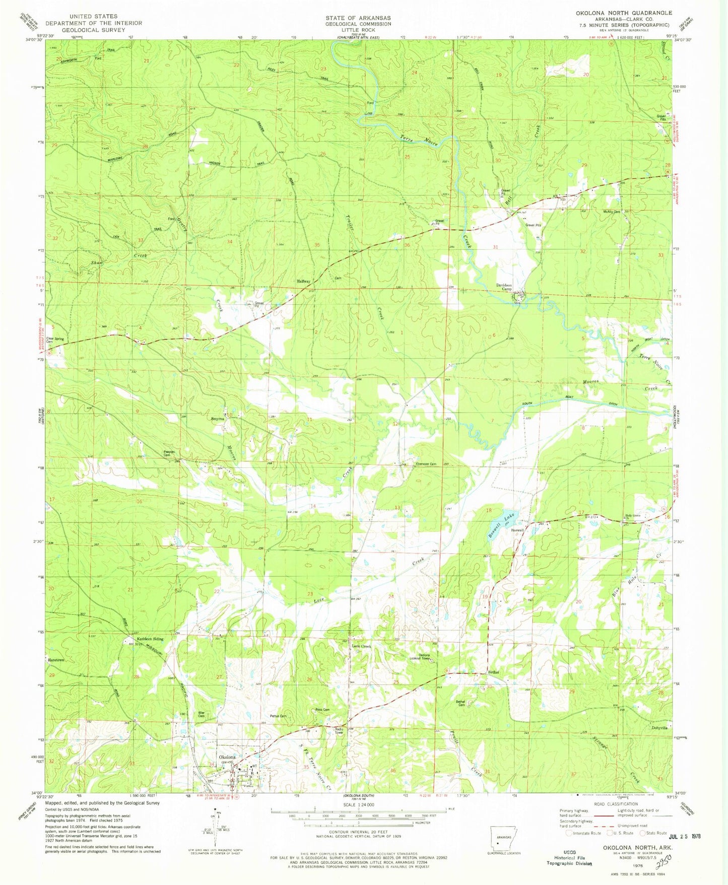
Classic USGS Okolona North Arkansas 7.5'x7.5' Topo Map
Couldn't load pickup availability
Historical USGS topographic quad map of Okolona North in the state of Arkansas. Map scale may vary for some years, but is generally around 1:24,000. Print size is approximately 24" x 27"
This quadrangle is in the following counties: Clark.
The map contains contour lines, roads, rivers, towns, and lakes. Printed on high-quality waterproof paper with UV fade-resistant inks, and shipped rolled.
Contains the following named places: Bell Creek, Bethel, Bethel Cemetery, Bethel Church, Boswell, Boswell Lake, Boswell Lake Dam, Clear Spring Cemetery, Davidson Camp, Dobyville, Ebenezer Cemetery, Gentry Creek, Halfway, Haretown, Holly Grove Church, Holly Grove School, Kathleen Siding, Love Creek, McAlly Cemetery, Okolona Baptist Church, Okolona Fire Station, Okolona Lookout Tower, Okolona Post Office, Peeples Cemetery, Pettus Cemetery, Ross Cemetery, Shaw Creek, Smyrna, Smyrna United Methodist Church, Town of Okolona, Township of Terre Noire, Trailer Creek, Wier Cemetery, Wimbley Cemetery, ZIP Code: 71962