MyTopo
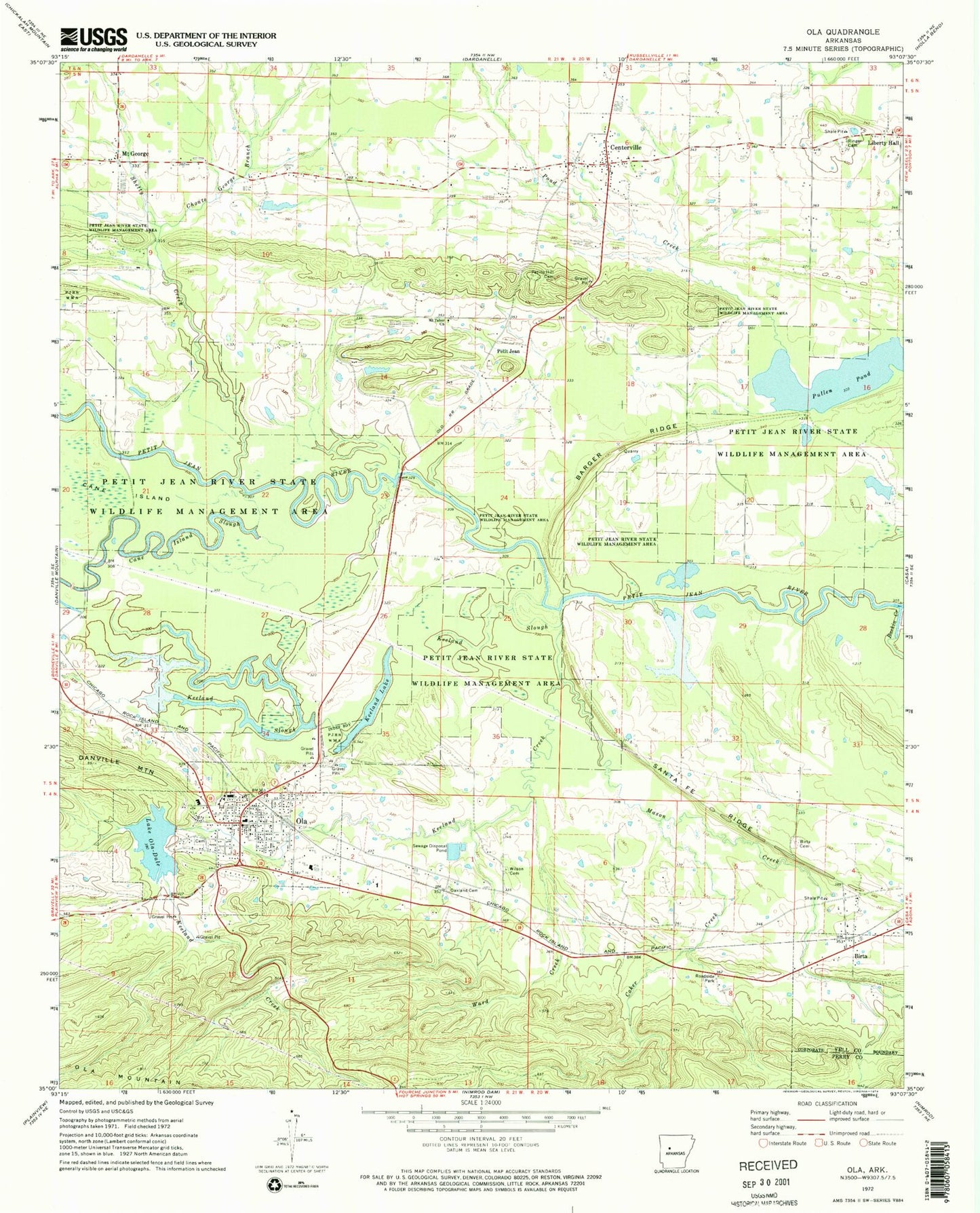
Classic USGS Ola Arkansas 7.5'x7.5' Topo Map
Couldn't load pickup availability
Historical USGS topographic quad map of Ola in the state of Arkansas. Map scale may vary for some years, but is generally around 1:24,000. Print size is approximately 24" x 27"
This quadrangle is in the following counties: Perry, Yell.
The map contains contour lines, roads, rivers, towns, and lakes. Printed on high-quality waterproof paper with UV fade-resistant inks, and shipped rolled.
Contains the following named places: Barger Ridge, Barger School, Baskin Creek, Bennett School, Berry School, Birta, Birta Cemetery, Centerville, Centerville Census Designated Place, Centerville Post Office, Choate George Branch, City of Ola, Coker Creek, Dale School, Galla Rock Fire Department Station 1, Galla Rock Fire Department Station 2, Galla Rock Fire Department Station 3, Keeland Creek, Keeland Lake, Keeland Slough, Lake Ola-dale, Liberty Hall, Mason Creek, Mockingbird Hill Lake, Mockingbird Hill Lake Dam, Mount Carmel School, Mount George, Mount Tabor Church, Mtount George Cemetery, Oakland Cemetery, Oakland School, Ola, Ola Fire Department, Ola Police Department, Ola Post Office, Ozark Ridge Landfill, Petillo Hill Cemetery, Petit Jean, Petit Jean River State Wildlife Management Area, Potts School, Pullen Pond, Ringer Cemetery, Rocky Crossing, Sandlin Cemetery, Santa Fe Ridge, Schoonover Lake, Schoonover Lake Dam, Shetty Creek, Township of Centerville, Township of Ward, Two Rivers Elementary School, Two Rivers Senior High School, Ward Creek, Wilson Cemetery, ZIP Code: 72853


