MyTopo
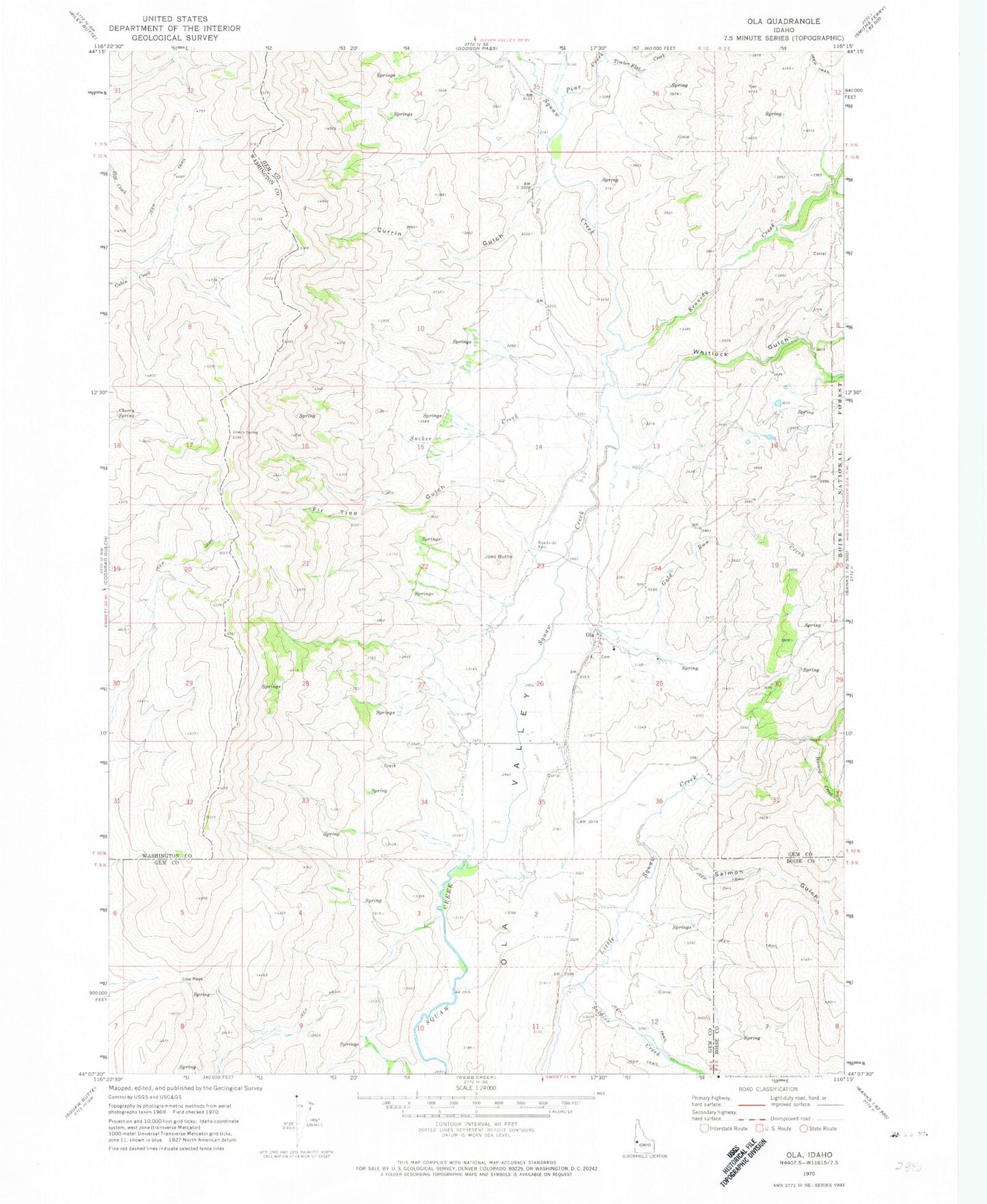
Classic USGS Ola Idaho 7.5'x7.5' Topo Map
Couldn't load pickup availability
Historical USGS topographic quad map of Ola in the state of Idaho. Map scale may vary for some years, but is generally around 1:24,000. Print size is approximately 24" x 27"
This quadrangle is in the following counties: Boise, Gem, Washington.
The map contains contour lines, roads, rivers, towns, and lakes. Printed on high-quality waterproof paper with UV fade-resistant inks, and shipped rolled.
Contains the following named places: Cherry Spring, Currin Gulch, Fir Tree Gulch, Gem County Fire District 2 Ola Station, Gold Run Creek, Havord Creek, Joes Butte, Kennedy Creek, Ola, Ola Elementary School, Ola Post Office, Pine Creek, Salmon Gulch, Soldier Creek, Sucker Creek, Timber Flat Creek, Whitlock Gulch, Whitlock Gulch Creek, ZIP Code: 83657