MyTopo
Classic USGS Olallie Butte Oregon 7.5'x7.5' Topo Map
Couldn't load pickup availability
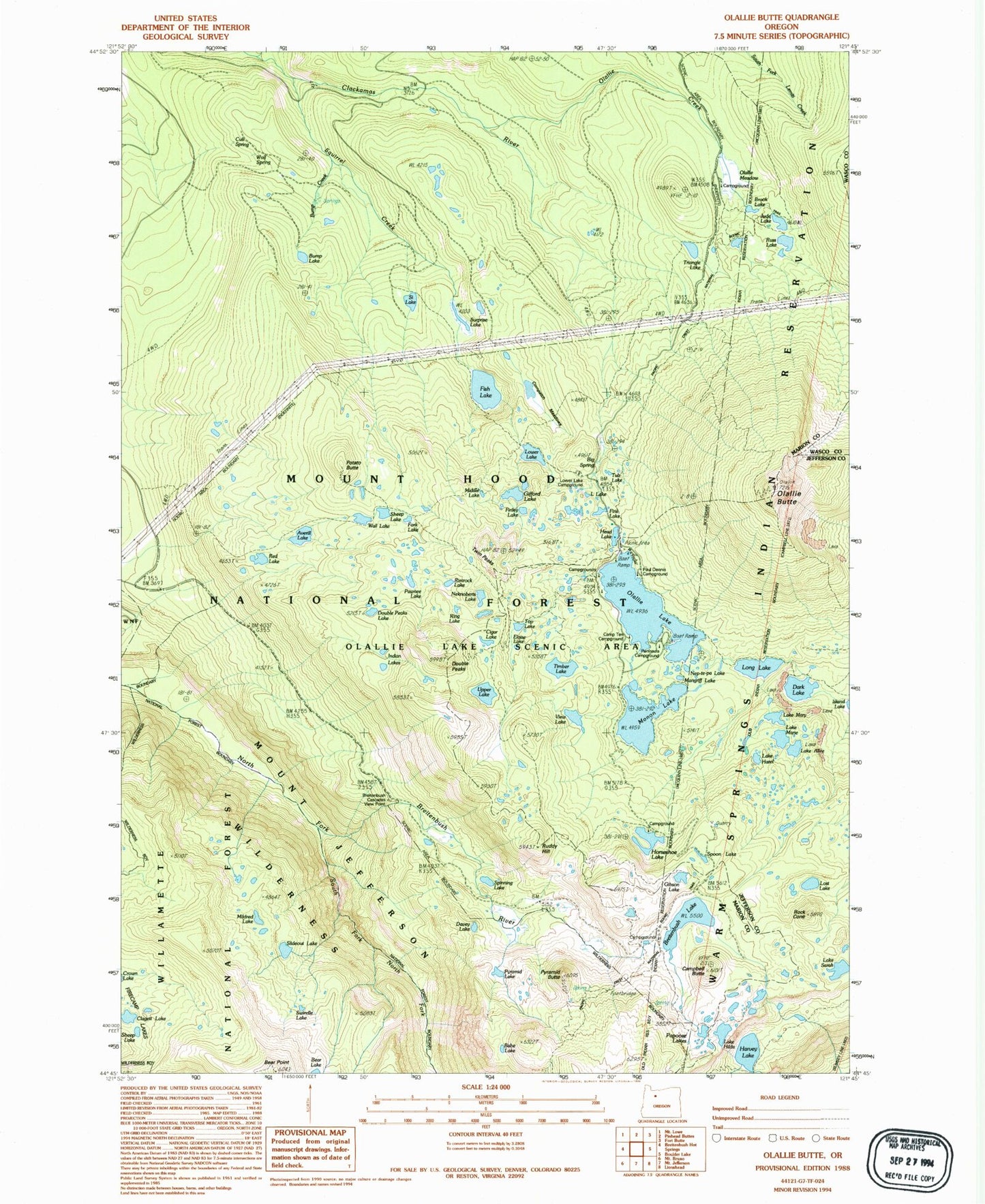
Historical USGS topographic quad map of Olallie Butte in the state of Oregon. Typical map scale is 1:24,000, but may vary for certain years, if available. Print size: 24" x 27"
This quadrangle is in the following counties: Jefferson, Marion, Wasco.
The map contains contour lines, roads, rivers, towns, and lakes. Printed on high-quality waterproof paper with UV fade-resistant inks, and shipped rolled.
Contains the following named places: Averill Lake, Pyramid Butte, Upper Lake, Lake Alice, Babe Lake, Bear Point, Breitenbush Lake, Brook Lake, Bump Creek, Bump Lake, Campbell Butte, Cigar Lake, Claggett Lake, Cornpatch Meadow, Cub Creek Trail, Cub Spring, Dark Lake, Davey Lake, Double Peaks, Double Peaks Lake, Eloise Lake, Finley Lake, First Lake, Fish Lake, Fish Lake Trail, Fork Lake, Gibson Lake, Gifford Lakes, Harvey Lake, Lake Hazel, Head Lake, Lake Hilda, Horseshoe Lake, Indian Lakes, Jude Lake, Lemiti Creek, Little Lake, Long Lake, Lost Lake, Lower Lake, Mangriff Lake, Lake Marie, Lake Mary, Middle Lake, Mildred Lake, Monon Lake, Nekbobets Lake, Nep-Te-Pa Lake, Olallie Butte, Olallie Creek, Olallie Lake, Olallie Meadow, Peninsula Recreation Site, Papoose Lakes, Pawnee Lake, Potato Butte, Pyramid Lake, Red Lake, Rimrock Lake, Ring Lake, Rock Cone, Ruddy Hill, Russ Lake, Lake Sarah, Si Lake, Slideout Lake, South Fork North Fork Breitenbush River, Spinning Lake, Spoon Lake, Squirrel Creek, Surprise Lake, Swindle Lake, Timber Lake, Top Lake, Triangle Lake, Tub Lake, Twin Peaks, View Lake, Wall Lake, Wolf Spring, Wolf Spring Trail, Olallie Butte Guard Station, Paul Dennis Recreation Site, Camp Ten Recreation Site, Triangle Lake Recreation Site, Lower Lake Recreation Site, Breitenbush Lake Recreation Site, Olallie Meadow Recreation Site, Olallie Lake Recreation Site, Sheep Lake, Sheep Lake, Monon Lake Recreation Site (historical), Horseshoe Lake Recreation Site, Breitenbush Cascades View Point, Olallie Lake Campground Boat Ramp, Peninsula Campground Boat Ramp


