MyTopo
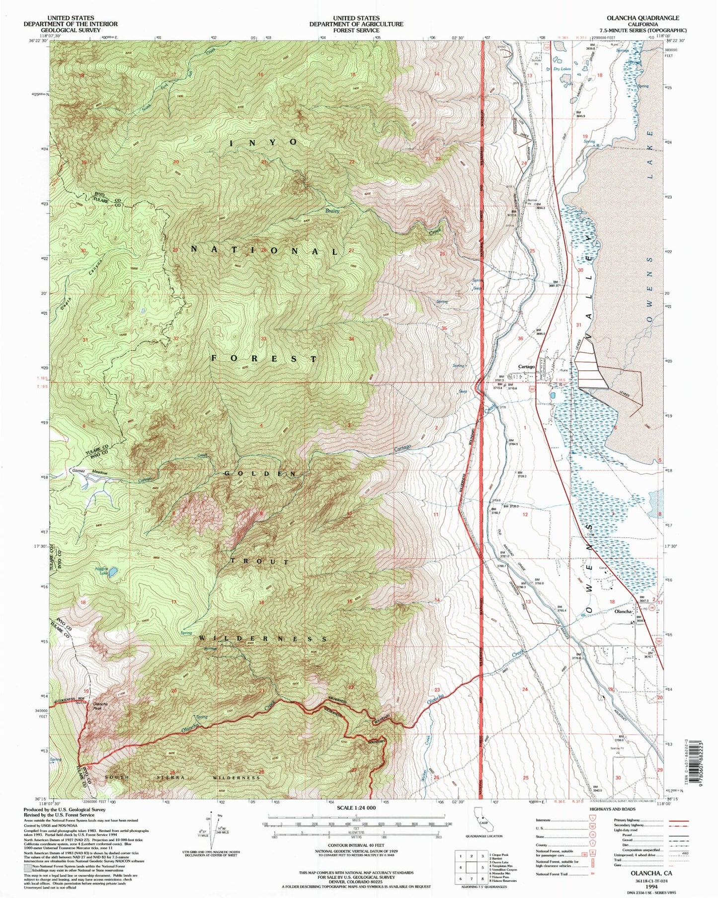
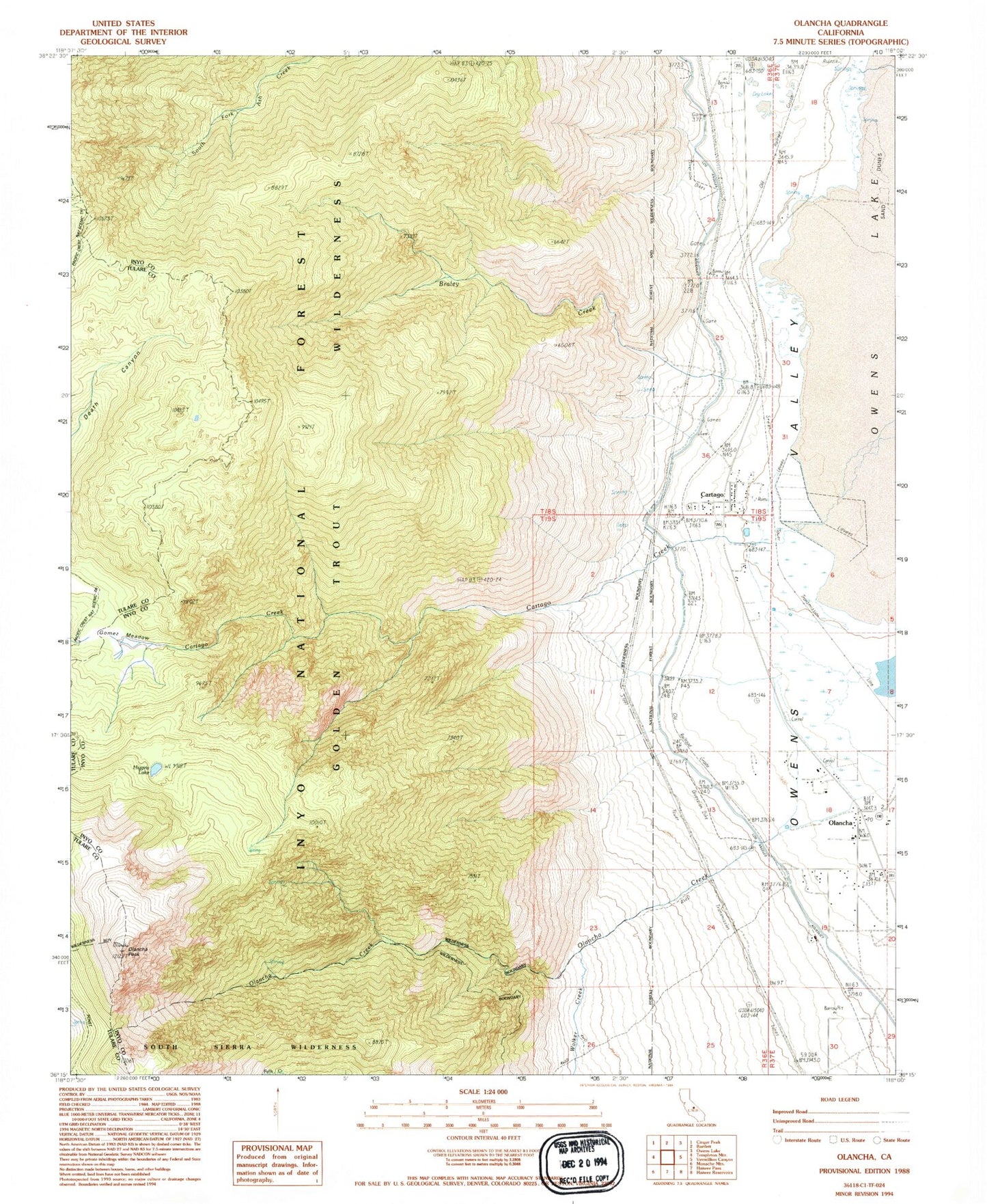
Classic USGS Olancha California 7.5'x7.5' Topo Map
Couldn't load pickup availability
Historical USGS topographic quad map of Olancha in the state of California. Map scale may vary for some years, but is generally around 1:24,000. Print size is approximately 24" x 27"
This quadrangle is in the following counties: Inyo, Tulare.
The map contains contour lines, roads, rivers, towns, and lakes. Printed on high-quality waterproof paper with UV fade-resistant inks, and shipped rolled.
Contains the following named places: Braley Creek, Cartago, Cartago Census Designated Place, Cartago Creek, Gomez Meadow, Higgins Lake, KWTY-FM (Cartago), Olancha, Olancha Cartago Fire Department, Olancha Census Designated Place, Olancha Creek, Olancha Elementary School, Olancha Peak, Olancha Post Office, Olancha Siding, Permanente, Walker Creek