MyTopo
Classic USGS Old Baldy Mountain Montana 7.5'x7.5' Topo Map
Couldn't load pickup availability
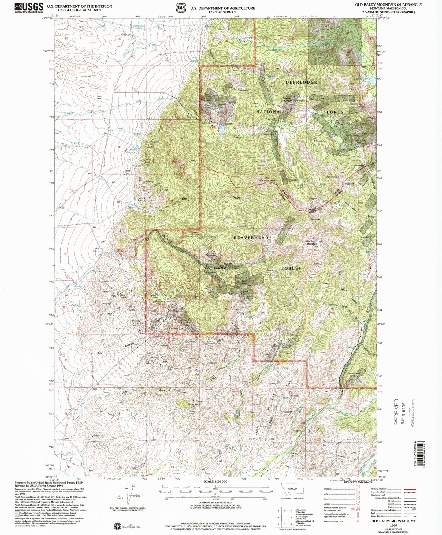
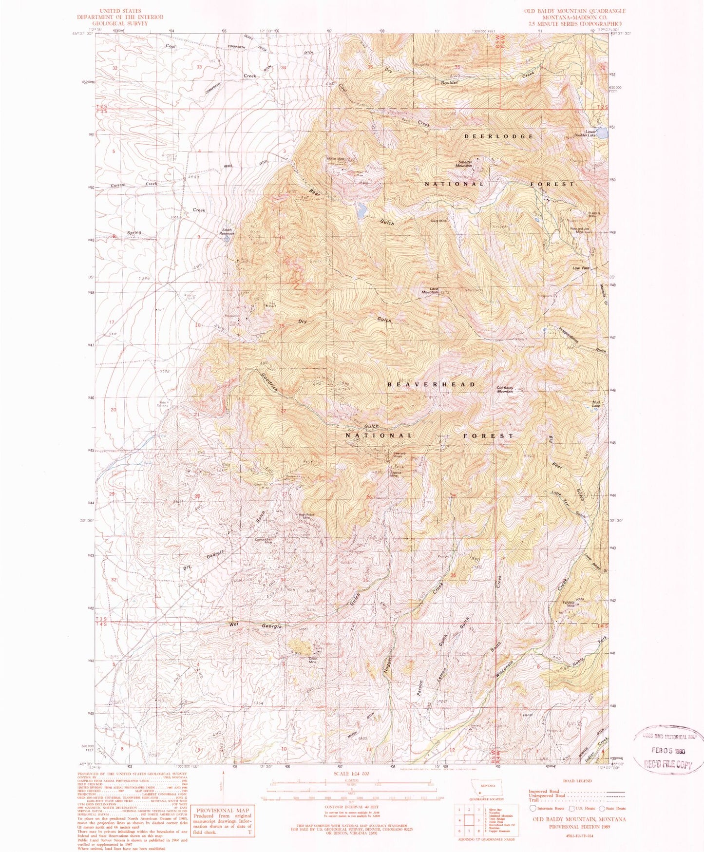
Historical USGS topographic quad map of Old Baldy Mountain in the state of Montana. Map scale may vary for some years, but is generally around 1:24,000. Print size is approximately 24" x 27"
This quadrangle is in the following counties: Madison.
The map contains contour lines, roads, rivers, towns, and lakes. Printed on high-quality waterproof paper with UV fade-resistant inks, and shipped rolled.
Contains the following named places: Argenta Mine, B and H Mine, Bear Gulch, Big Bear Gulch, Booth Creek, Booth Creek Mine, Brimstone Mine, Chapman Mine, Coal Creek Mine, Corn Cracker Mine, Corncraker Mine, Cornforth Ditch, Deutschland Mine, Dry Gulch, Dry Gulch North Mine, Dry Gulch South Mine, Eleanor East Mine, Eleanor West Mine, Eleanora Mines, Fairview Mine, Giant Mine, Grouse Mine, High Ridge Mine, Keynote Mine, Lava Mountain, Lemon Gulch, Lemon Gulch Mine, Little Bear Gulch, Low Pass, Lowel Bitney Gulch, Lower Boulder Lake, Marsh Ditch, Moffat Mine, Montana Gulch Mine, Moonlight Mine, Mud Lake, NE NE Section 33 Mine, NE NE Section 7 Mine, NE SW Section 34 Mine, NE SW Section 35 Mine, Noble Fork, North Fork Goodrich Mine, Nuggett Creek Mine, NW NE Section 18 Mine, NW NW Section 27 Mine, NW NW Section 28 Mine, NW NW Section 7 Mine, NW SE Section 26 Mine, NW SE Section 27 Mine, NW SE Section 7 Mine, NW SW Section 34 Mine, NW SW Section 7 Mine, Old Baldy Mountain, Parson Gulch, Parson Gulch Mine, Pete and Joe Mine, Reids Ditch, SE NW Section 24 Mine, SE NW Section 27 Mine, SE SW Section 26 Mine, Smelter Mountain, Smelter Mountain Mine, Smith Reservoir, Smith Reservoir Mine, Spring Creek, SW NE Section 2 Mine, SW NE Section 27 Mine, SW SW Section 10 Mine, SW SW Section 22 Mine, Tidal Wave Mine, Union Mine, Upper Bitney Gulch, West Section 28 Mine, Wet Georgia Gulch Mine, Whiskey Jack Mine


