MyTopo
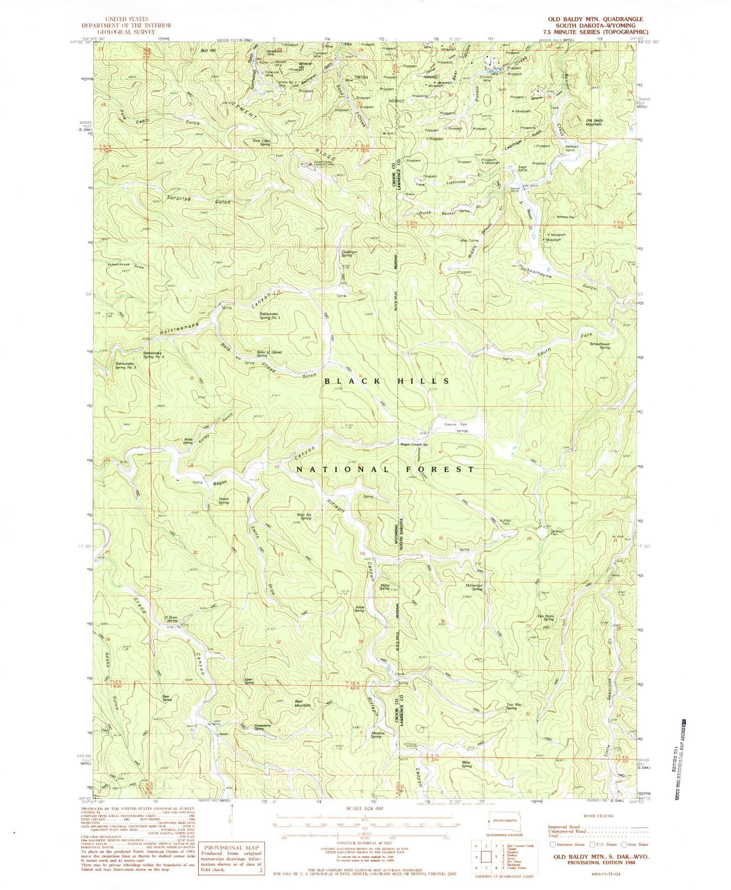
Classic USGS Old Baldy Mountain South Dakota 7.5'x7.5' Topo Map
Couldn't load pickup availability
Historical USGS topographic quad map of Old Baldy Mountain in the states of South Dakota, Nebraska, Wyoming. Typical map scale is 1:24,000, but may vary for certain years, if available. Print size: 24" x 27"
This quadrangle is in the following counties: Crook, Lawrence.
The map contains contour lines, roads, rivers, towns, and lakes. Printed on high-quality waterproof paper with UV fade-resistant inks, and shipped rolled.
Contains the following named places: Bonanza Gulch, Buffalo Park, Geranium Park, Ladyfinger Gulch, Lap Circle Ranch, Lightning Creek, Me George Spring, Middle Beaver Creek, Moonshine Gulch, North Beaver Creek, Old Baldy Mountain, Pettigrew Trail, Schoolhouse Gulch, Schoolhouse Spring, Seeley Ranch, Shirttail Gulch, South Beaver Creek, South Fork Schoolhouse Gulch, Stearns Park, Wagon Canyon Spring, Sager Ranch, Mathews Ranch, Filmore Mine, Two Way Spring, Van Horn Spring, Billie Spring, Giant-Volney Mine, Spearfish and Centaur Mine, Keenan Properties Mine, Rough and Ready Mine, Klondike School, Riflepit Canyon, Bald Mountain, Balm of Gilead Spring, Cement Ridge, Guidinger Spring, Kirley Gulch, Lone Grave Spring, Miller Spring, Mineral Hill, Pole Cabin Spring, Riflepit Canyon, Smith Draw, Welcome, Rattlesnake Spring Number 1, Rattlesnake Spring Number 2, Rattlesnake Spring Number 3, Sand Creek Mine


