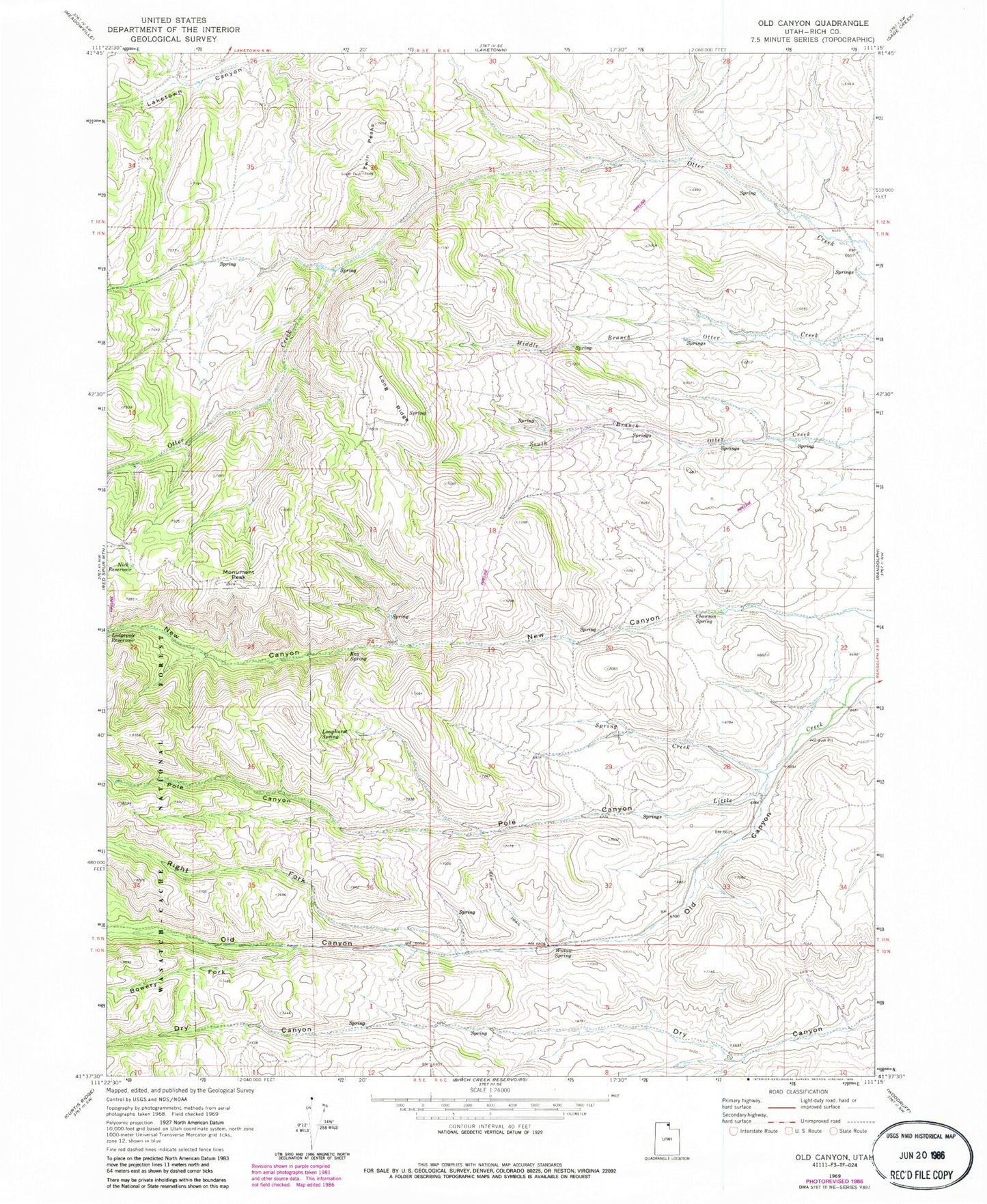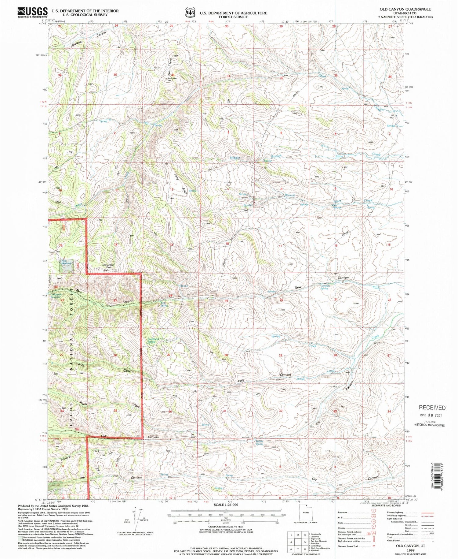
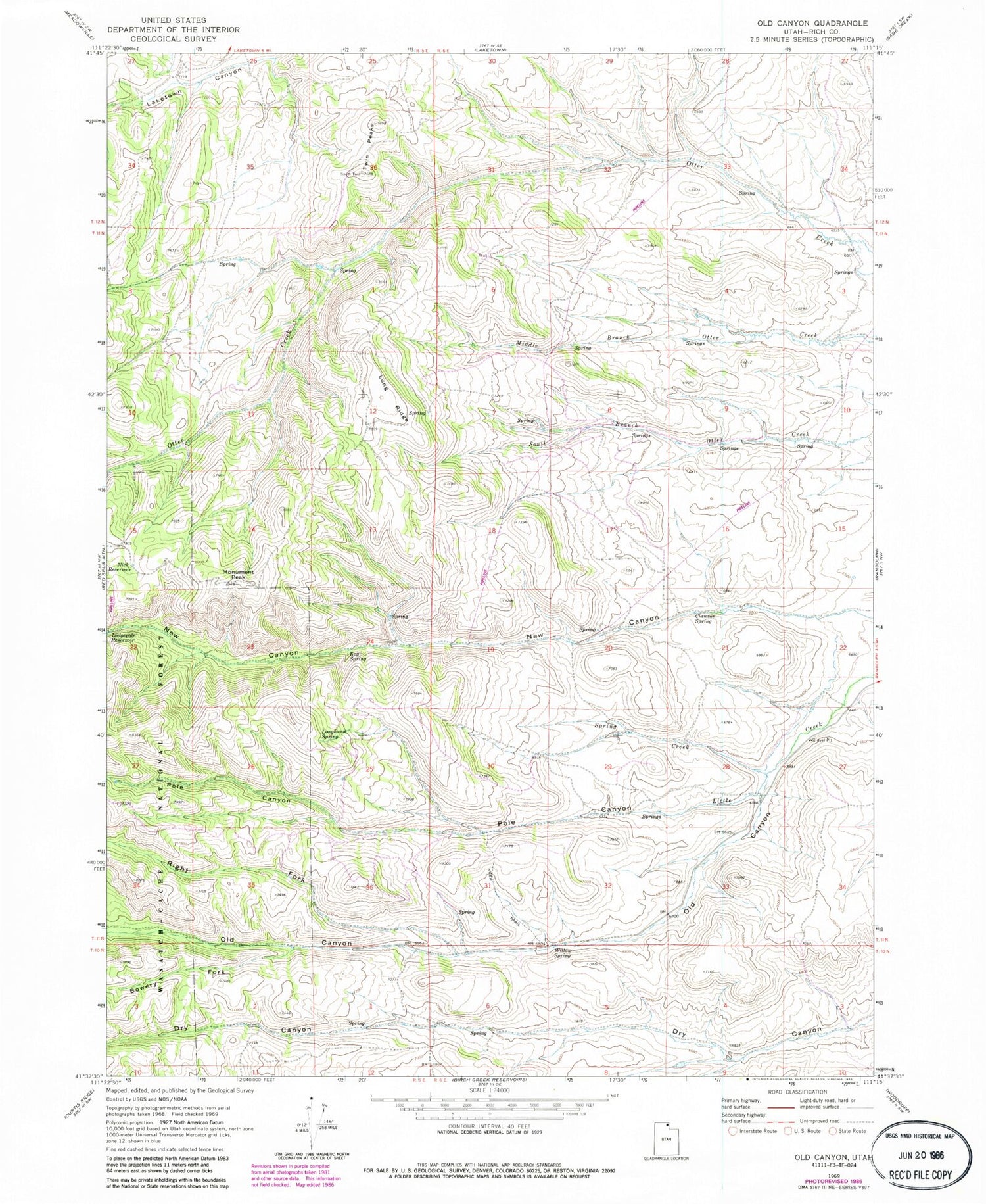
MyTopo
Classic USGS Old Canyon Utah 7.5'x7.5' Topo Map
Regular price
$16.95
Regular price
Sale price
$16.95
Unit price
per
Couldn't load pickup availability
Historical USGS topographic quad map of Old Canyon in the state of Utah. Map scale may vary for some years, but is generally around 1:24,000. Print size is approximately 24" x 27"
This quadrangle is in the following counties: Rich.
The map contains contour lines, roads, rivers, towns, and lakes. Printed on high-quality waterproof paper with UV fade-resistant inks, and shipped rolled.
Contains the following named places: Bowery Fork, Clawson Spring, Keg Spring, Long Ridge, Longhurst Spring, Monument Peak, New Canyon, Nick Reservoir, Old Canyon, Pole Canyon, Right Fork Old Canyon, Spring Creek, Twin Peaks, Willow Spring