MyTopo
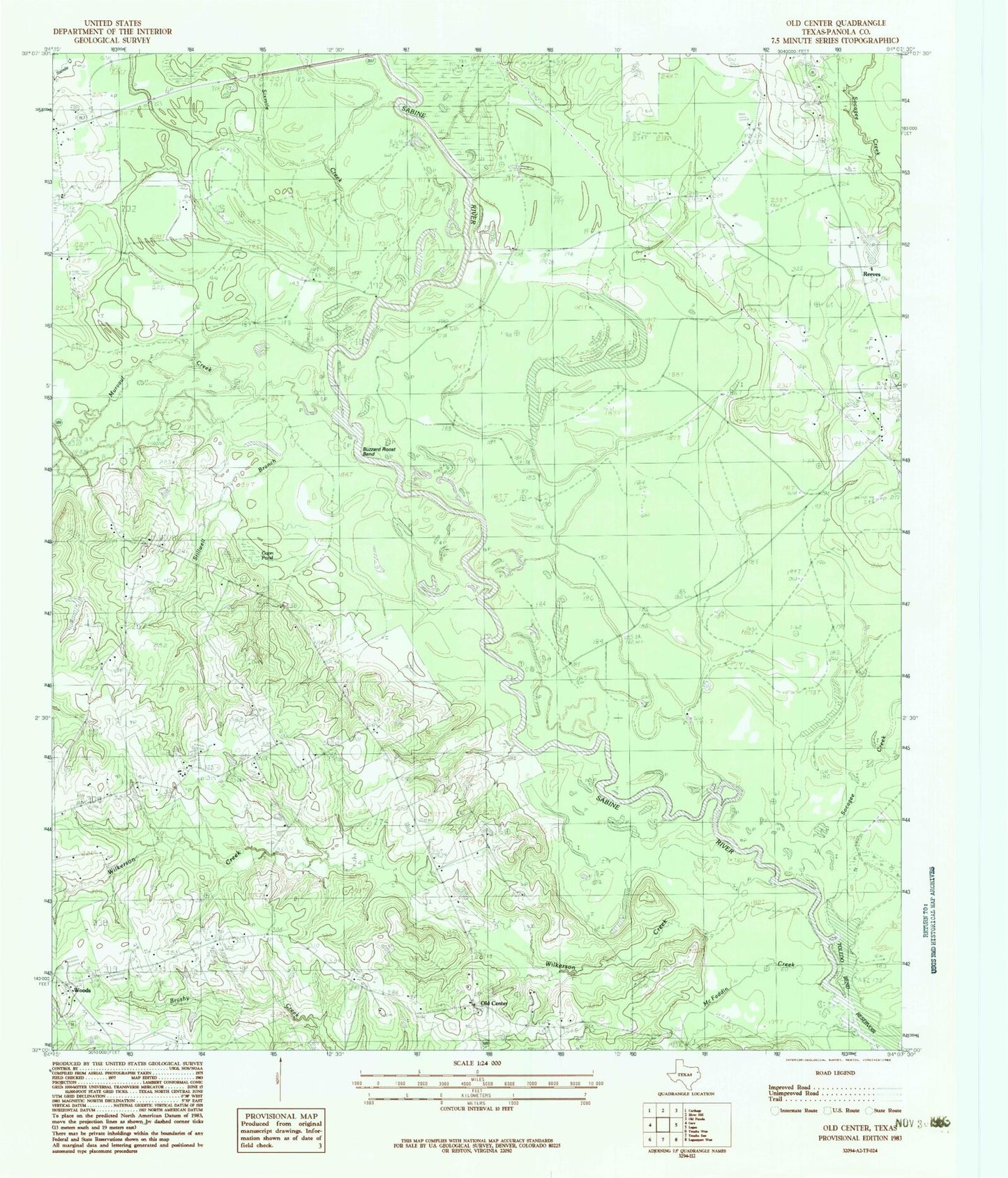
Classic USGS Old Center Texas 7.5'x7.5' Topo Map
Couldn't load pickup availability
Historical USGS topographic quad map of Old Center in the state of Texas. Map scale may vary for some years, but is generally around 1:24,000. Print size is approximately 24" x 27"
This quadrangle is in the following counties: Panola.
The map contains contour lines, roads, rivers, towns, and lakes. Printed on high-quality waterproof paper with UV fade-resistant inks, and shipped rolled.
Contains the following named places: Bounds Lake Dam, Buzzard Roost Bend, Coon Pond, McFaddin Creek, Methodist Church Concord, Murvaul Creek, New Prospect Church, Old Center, Old Center Church, Old Prospect Cemetery, Sixmile Creek, Socagee Creek, Social Point Church, Toledo Bend Reservoir, Wilkerson Creek, Woods, Woods Volunteer Fire Department