MyTopo
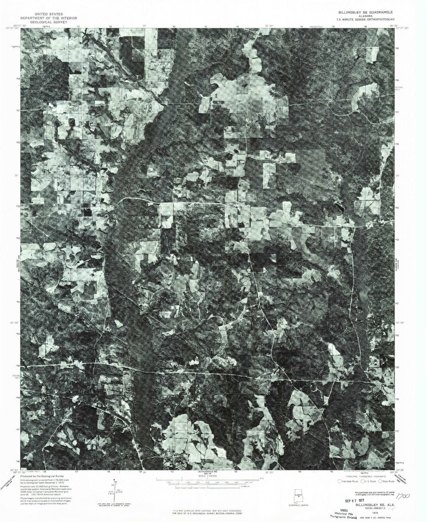
Classic USGS Old Kingston Alabama 7.5'x7.5' Topo Map
Couldn't load pickup availability
Historical USGS topographic quad map of Old Kingston in the state of Alabama. Typical map scale is 1:24,000, but may vary for certain years, if available. Print size: 24" x 27"
This quadrangle is in the following counties: Autauga.
The map contains contour lines, roads, rivers, towns, and lakes. Printed on high-quality waterproof paper with UV fade-resistant inks, and shipped rolled.
Contains the following named places: Booth, Bridge Creek Lake, Brown Town Church, Kingston Church, Little Bridge Run, Locust Bluff School, New Mount Zion Church, Old Kingston Church, Turnback Creek, Whitewater Church, R M Pendergrass Dam, O'Dell Lake Dam, Bridge Creek Fishing Club Dam, Camp Tukabatchee Lake Dam, Camp Tukabatchee Lake, Pleasant Hill Church, Beaver Creek, Browntown, Friendship Church, Lucas Cemetery, Old Kingston Cemetery, Old Kingston Church, Stewart Cemetery, Whirleys Pond, Whitewater Camp, Wilsons Cemetery, Mount Zion United Methodist Church, Old Kingston, Pleasant Hill Baptist Church, Poseys Crossroads, Tukabatchee Camp, Locust Bluff United Methodist Church, Mount Sinai Baptist Church, Oak Grove, Mount Sinai, Gibbons (historical), Old Kingston Volunteer Fire Department, Booth Volunteer Fire Department