MyTopo
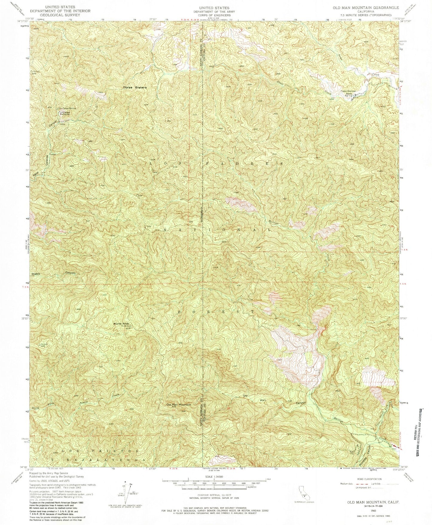
Classic USGS Old Man Mountain California 7.5'x7.5' Topo Map
Couldn't load pickup availability
Historical USGS topographic quad map of Old Man Mountain in the state of California. Map scale may vary for some years, but is generally around 1:24,000. Print size is approximately 24" x 27"
This quadrangle is in the following counties: Santa Barbara, Ventura.
The map contains contour lines, roads, rivers, towns, and lakes. Printed on high-quality waterproof paper with UV fade-resistant inks, and shipped rolled.
Contains the following named places: Abadi Creek, La Carpa Potreros, La Carpa Spring, Matilija Campsite, Matilija Rustic Campsite, Matilija Wilderness, Monte Arido, Murietta Canyon, Old Man Canyon, Old Man Mountain, Three Sisters, Upper Hartman Ranch, Upper North Fork Matilija Creek, West Fork Matilija Creek, Willow Creek