MyTopo
Classic USGS Old Mines Missouri 7.5'x7.5' Topo Map
Couldn't load pickup availability
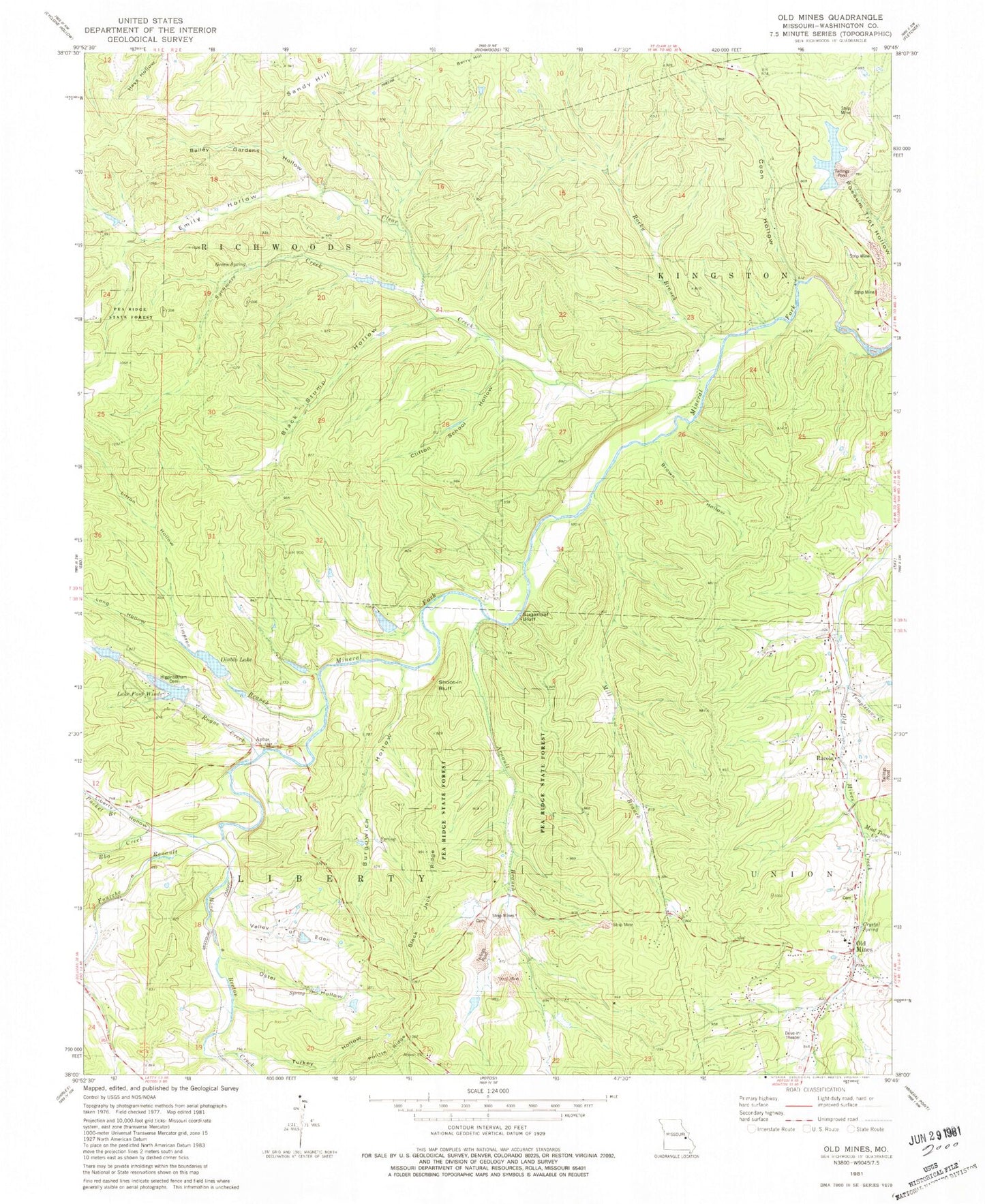
Historical USGS topographic quad map of Old Mines in the state of Missouri. Map scale may vary for some years, but is generally around 1:24,000. Print size is approximately 24" x 27"
This quadrangle is in the following counties: Washington.
The map contains contour lines, roads, rivers, towns, and lakes. Printed on high-quality waterproof paper with UV fade-resistant inks, and shipped rolled.
Contains the following named places: Aptus, Arnault Branch, Arnault Branch Mine Dam, Arnault Church, Arnault School, Bailey Gardens Hollow, Bee Lead Diggings, Black Jack Ridge, Black Stump Hollow, Bourgawich Branch, Bourgawich Lead Mine, Bourgowich School, Brown Hollow, Burgowich Hollow, Chambo Ridge, Clear Creek, Cliff Cave Mine, Clifton School, Clifton School Hollow, Coon Hollow, Crawfish Branch, Crawfish Lead Diggings, Cresswells Lead Furnace, Cruise, Crystal Spring, Diablo Lake, Dry Hollow Lead Diggings, DuCloes Lead Diggings, Ebo Creek, Elliot Lead Diggings, Emily Hollow, Flynns Lead Diggings, Four Winds Way Dam, Four Winds Way Reservoir, Fourche a Renault, Gobbetts Lead Diggings, Green Spring, Higginbotham Cemetery, Hunts Lead Diggings, Jones Lake Dam, Kingston School, Lake Four Winds, Liberty Hollow, Litton Hollow, Long Hollow, Lumkins Mill, Mill Branch, Mine a Breton Creek, Mud Town Creek, Number 875 Dam, Old Baptist Church Cemetery, Old Mines, Old Prairie Branch, Old Prairie Lead Diggings, Oster Hollow, Pfizer Incorporated Lake Dam, Pioneer Rod and Gun Club Dam, Politte Ridge, Potosi Fire Protection District House 4, Pucket Branch, Racola, Racola Tailings Dam, Robidoux, Robidoux Branch, Rocky Branch, Rogue Creek, Saint Joachim Catholic Church, Saint Joachim Cemetery Number 1, Saint Joachim Cemetery Number 2, Saint Joachim Cemetery Number 3, Saint Joachim School, Sampson Lake Dam, Sandy Hill, Scott Lead Diggings, Shoot-in Bluff, Shores Lead Mine, Simpson Branch, Somers Lead Diggings, Star Mine Dam, Sugarloaf Bluff, Sycamore Creek, Templetown Creek, Turkey Hollow, Twin Cliffs, Valley of Eden, Wet Lead Diggings


