MyTopo
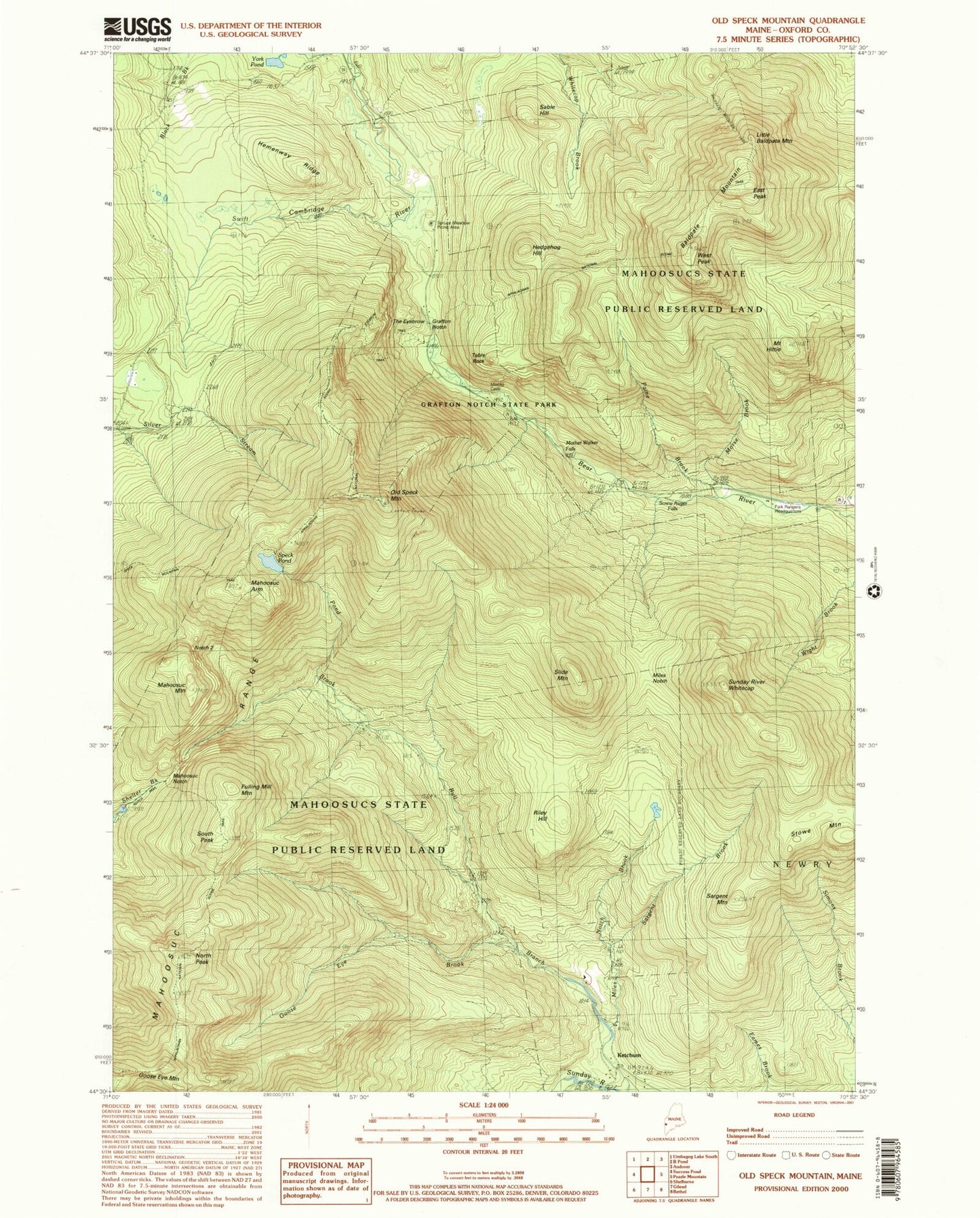
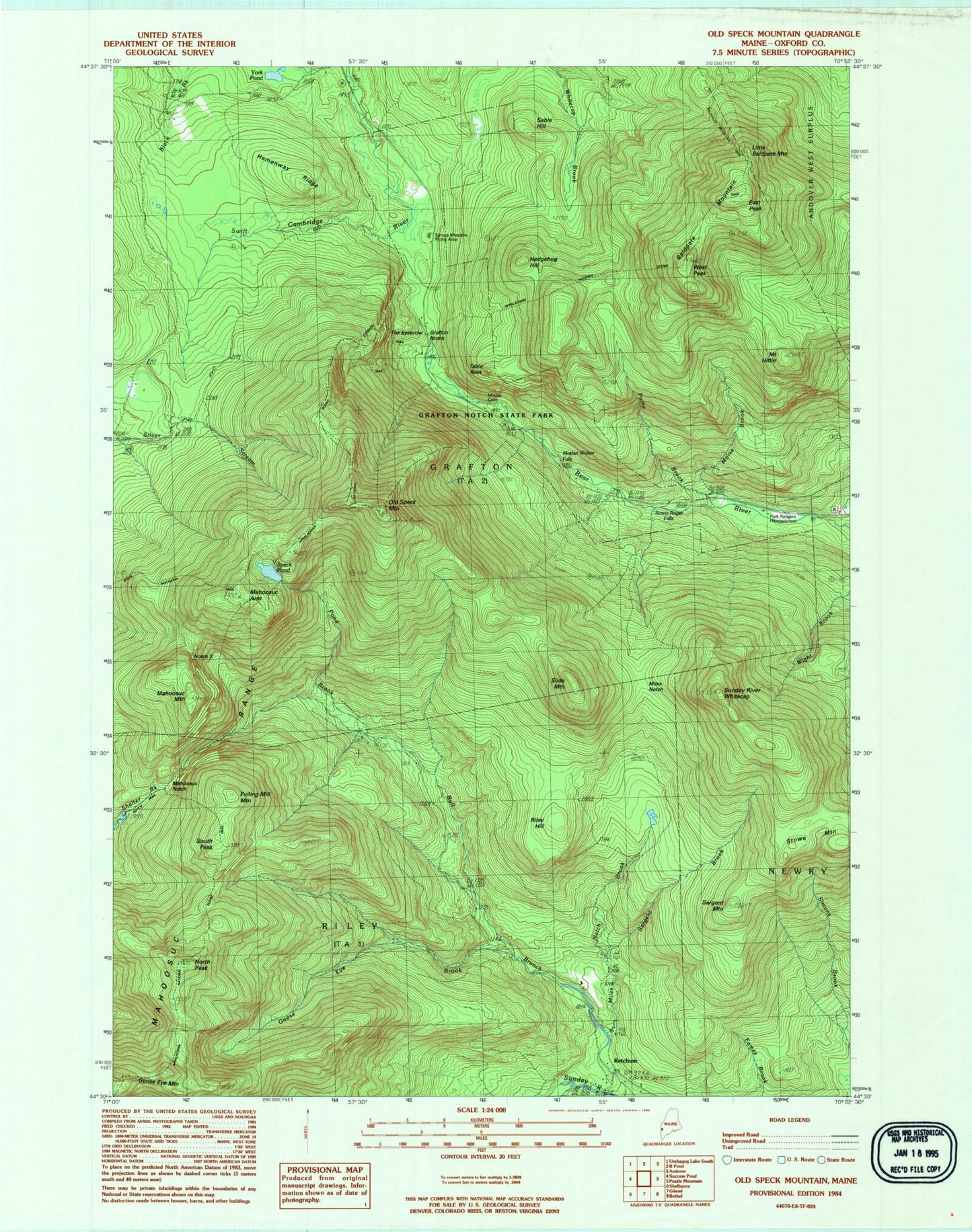
Classic USGS Old Speck Mountain Maine 7.5'x7.5' Topo Map
Couldn't load pickup availability
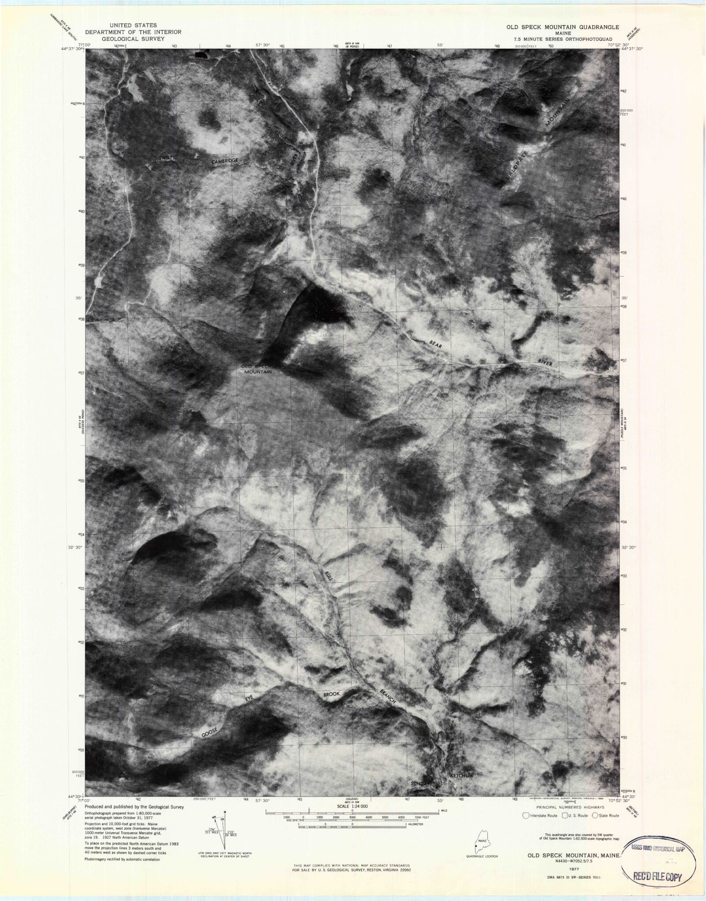
Historical USGS topographic quad map of Old Speck Mountain in the state of Maine. Typical map scale is 1:24,000, but may vary for certain years, if available. Print size: 24" x 27"
This quadrangle is in the following counties: Oxford.
The map contains contour lines, roads, rivers, towns, and lakes. Printed on high-quality waterproof paper with UV fade-resistant inks, and shipped rolled.
Contains the following named places: Baldpate Mountain, Camp 3, East Peak, Fulling Mill Mountain, Goose Eye Brook, Goose Eye Mountain, Grafton Notch, Hedgehog Hill, Hemenway Ridge, Little Baldpate Mountain, Mahoosuc Arm, Mahoosuc Mountain, Mahoosuc Notch, Miles Notch, Miles Notch Brook, Morse Brook, Mother Walker Falls, Mount Hittie, North Peak, Notch 2, Old Speck Mountain, Paine Brook, Pond Brook, Riley Hill, Sable Hill, Sargent Brook, Sargent Mountain, Screw Auger Falls, Slide Mountain, South Peak, Speck Pond, Stowe Mountain, Sunday River Whitecap, Table Rock, West Peak, York Pond, Ketchum, Mahoosuc Range, Ketchum Post Office (historical), Moose Cave Gorge, Mother Walker Falls Gorge, Old Speck Mountain Trail, Screw Auger Falls Gorge, Spruce Meadow Picnic Area, Table Rock Trail, Grafton Township, Baldpate Mountain, Camp 3, East Peak, Fulling Mill Mountain, Goose Eye Brook, Goose Eye Mountain, Grafton Notch, Hedgehog Hill, Hemenway Ridge, Little Baldpate Mountain, Mahoosuc Arm, Mahoosuc Mountain, Mahoosuc Notch, Miles Notch, Miles Notch Brook, Morse Brook, Mother Walker Falls, Mount Hittie, North Peak, Notch 2, Old Speck Mountain, Paine Brook, Pond Brook, Riley Hill, Sable Hill, Sargent Brook, Sargent Mountain, Screw Auger Falls, Slide Mountain, South Peak, Speck Pond, Stowe Mountain, Sunday River Whitecap, Table Rock, West Peak, York Pond, Ketchum, Mahoosuc Range, Ketchum Post Office (historical), Moose Cave Gorge, Mother Walker Falls Gorge, Old Speck Mountain Trail, Screw Auger Falls Gorge, Spruce Meadow Picnic Area, Table Rock Trail, Grafton Township