MyTopo
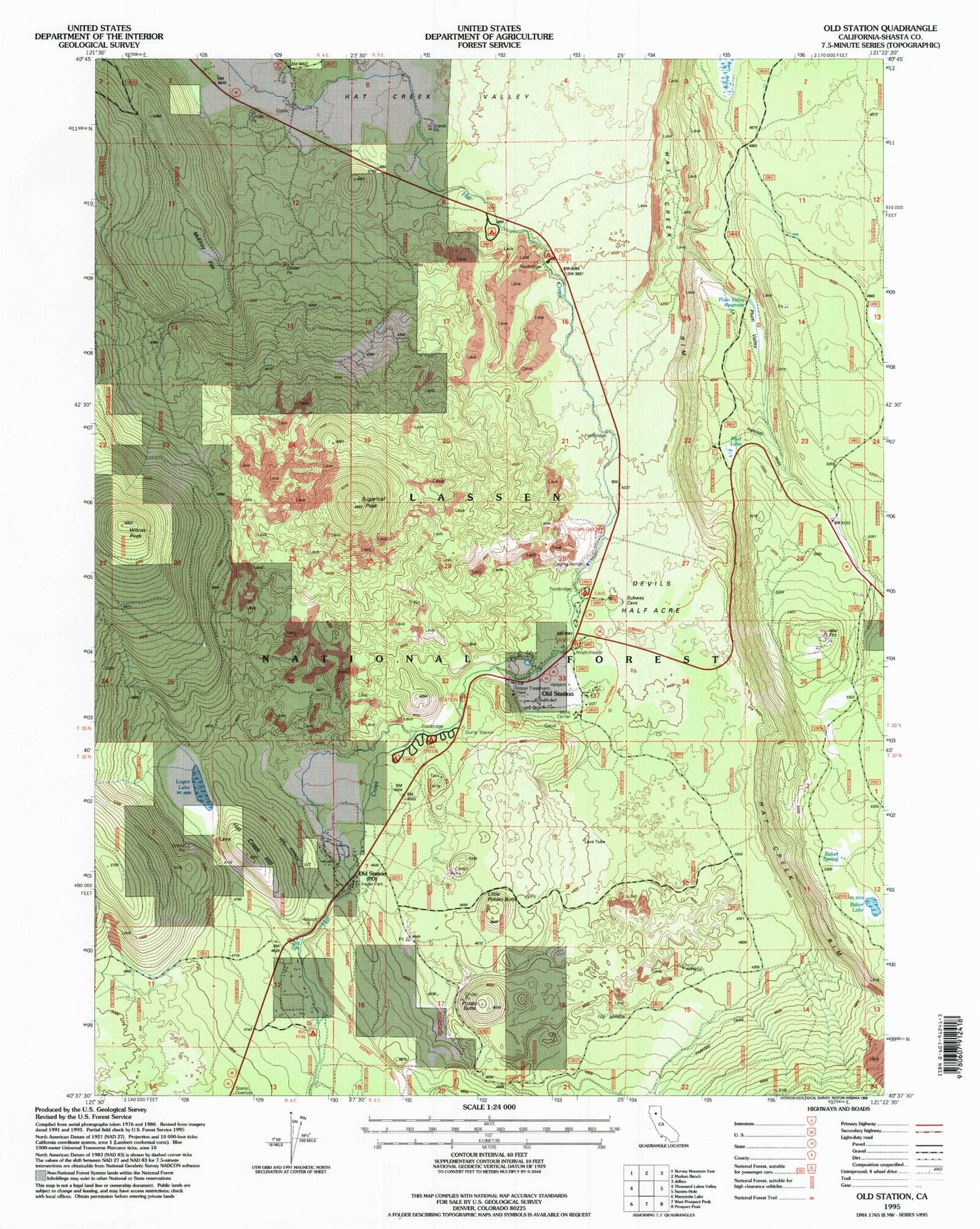
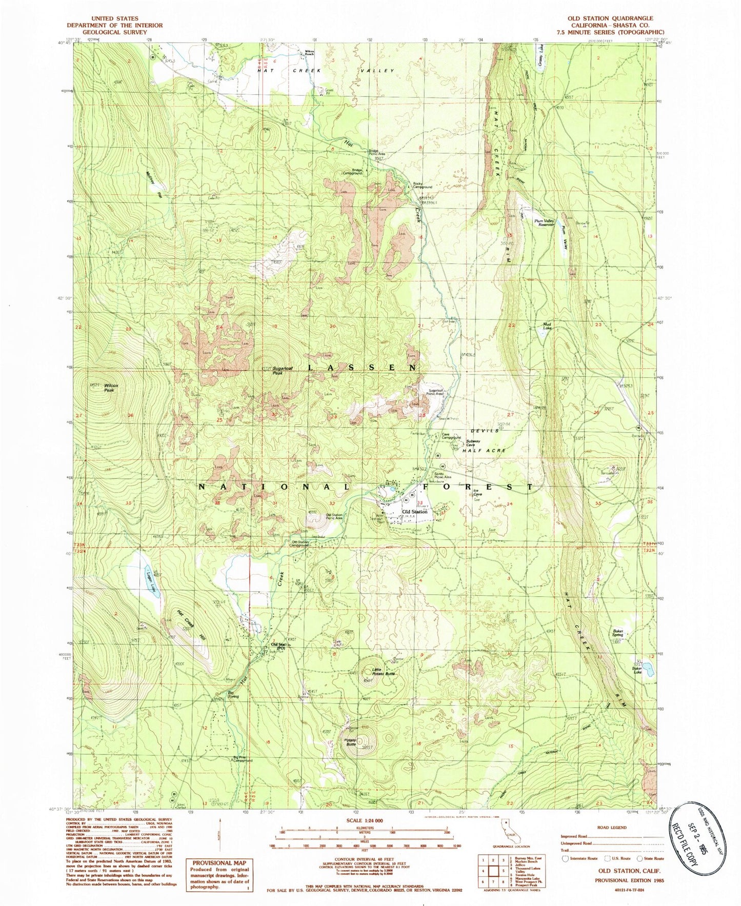
Classic USGS Old Station California 7.5'x7.5' Topo Map
Couldn't load pickup availability
Historical USGS topographic quad map of Old Station in the state of California. Typical map scale is 1:24,000, but may vary for certain years, if available. Print size: 24" x 27"
This quadrangle is in the following counties: Shasta.
The map contains contour lines, roads, rivers, towns, and lakes. Printed on high-quality waterproof paper with UV fade-resistant inks, and shipped rolled.
Contains the following named places: Cave Campground, Baker Lake, Big Spring, Big Springs Campground, Bridge Campground, Devils Half Acre, Grassy Lake, Hat Creek Campground, Logan Lake, McElroy Flat, Mud Lake, Old Station, Plum Valley, Potato Butte, Rocky Campground, Sandy Campground, Smoky Cabin, Sugarloaf Peak, Wilcox Peak, Wilcox Ranch, Hat Creek Hill, Little Potato Butte, Baker Spring, Big Pine Campground, Bridge Picnic Area, Old Station Campground, Old Station Picnic Area, Plum Valley Reservoir, Sandy Picnic Area, Sugarloaf Picnic Area, Old Station Post Office, Old Station Volunteer Fire Company Station 12, Old Station Census Designated Place


