MyTopo
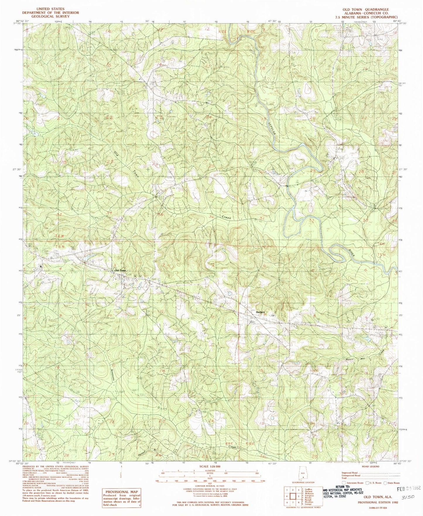
Classic USGS Old Town Alabama 7.5'x7.5' Topo Map
Couldn't load pickup availability
Historical USGS topographic quad map of Old Town in the state of Alabama. Map scale may vary for some years, but is generally around 1:24,000. Print size is approximately 24" x 27"
This quadrangle is in the following counties: Conecuh.
The map contains contour lines, roads, rivers, towns, and lakes. Printed on high-quality waterproof paper with UV fade-resistant inks, and shipped rolled.
Contains the following named places: Cedar Grove African Methodist Episcopal Church, Evergreen Division, Evergreen-Shreve Division, Flat Rock, Flat Rock Church, Flat Rock Ford, Flat Rock School, Flat Rock Volunteer Fire Department, Grace Church, Hall Cemetery, Haw Ridge, Herbert Cemetery, Herbert Volunteer Fire Department, Jones Chapel Cemetery, Jones Chapel Church, Mount Union, Mount Union Cemetery, Mount Union Church, New Jerusalem Church, Old Town, Old Town Church, Old Town Creek, Pilgrims Rest Church, Piney Woods Creek, River Springs Campground, Saint John Church, Sepulga Baptist Church, Tantrott Branch, Travis Bridge, Welcome Church