MyTopo
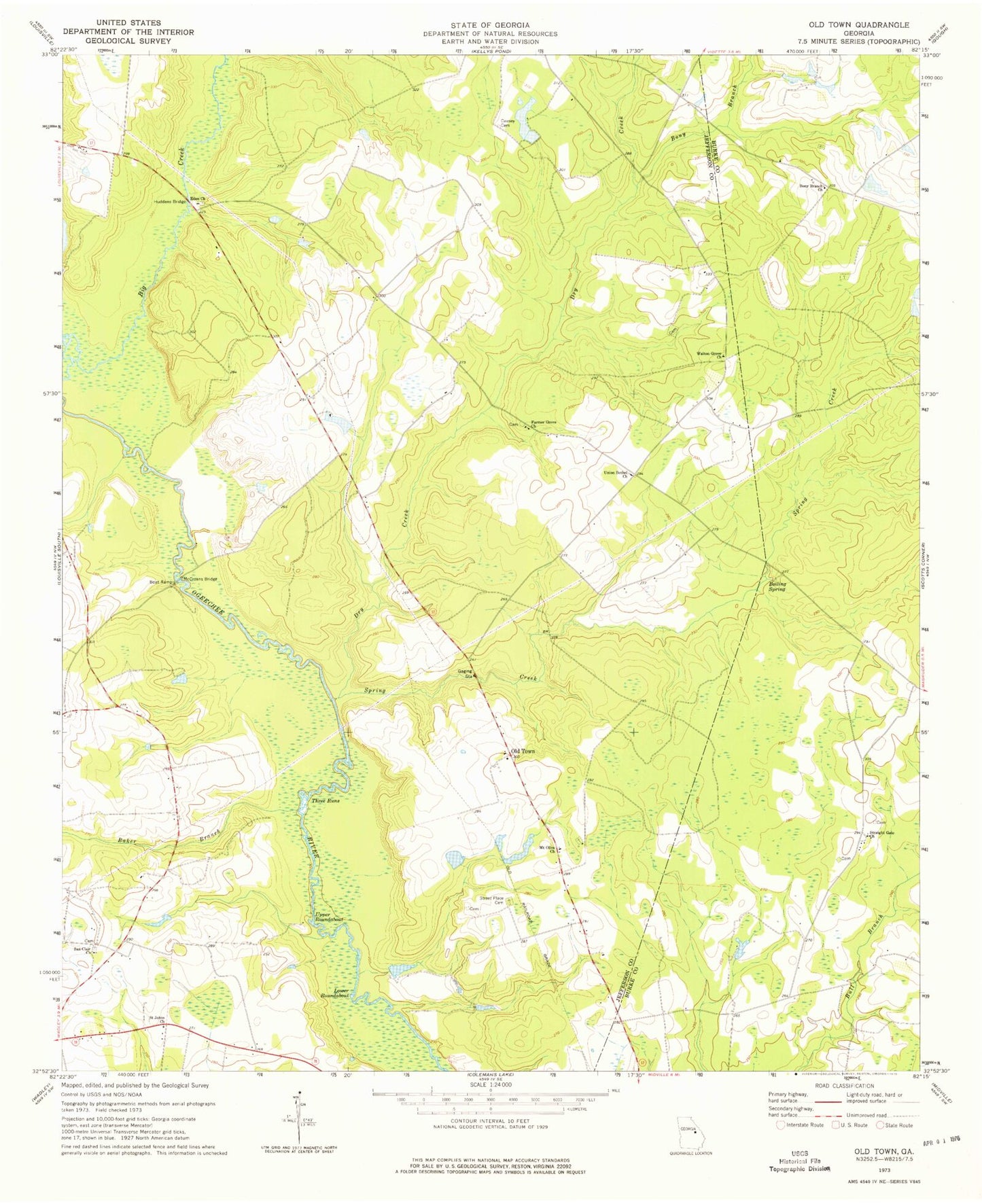
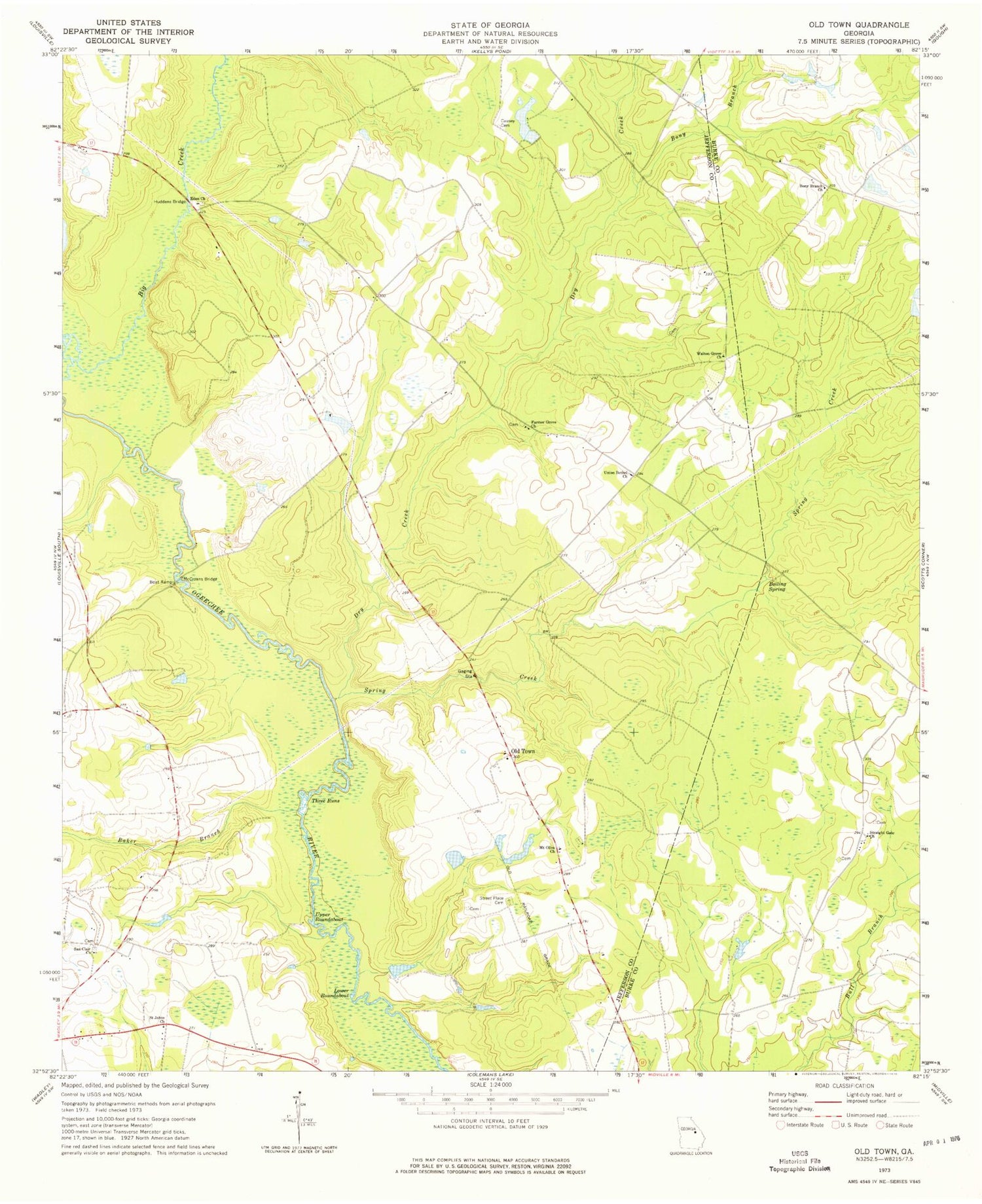
Classic USGS Old Town Georgia 7.5'x7.5' Topo Map
Couldn't load pickup availability
Historical USGS topographic quad map of Old Town in the state of Georgia. Map scale may vary for some years, but is generally around 1:24,000. Print size is approximately 24" x 27"
This quadrangle is in the following counties: Burke, Jefferson.
The map contains contour lines, roads, rivers, towns, and lakes. Printed on high-quality waterproof paper with UV fade-resistant inks, and shipped rolled.
Contains the following named places: Baker Branch, Big Creek, Boiling Spring, Bony Branch, Bony Branch Church, Causey Cemetery, Dry Creek, Eden Church, Farmer Grove Church, Farmers Grove School, Hancock Lake, Hancock Lake Dam, Huddens Bridge, Lower Roundabout, Magruder Farms Lake, Magruder Farms Lake Dam West, McCroans Bridge, Mount Olive Church, Old Town, Saint Johns Church, San Clair Church, Smith Lake, Smith Lake Dam, Spring Creek, Straight Gate Church, Street Place Cemetery, Three Runs, Turkey Pond Dam, Union Bethel Church, Union Camp Corporation Lake Dam, Union Camp Lake, Upper Roundabout, Walton Grove Church, Wommack Lake, Wommack Lake Dam


