MyTopo
Classic USGS Olga Florida 7.5'x7.5' Topo Map
Couldn't load pickup availability
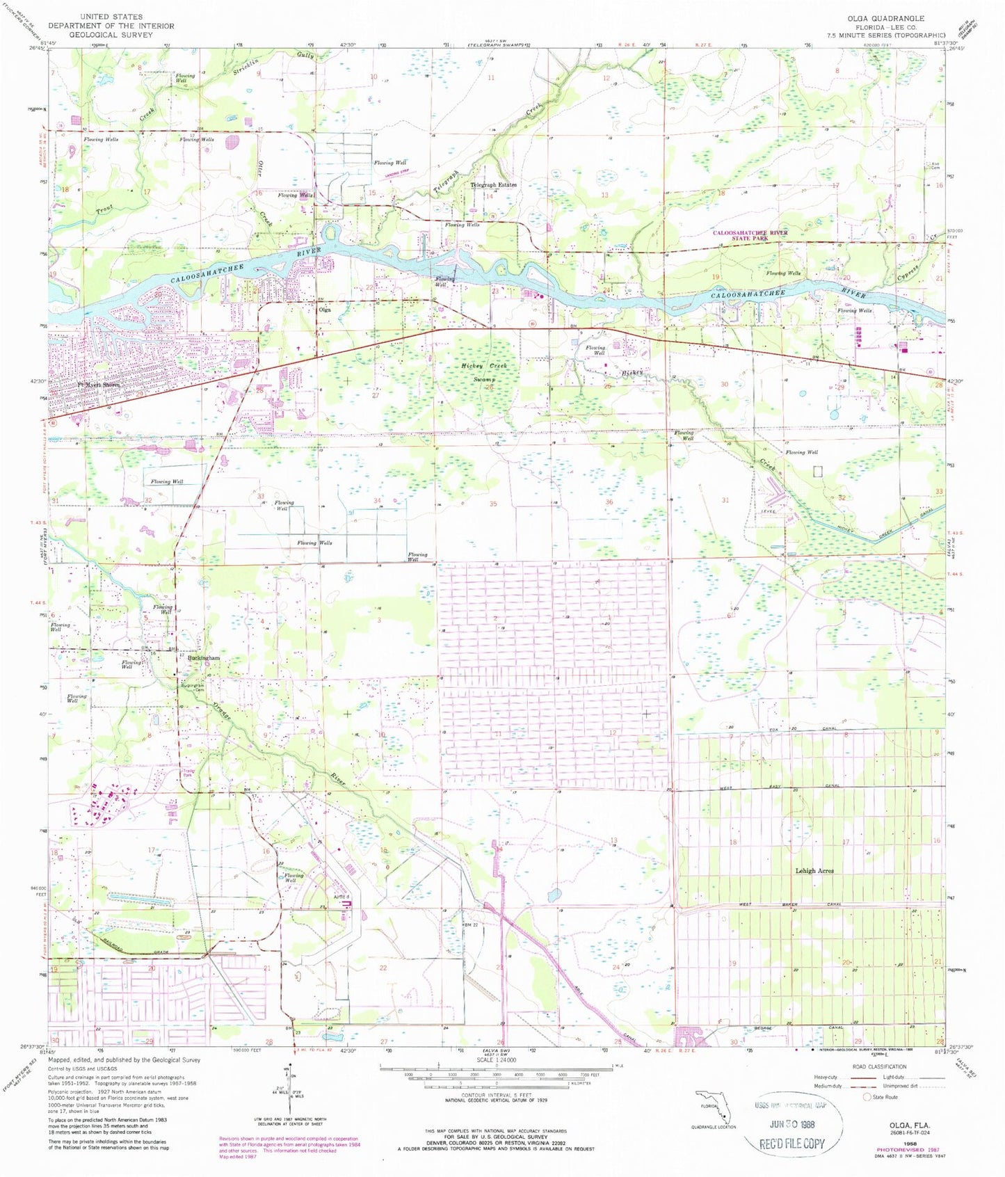
Historical USGS topographic quad map of Olga in the state of Florida. Map scale may vary for some years, but is generally around 1:24,000. Print size is approximately 24" x 27"
This quadrangle is in the following counties: Lee.
The map contains contour lines, roads, rivers, towns, and lakes. Printed on high-quality waterproof paper with UV fade-resistant inks, and shipped rolled.
Contains the following named places: Alva Census Designated Place, Buckingham, Buckingham Army Air Field, Buckingham Cemetery, Buckingham Census Designated Place, Buckingham Exceptional Student Center, Buckingham Field, Buckingham Presbyterian Church, Caloosahatchee River State Park, Christ Worship Center, Church of Christ, Cypress Creek, Fort Myers Shores, Fort Myers Shores Census Designated Place, Fort Myers Shores Division, Fox Canal, George Canal, Hickey Creek, Hickey Creek Canal, Hickey Creek Swamp, Lee County Public Library System Riverdale Branch Library, Lee County Sheriff's Office - Aviation Unit, Lehighs Canal, Olga, Olga and Fort Myers Shores United Methodist Church, Olga Baptist Church, Olga Census Designated Place, Olga Community Center, Otter Creek, Owanita, Riverdale High School, Stricklin Gully, Telegraph Creek, Telegraph Estates, Tice Fire Department Protection and Rescue District Station 2, Trout Creek, Verandah, Verandah Census Designated Place, West Baker Canal, West Easy Canal, ZIP Codes: 33920, 33971


