MyTopo
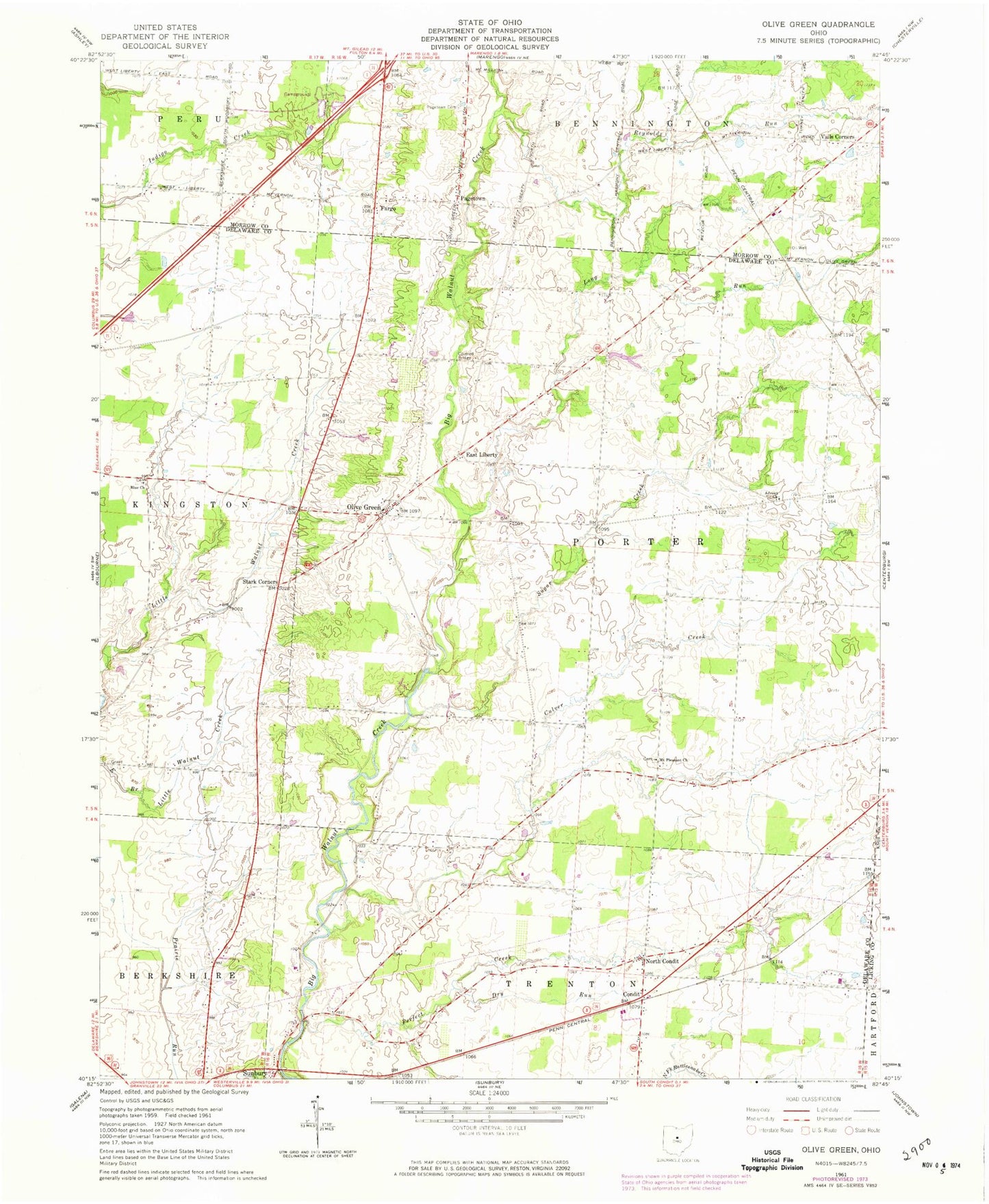
Classic USGS Olive Green Ohio 7.5'x7.5' Topo Map
Couldn't load pickup availability
Historical USGS topographic quad map of Olive Green in the state of Ohio. Map scale may vary for some years, but is generally around 1:24,000. Print size is approximately 24" x 27"
This quadrangle is in the following counties: Delaware, Knox, Licking, Morrow.
The map contains contour lines, roads, rivers, towns, and lakes. Printed on high-quality waterproof paper with UV fade-resistant inks, and shipped rolled.
Contains the following named places: Ach Nursery, Advent Church, Beacon School, Big Walnut Golf Course, Blue Church, Center School, Chambers Bridge, Condit, Condit Post Office, Culver Creek, Dry Run, East Liberty, East Liberty Cemetery, East Porter School, Fargo, Fargo Methodist Episcopal Cemetery, Fargo Post Office, Fargo Wesleyan Church, Fisher School, Fox School, Hawkins School, Kenney Cemetery, Long Run, Mount Pleasant Community Church, Mount Pleasant Methodist Episcopal Churchyard, Mount Pleasant School, North Condit, North Condit School, North Taway School, Old Blue Cemetery, Old Stone School, Olive Green, Pagetown, Pagetown Cemetery, Pagetown Post Office, Peerless, Peerless Post Office, Perfect Creek, Perfect School, Pleasant Hill School, Porter - Kingston Fire District, Porter-Stark Cemetery, Preacher Daveys Graveyard, Reynolds Run, Robinson Cemetery, Rosencrans Cemetery, Schaefer School, Stark Corners, Stark School, Sugar Creek, Sunbury Estates, Sunbury Industrial Park, Township of Porter, Vails Corners, White Oak Field, Zurik Airport, ZIP Code: 43074