MyTopo
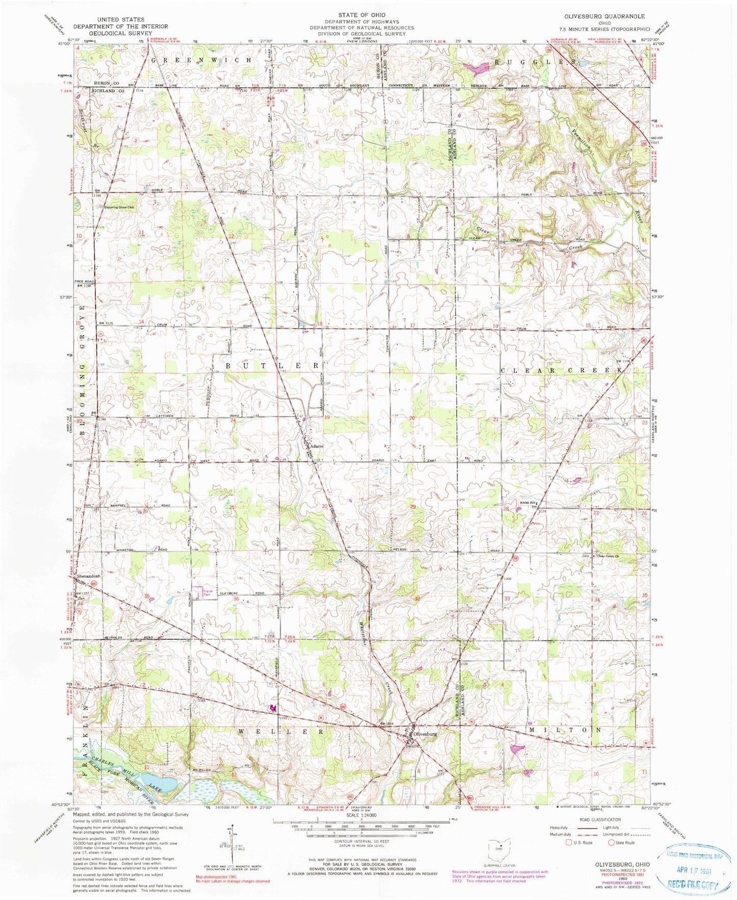
Classic USGS Olivesburg Ohio 7.5'x7.5' Topo Map
Couldn't load pickup availability
Historical USGS topographic quad map of Olivesburg in the state of Ohio. Map scale may vary for some years, but is generally around 1:24,000. Print size is approximately 24" x 27"
This quadrangle is in the following counties: Ashland, Huron, Richland.
The map contains contour lines, roads, rivers, towns, and lakes. Printed on high-quality waterproof paper with UV fade-resistant inks, and shipped rolled.
Contains the following named places: Adario, Adario Cemetery, Adario Post Office, Amish School, Blooming Grove Cemetery, Blooming Grove Church, Brubaker Creek, Brytes Churchyard, Butler Church, Clear Creek, Clear Creek Church, Crestview High School, Fowler Woods State Nature Preserve, Marks Lake, Marks Lake Dam, Mount Olivet Cemetery, Noble Road Landfill, Olivesburg, Olivesburg Post Office, Oswalt Aerodrome Airport, Pin Oak Mobile Home Park, Reformed Church Cemetery, Shenandoah, Shenandoah Christian Church, Shenandoah Post Office, Township of Butler, Township of Clear Creek, White Dairy