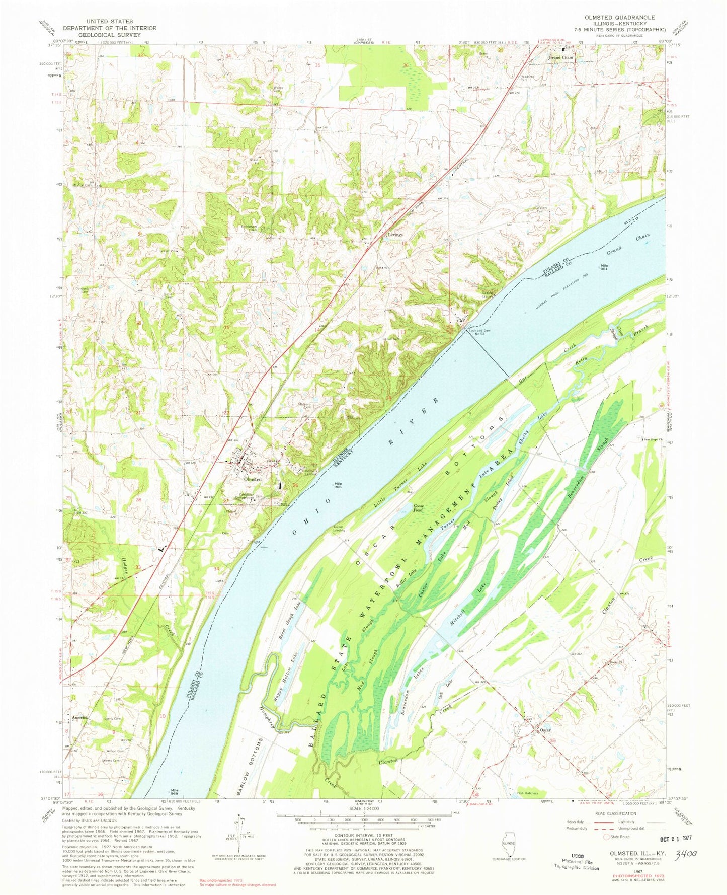
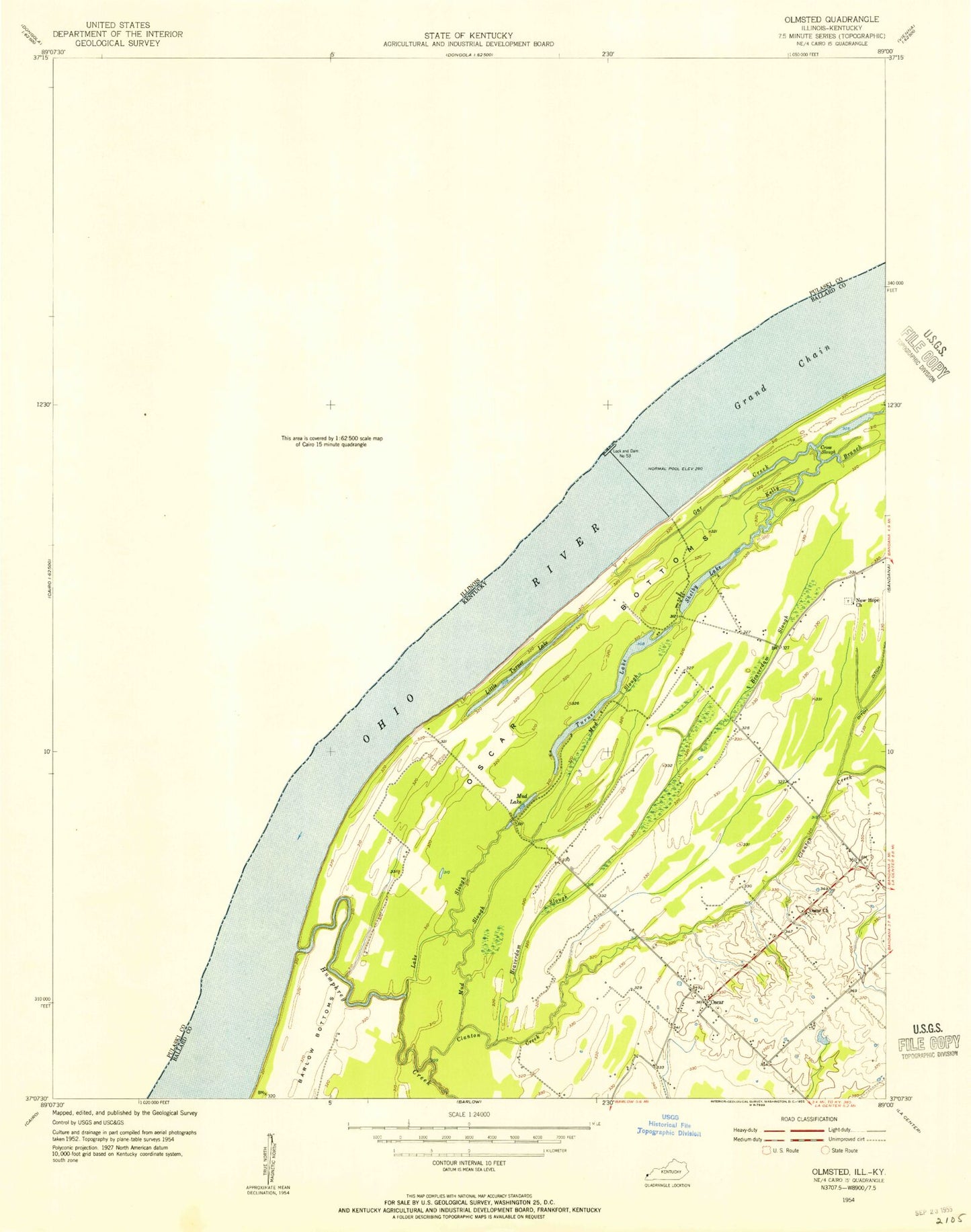
MyTopo
Classic USGS Olmsted Illinois 7.5'x7.5' Topo Map
Couldn't load pickup availability
Historical USGS topographic quad map of Olmsted in the states of Illinois, Kentucky. Map scale may vary for some years, but is generally around 1:24,000. Print size is approximately 24" x 27"
This quadrangle is in the following counties: Ballard, Pulaski.
The map contains contour lines, roads, rivers, towns, and lakes. Printed on high-quality waterproof paper with UV fade-resistant inks, and shipped rolled.
Contains the following named places: America, Ballard State Waterfowl Management Area, Beaverdam Lake, Beaverdam Slough, Bethlehem Cemetery, Bethlehem School, Burnt Slough Lake, Butler Lake, Caledonia Campground, Caledonia Landing, Calvin Cemetery, Castor Lake, Chestnut Hills Nature Preserve, Clanton Creek, Concord Cemetery, Concord School, Cross Slough, Crossroads School, Gar Creek, Goose Pond, Happy Hollow Lake, Hodges Creek, Humphrey Creek, Kelly Branch, Lake Slough, Levings, Little Turner Lake, Lyerly Cemetery, Mitchell Lake, Mount Zion Cemetery, Mud Slough, New Hope Cemetery, New Hope Church, North Center School, Oak Lake, Ohio River Locks and Dam Number Fifty-Three, Ohio School, Olmsted, Olmsted Election Precinct, Olmsted Post Office, Olmsted Volunteer Fire Department, Oscar, Oscar Bottoms, Oscar Cemetery, Oscar Church, Sheets Cemetery, Shelby Lake, Turkey Lake, Turner Lake, Turner Landing, Village of Olmsted, Waters Cemetery, Weese Cemetery, Wilson Cemetery, ZIP Code: 62970