MyTopo
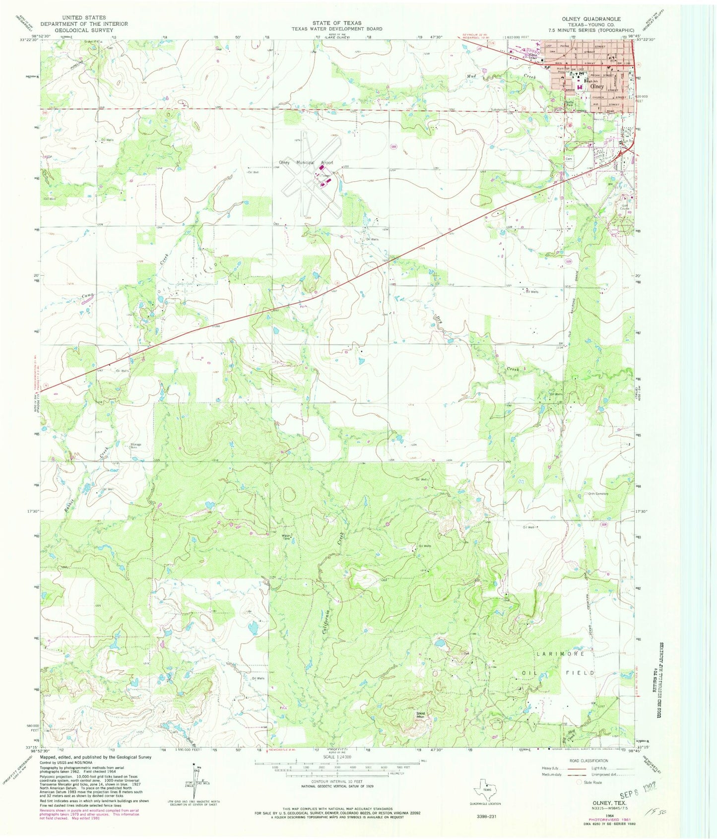
Classic USGS Olney Texas 7.5'x7.5' Topo Map
Couldn't load pickup availability
Historical USGS topographic quad map of Olney in the state of Texas. Map scale may vary for some years, but is generally around 1:24,000. Print size is approximately 24" x 27"
This quadrangle is in the following counties: Young.
The map contains contour lines, roads, rivers, towns, and lakes. Printed on high-quality waterproof paper with UV fade-resistant inks, and shipped rolled.
Contains the following named places: Church of Christ, Church of God, City of Olney, Cumberland Presbyterian Church, Griffin Park, Larimore Oil Field, Olney, Olney Assembly Church, Olney Division, Olney Elementary School, Olney Fire Department, Olney Hamilton Hospital, Olney High School, Olney Junior High School, Olney Municipal Airport, Olney Municipal Building, Olney Police Department, Olney Post Office, Orth Cemetery, Saint Luke Lutheran Church, Skid Mountain