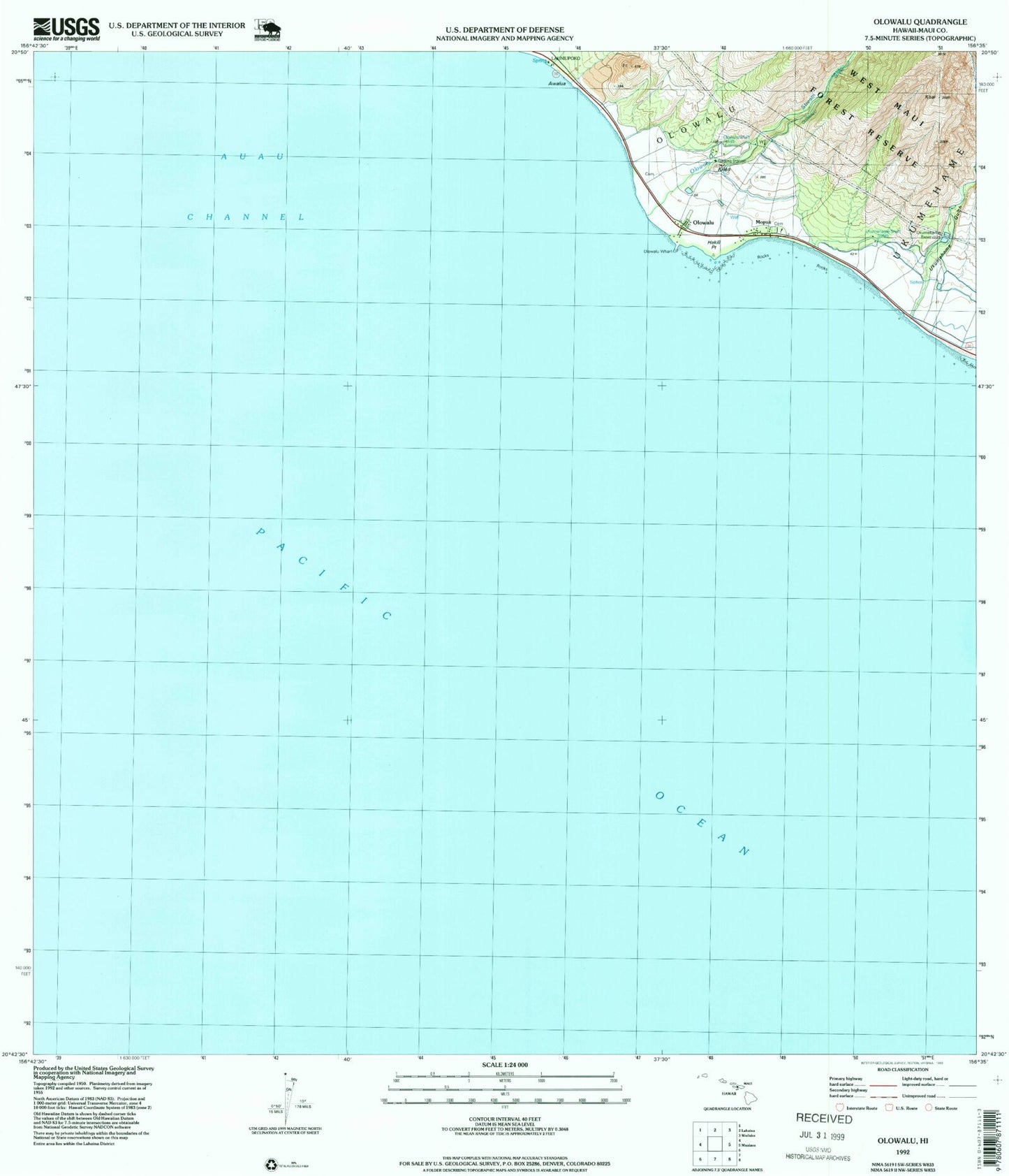
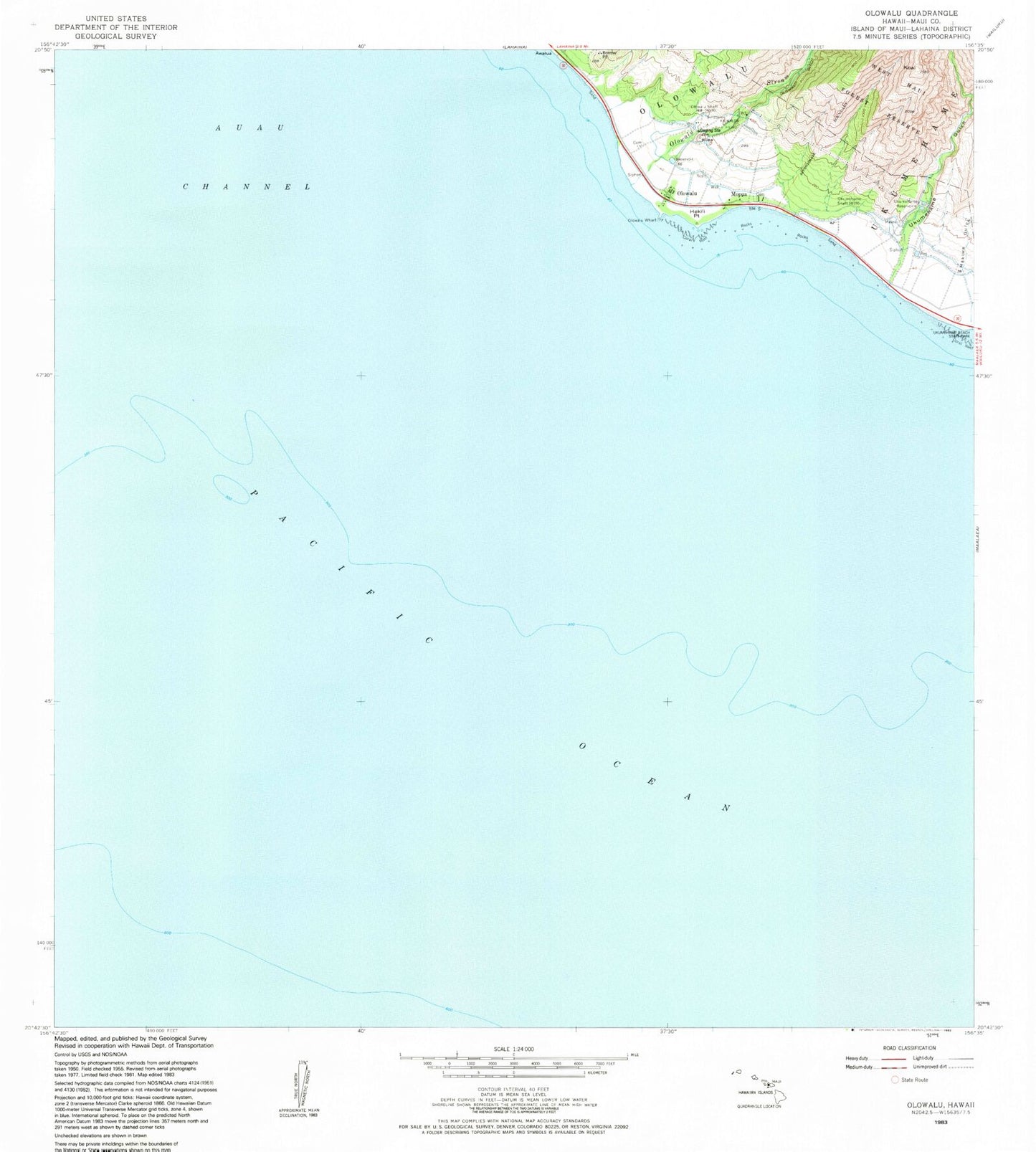
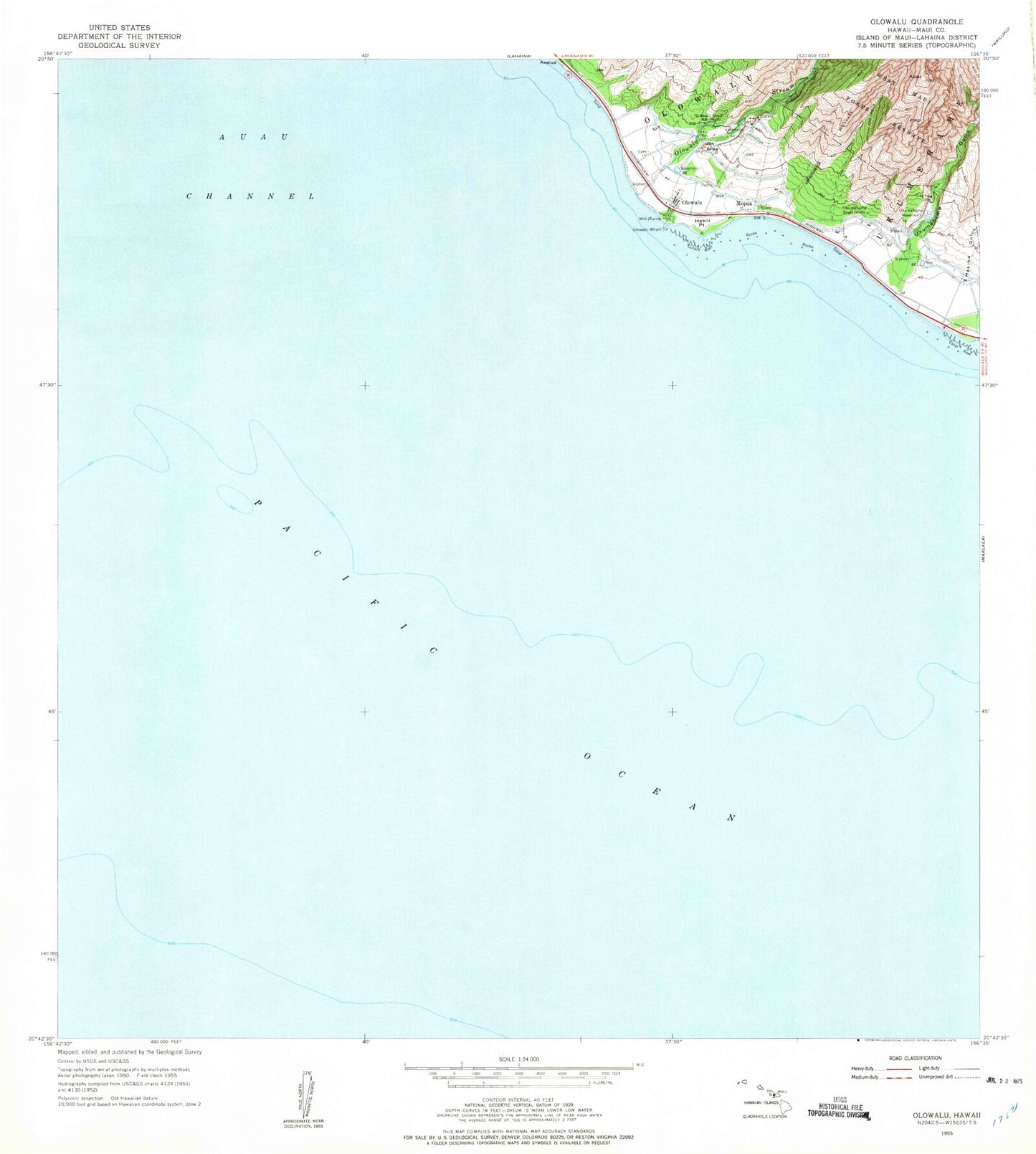
MyTopo
Classic USGS Olowalu Hawaii 7.5'x7.5' Topo Map
Couldn't load pickup availability
Historical USGS topographic quad map of Olowalu in the state of Hawaii. Map scale may vary for some years, but is generally around 1:24,000. Print size is approximately 24" x 27"
This quadrangle is in the following counties: Maui.
The map contains contour lines, roads, rivers, towns, and lakes. Printed on high-quality waterproof paper with UV fade-resistant inks, and shipped rolled.
Contains the following named places: Au'au Channel, Awalua, Hekili Point, Ka Puali, Kailiili, Kaiwaloa Heiau, Kilea, Ko'ai, Kulanaokalai Beach, Mopua, Nalima Wai, Olowalu, Olowalu Beach, Olowalu Census Designated Place, Olowalu Ditch, Olowalu Shaft, Olowalu Stream, Olowalu Wharf, Punahoa, Ukumehame Beach State Park, Ukumehame Bridge, Ukumehame Gulch, Ukumehame Reservoirs, Ukumehame Shaft, 'Ula'ula, West Maui Forest Reserve