MyTopo
Classic USGS Olsen Reservoir Utah 7.5'x7.5' Topo Map
Regular price
$16.95
Regular price
Sale price
$16.95
Unit price
per
Couldn't load pickup availability
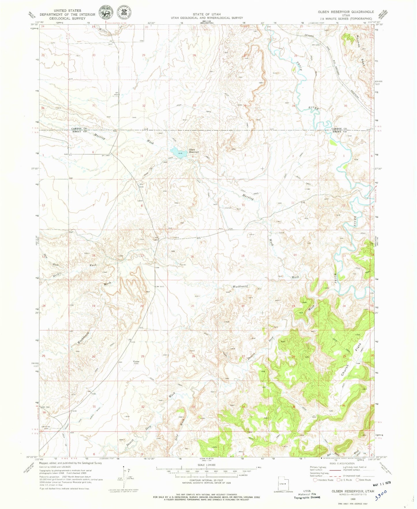
Historical USGS topographic quad map of Olsen Reservoir in the state of Utah. Map scale may vary for some years, but is generally around 1:24,000. Print size is approximately 24" x 27"
This quadrangle is in the following counties: Carbon, Emery.
The map contains contour lines, roads, rivers, towns, and lakes. Printed on high-quality waterproof paper with UV fade-resistant inks, and shipped rolled.
Contains the following named places: Church Flats, Desert Seep Wash, Drop Wash, Marsing Wash, Mathis Wash, Olsen Dam, Olsen Reservoir, Red Holes Wash, Sand Wash, Victor, Victor Cemetery, Washboard Wash