MyTopo
Classic USGS Olson Springs Wyoming 7.5'x7.5' Topo Map
Regular price
$16.95
Regular price
Sale price
$16.95
Unit price
per
Couldn't load pickup availability
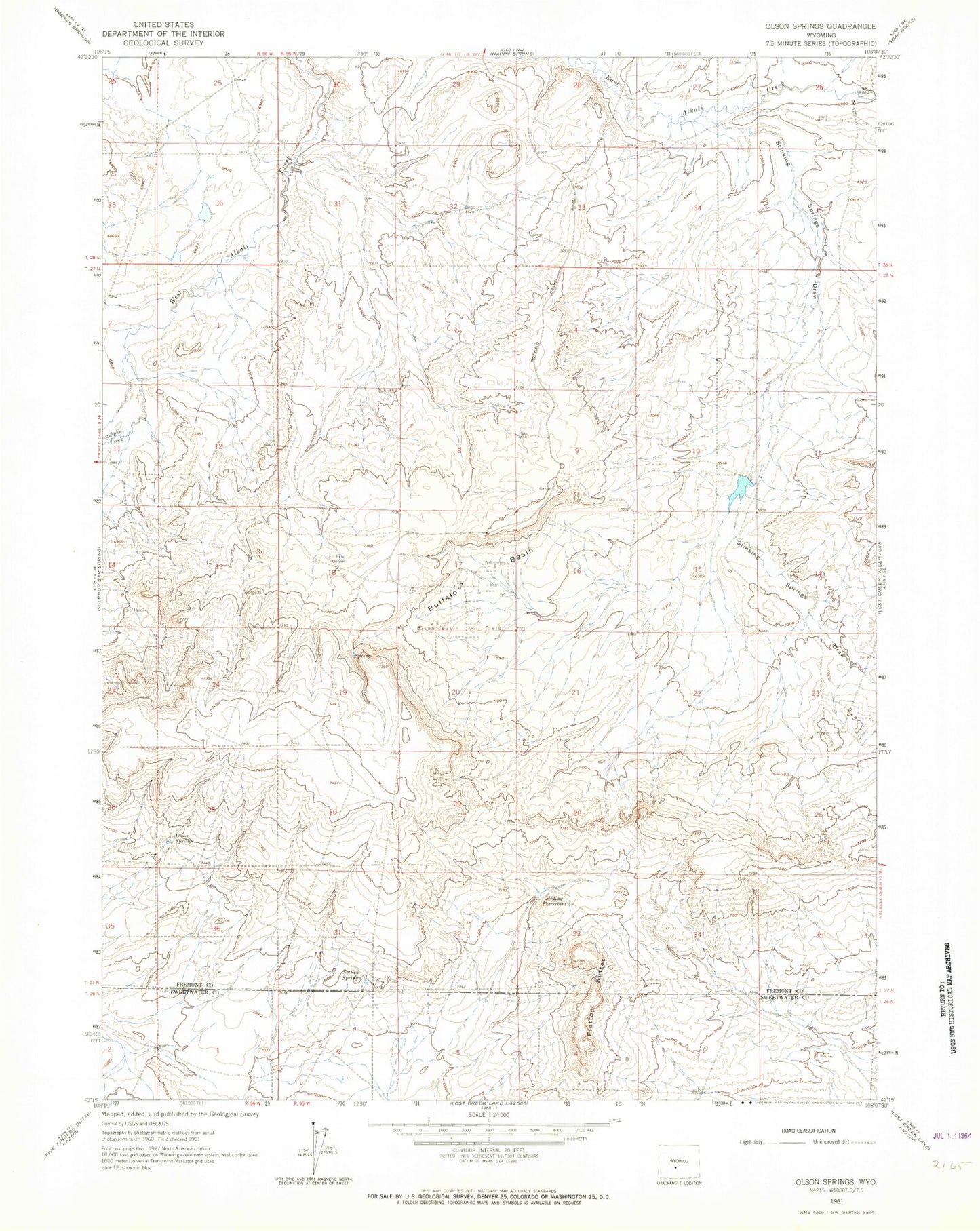
Historical USGS topographic quad map of Olson Springs in the state of Wyoming. Map scale may vary for some years, but is generally around 1:24,000. Print size is approximately 24" x 27"
This quadrangle is in the following counties: Fremont, Sweetwater.
The map contains contour lines, roads, rivers, towns, and lakes. Printed on high-quality waterproof paper with UV fade-resistant inks, and shipped rolled.
Contains the following named places: Bison Basin Oil Field, Buffalo Basin, Buffalo Bill Camp, Flattop Buttes, McKay Reservoirs, Olson Springs, Smiley Springs, Stinking Springs Draw, Sulphur Creek