MyTopo
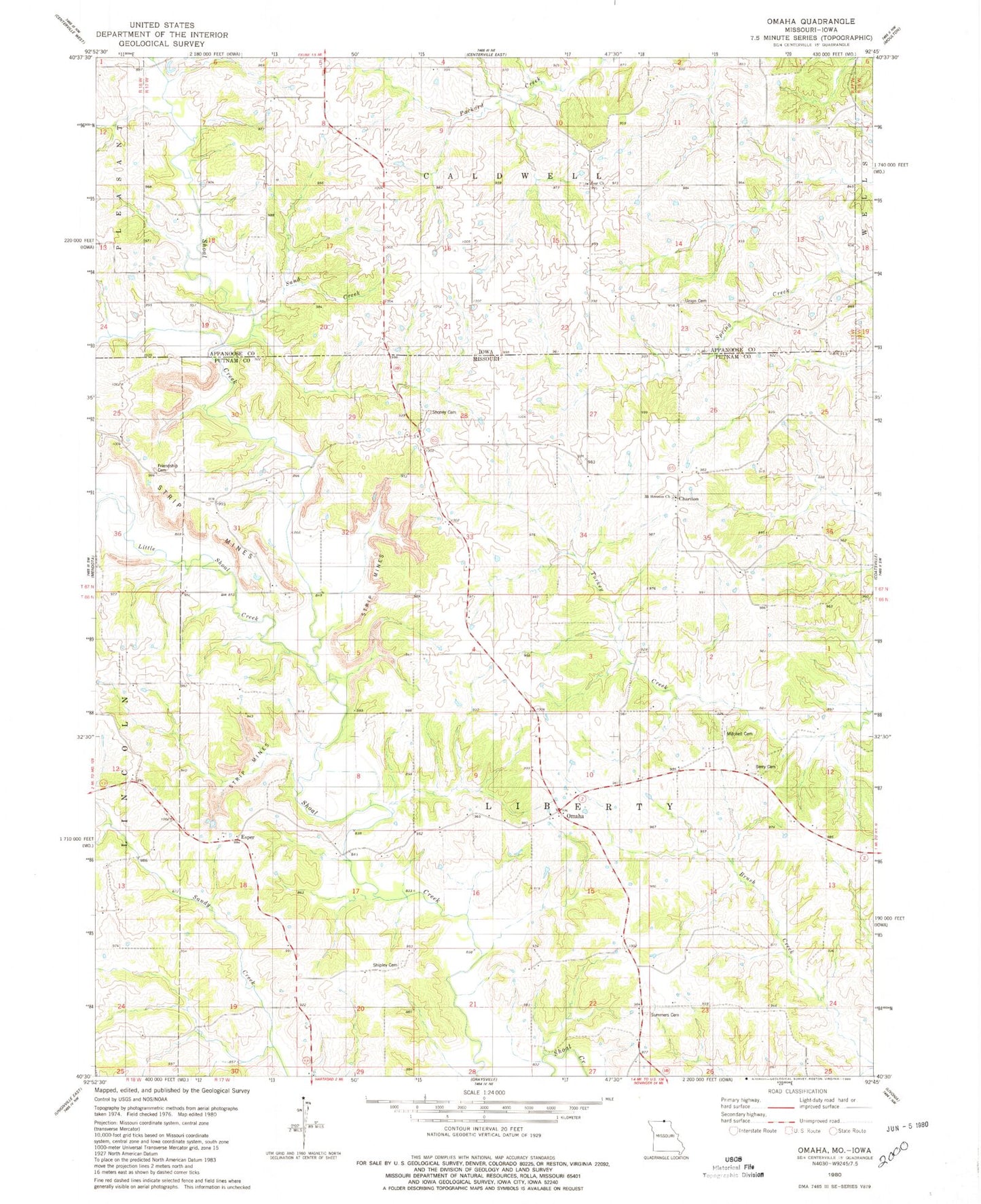
Classic USGS Omaha Missouri 7.5'x7.5' Topo Map
Couldn't load pickup availability
Historical USGS topographic quad map of Omaha in the states of Missouri, Iowa. Map scale may vary for some years, but is generally around 1:24,000. Print size is approximately 24" x 27"
This quadrangle is in the following counties: Appanoose, Putnam.
The map contains contour lines, roads, rivers, towns, and lakes. Printed on high-quality waterproof paper with UV fade-resistant inks, and shipped rolled.
Contains the following named places: Abbott School, Berry Cemetery, Berry School, Chariton, Esper, Friendship Cemetery, Friendship School, Liberty Township Fire Protection District, Little Shoal Creek, Mitchell Cemetery, Mount Hermon Church, Omaha, Petty School, Sand Creek, Shipley Cemetery, Shoney Cemetery, Shoney School, Summers Cemetery, Township of Liberty, Union Cemetery, Wells School, Zoar Cemetery