MyTopo
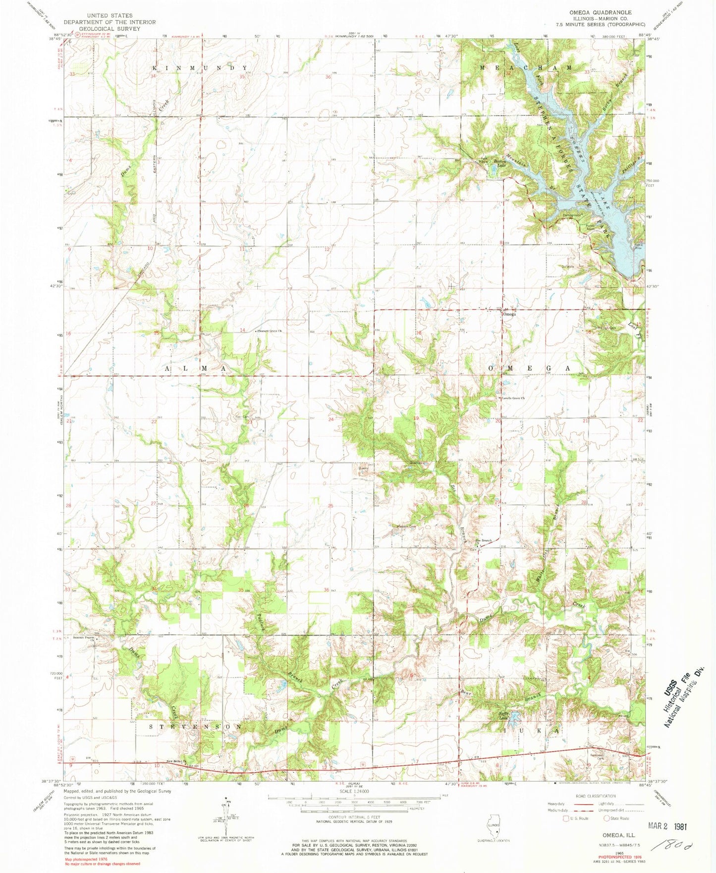
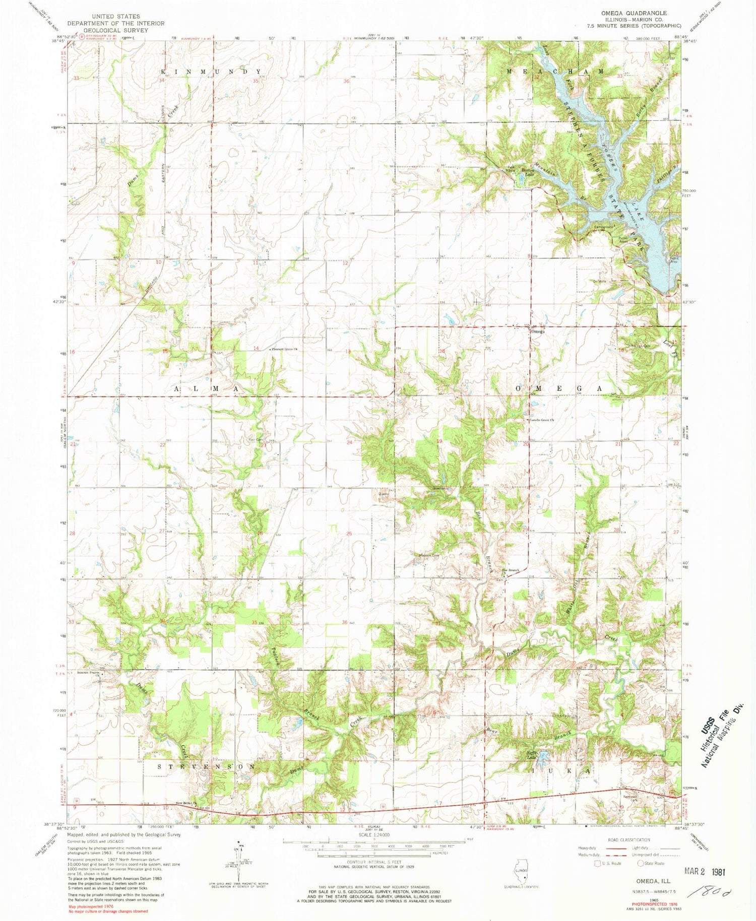
Classic USGS Omega Illinois 7.5'x7.5' Topo Map
Couldn't load pickup availability
Historical USGS topographic quad map of Omega in the state of Illinois. Map scale may vary for some years, but is generally around 1:24,000. Print size is approximately 24" x 27"
This quadrangle is in the following counties: Marion.
The map contains contour lines, roads, rivers, towns, and lakes. Printed on high-quality waterproof paper with UV fade-resistant inks, and shipped rolled.
Contains the following named places: Allen School, Bear Branch, Bee Branch, Bee Branch Cemetery, Bee Branch Church, Bee Branch School, Black Oak Picnic Area, Boston Lake, Brubaker School, Campground Church, Campground School, Circle Drive Picnic Area, Elder School, Forbes Lake, Hadden Cemetery, Hebron School, Kagy School, Lookout Point Picnic Area, Lovells Grove Cemetery, Lovells Grove Church, Millican Cemetery, Mountain Branch, Neffs Lake, Neffs Lake Dam, New Bethel Church, Omega, Phillips Branch, Pleasant Grove Church, Red Lick School, Robinson Cemetery, Rocky Branch, Rocky Point Beach, Sassafras Picnic Area, Shriver School, Siloam Church, Stage Coach Trail Picnic Area, Stephen A Forbes State Park, Stringtown School, Summit Prairie Baptist Church, Summit Prairie Cemetery, Tadlock Branch, Township of Alma, Township of Omega, Wamac Picnic Area, Whippoorwill Picnic Area, White Oak Branch, White Oak Picnic Area, Wilson School, Yost Cemetery


