MyTopo
Classic USGS Omro Wisconsin 7.5'x7.5' Topo Map
Couldn't load pickup availability
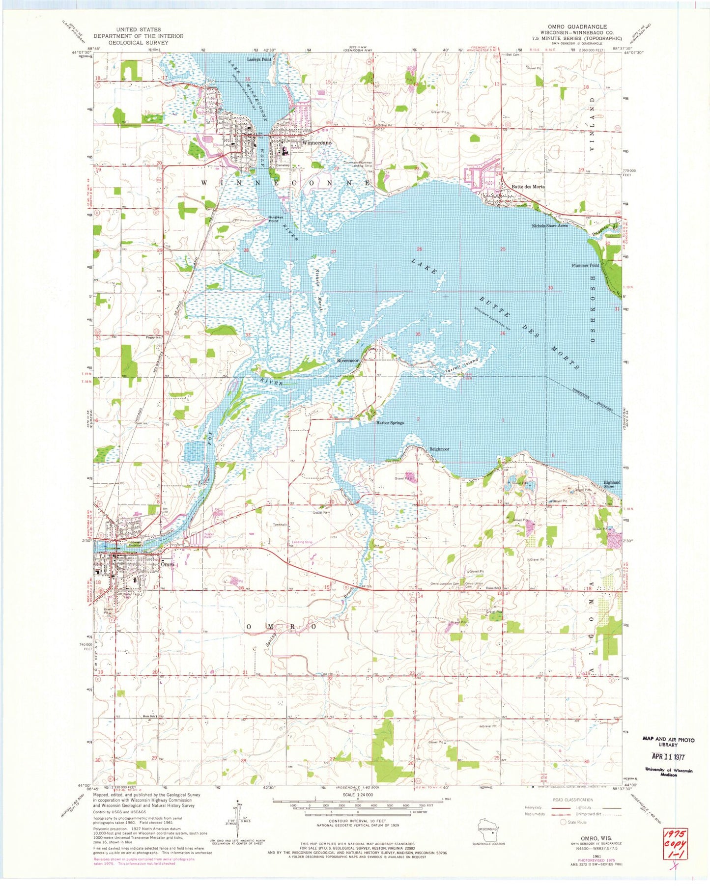
Historical USGS topographic quad map of Omro in the state of Wisconsin. Map scale may vary for some years, but is generally around 1:24,000. Print size is approximately 24" x 27"
This quadrangle is in the following counties: Winnebago.
The map contains contour lines, roads, rivers, towns, and lakes. Printed on high-quality waterproof paper with UV fade-resistant inks, and shipped rolled.
Contains the following named places: Beiser Farm, Butte des Morts, Butte des Morts Census Designated Place, Butte Des Morts Post Office, Carter Memorial Library, City of Omro, Courtney Plummer Airport, Daggets Creek, Deja Vu Farm, First Baptist Church, First Presbyterian Church, Grace Lutheran Church, Grand Butte Des Morts, Gunz Farms, Harbor Springs, Highland Shore, Lake Butte des Morts, Mill Acres, Nichols Shore Acres, Nickels Marsh, Omro, Omro Elementary School, Omro High School, Omro Junction Cemetery, Omro Junction Elementary School, Omro Methodist Episcopal Church, Omro Middle School, Omro Police Department, Omro Post Office, Omro Rushford Volunteer Fire Department, Omro Union Cemetery, Omro Wastewater Treatment Plant, Oshkosh Sky Ranch Airport, Overton Farm, Patch Elementary School, Pingry School, Plummer Point, Quigleys Point, Rasmussen's Apple Acres, Reighmoor, Remer Farms, Rivermoor, Saint Lukes Evangelical Lutheran Church, Saint Marys Roman Catholic Church, Schmude Farms, Sheppard Quarry, Sky Diving Airport, Sleepy Hollow Farm, Spring Brook, Terrell Island, Tidy View Dairy, Town of Omro, Town of Winneconne, Village of Winneconne, West Side Cemetery, Wilzville Farms, Winchester Elementary School, Winnebago County, Winneconne, Winneconne - Poygan Fire District, Winneconne Cemetery, Winneconne Elementary School, Winneconne High School, Winneconne Middle School, Winneconne Police Department, Winneconne Post Office, Winneconne Public Library, Winneconne Wastewater Treatment Plant, Wolf River, ZIP Codes: 54927, 54986


