MyTopo
Classic USGS Ona Florida 7.5'x7.5' Topo Map
Regular price
$16.95
Regular price
Sale price
$16.95
Unit price
per
Couldn't load pickup availability
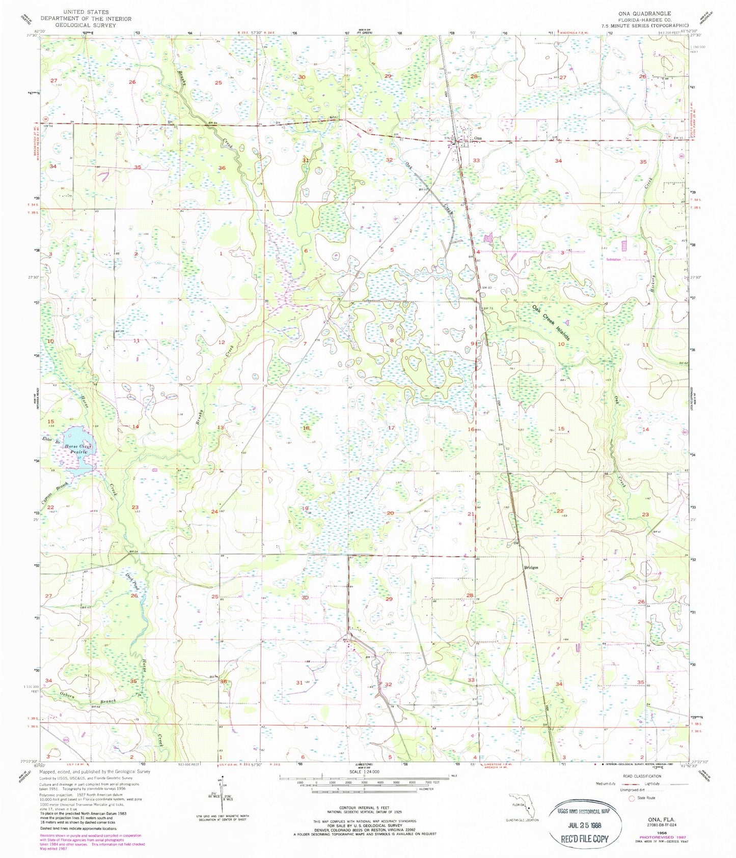
Historical USGS topographic quad map of Ona in the state of Florida. Map scale may vary for some years, but is generally around 1:24,000. Print size is approximately 24" x 27"
This quadrangle is in the following counties: Hardee.
The map contains contour lines, roads, rivers, towns, and lakes. Printed on high-quality waterproof paper with UV fade-resistant inks, and shipped rolled.
Contains the following named places: Bridges, Brushy Creek, Cypress Branch, Duck Pond, Elder Branch, Heritage Private School of Hardee County, Horse Creek Prairie, Oak Creek Islands, Ona, Ona Census Designated Place, Ona Post Office, Osborn Branch, Wauchula Division, ZIP Code: 33865