
MyTopo
Classic USGS Onamia NW Minnesota 7.5'x7.5' Topo Map
Regular price
$16.95
Regular price
Sale price
$16.95
Unit price
per
Couldn't load pickup availability
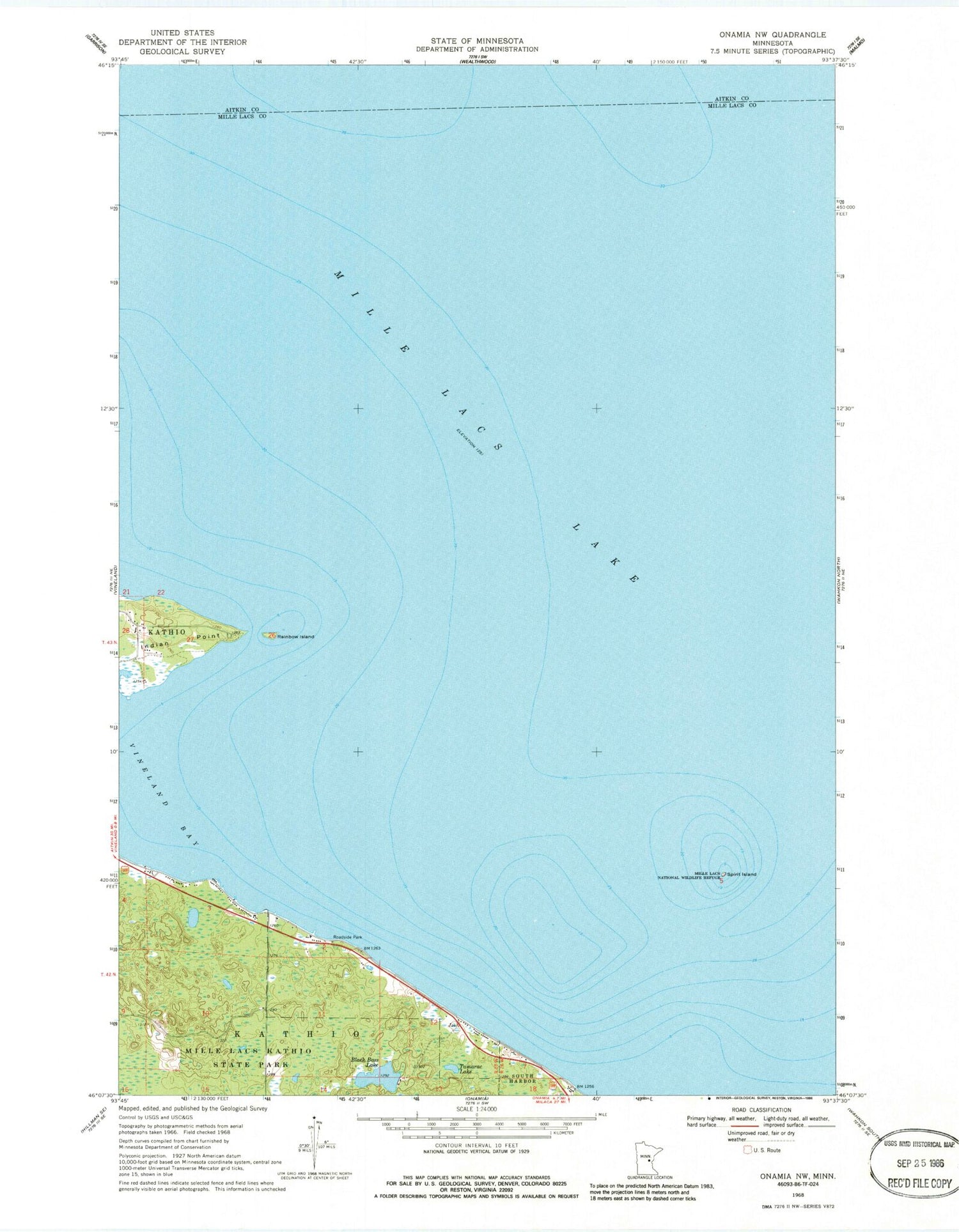
Historical USGS topographic quad map of Onamia NW in the state of Minnesota. Map scale may vary for some years, but is generally around 1:24,000. Print size is approximately 24" x 27"
This quadrangle is in the following counties: Aitkin, Mille Lacs.
The map contains contour lines, roads, rivers, towns, and lakes. Printed on high-quality waterproof paper with UV fade-resistant inks, and shipped rolled.
Contains the following named places: Black Bass Lake, Indian Point, Mille Lacs Kathio State Park, Mille Lacs Lake, Mille Lacs Reservation, Rainbow Island, Spirit Island, Tamarac Lake, Township of Kathio, Vineland Bay


