MyTopo
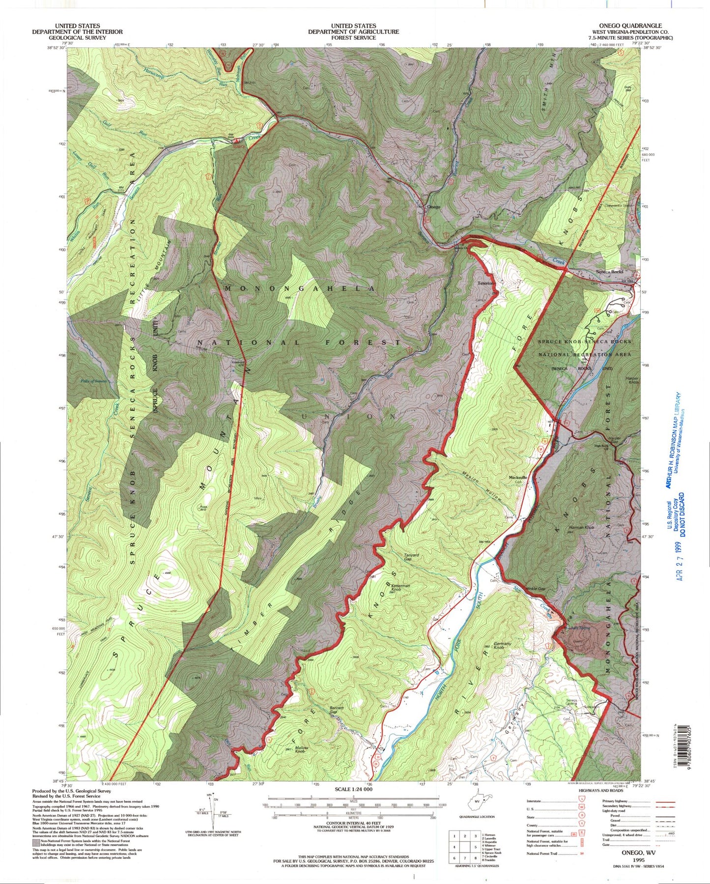
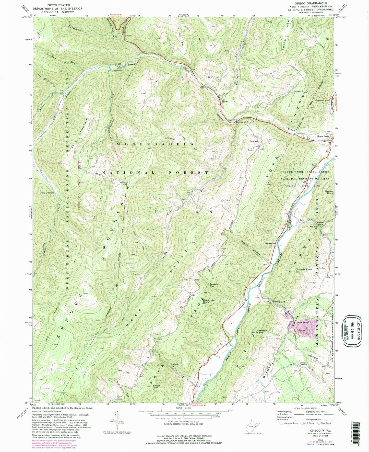
Classic USGS Onego West Virginia 7.5'x7.5' Topo Map
Couldn't load pickup availability
Historical USGS topographic quad map of Onego in the states of West Virginia, Virginia. Typical map scale is 1:24,000, but may vary for certain years, if available. Print size: 24" x 27"
This quadrangle is in the following counties: Pendleton.
The map contains contour lines, roads, rivers, towns, and lakes. Printed on high-quality waterproof paper with UV fade-resistant inks, and shipped rolled.
Contains the following named places: Bennett Gap, Brushy Run, Falls of Seneca, Germany Knob, Germany Valley, Gulf Run, Harman Knob, Harper Gap, High Rock Church, Hinkle Gap, Horsecamp Run, Judy Spring, Ketterman Knob, Little Mountain, Lower Gulf Run, Mallow Knob, McIntosh Run, Mexico Hollow, Mill Creek, Seneca Rocks, Onego, Roaring Creek, Seneca Campground, Seneca Church, Strader Run, Tanyard Gap, Teterton, Timber Ridge, Wamsley Run, Whites Run, Spruce Knob-Seneca Rocks National Recreation Area, High Meadows Trail, Seneca Shadows Recreation Site, Macksville, Boggs School (historical), Brushy Run School (historical), Cave School (historical), Harper Gap School (historical), Keel Spring School (historical), Key (historical), Mallow School (historical), Tanyard School (historical), McDonald Springs, Roaring Springs, Western District, Potomac Wildlife Management Area, Seneca Rocks Volunteer Fire Department, Seneca Rocks Post Office, Onego Post Office, Rockingham County Department of Fire and Rescue