MyTopo
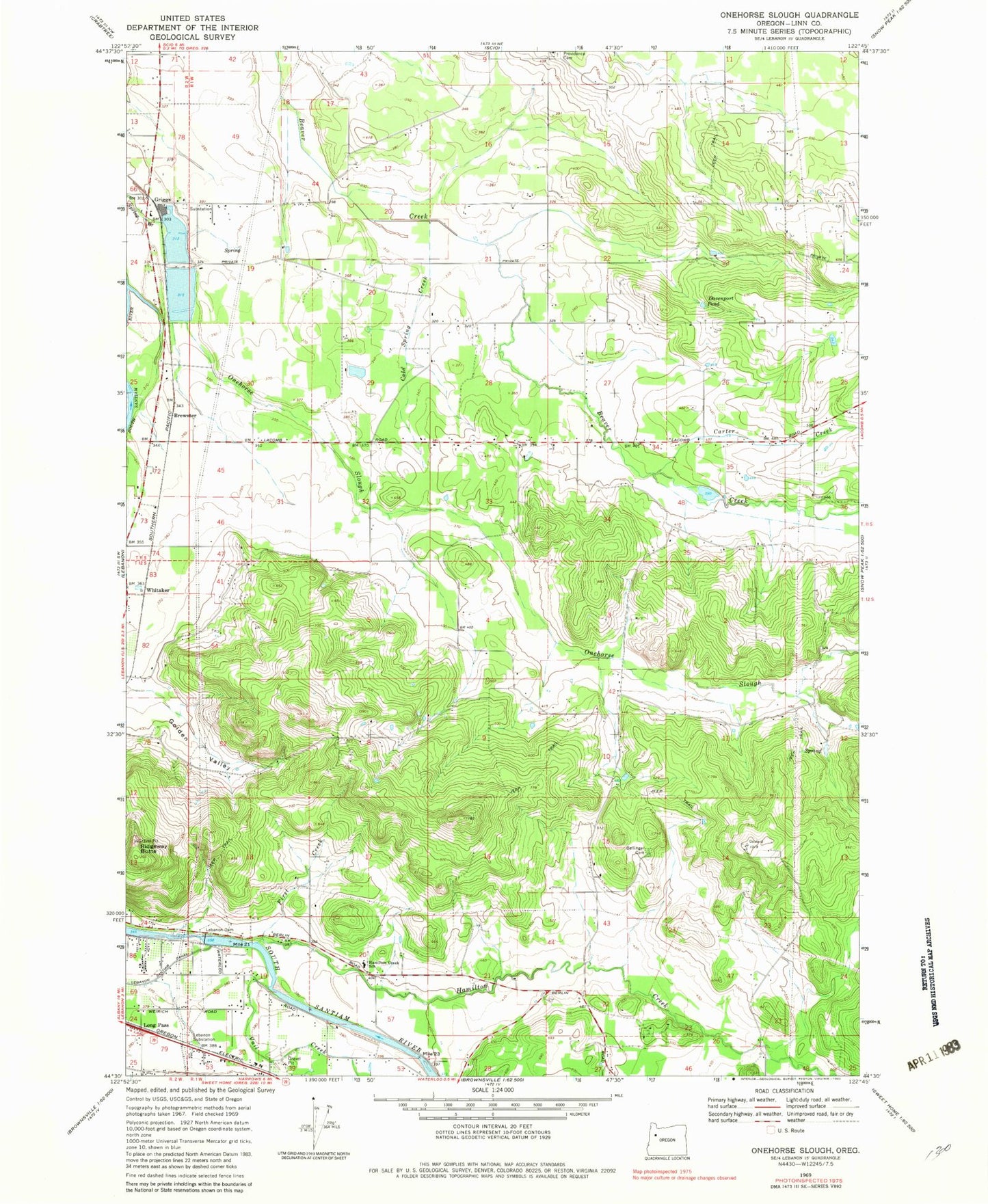
Classic USGS Onehorse Slough Oregon 7.5'x7.5' Topo Map
Couldn't load pickup availability
Historical USGS topographic quad map of Onehorse Slough in the state of Oregon. Map scale may vary for some years, but is generally around 1:24,000. Print size is approximately 24" x 27"
This quadrangle is in the following counties: Linn.
The map contains contour lines, roads, rivers, towns, and lakes. Printed on high-quality waterproof paper with UV fade-resistant inks, and shipped rolled.
Contains the following named places: Abberdeen Post Office, Barr Bridge, Bellinger Cemetery, Berthelson Pond, Brewster, Calvins Pond, Carter Creek, Clarks Pond, Claypool Bridge, Cold Spring Creek, Davenport Pond, First Creek, Golden Valley, Griggs, Griggs School, Hamilton Creek, Hamilton Creek School, Johnson Lake, Kelley Timber Products, Lebanon Dam, Lebanon Substation, Little Reservoir, Long Pass, Mt Hope Airport, Mystery Hills Reservoir, Onehorse Slough, Ornoname 5 Dam, Pacific Northwest Moulding Company, Providence Cemetery, Ridgeway Butte, Snow Peak Log Pond, Taylor Reservoir, Vail Creek, Western Log Pond, Western Veneer and Plywood Dam, Whitaker, Willamette Industries Wastewater Treatment Plant, ZIP Code: 97355