MyTopo
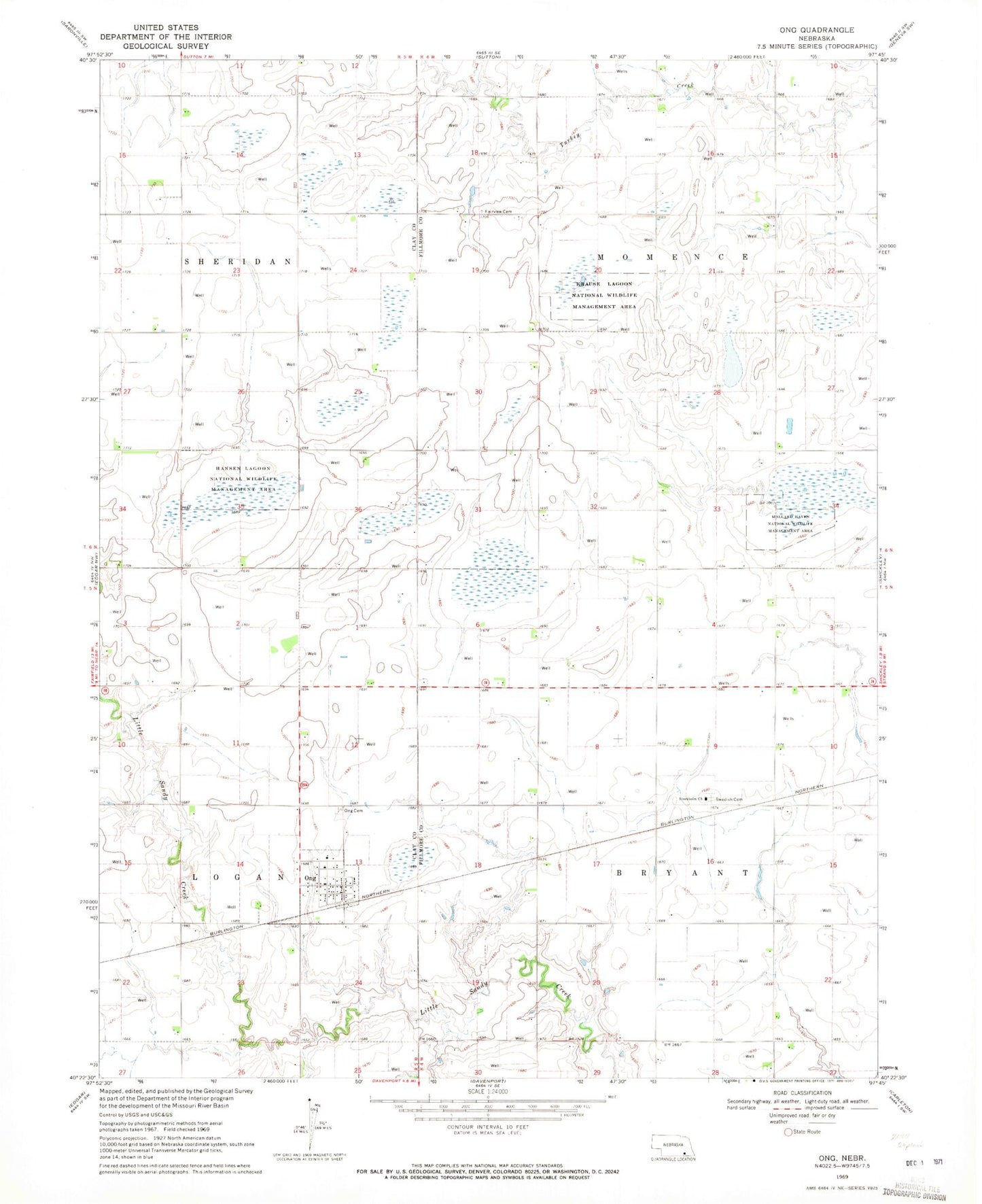
Classic USGS Ong Nebraska 7.5'x7.5' Topo Map
Couldn't load pickup availability
Historical USGS topographic quad map of Ong in the state of Nebraska. Map scale may vary for some years, but is generally around 1:24,000. Print size is approximately 24" x 27"
This quadrangle is in the following counties: Clay, Fillmore.
The map contains contour lines, roads, rivers, towns, and lakes. Printed on high-quality waterproof paper with UV fade-resistant inks, and shipped rolled.
Contains the following named places: Aurora Cooperative Elevator Company Elevator, Fairview Cemetery, Green Wing State Wildlife Management Area, Hansen Lagoon Natl Wildlife Mgt Area, Krause Lagoon Natl Wildlife Mgt Area, Little Sandy Creek, Mallard Haven Natl Wildlife Mgt Area, Ong, Ong Cemetery, Ong Post Office, Ong Rural Fire Protection District, Stockholm Church, Stockholm Lutheran Church and Swedish Cemetery Historical Marker, Swedish Cemetery, Township of Bryant, Township of Momence, Village of Ong, Yost Dam, Yost Reservoir, ZIP Code: 68452