MyTopo
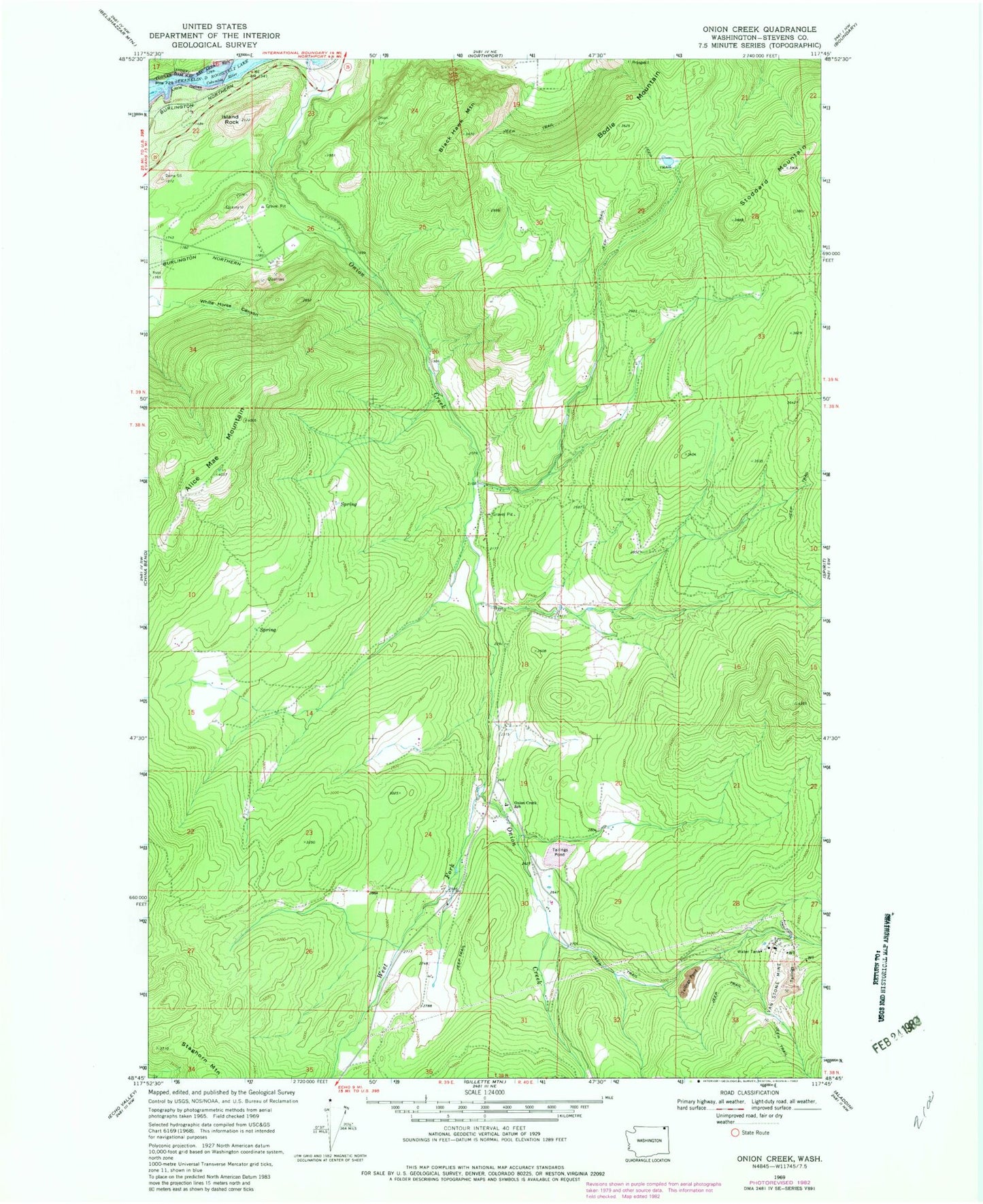
Classic USGS Onion Creek Washington 7.5'x7.5' Topo Map
Couldn't load pickup availability
Historical USGS topographic quad map of Onion Creek in the state of Washington. Typical map scale is 1:24,000, but may vary for certain years, if available. Print size: 24" x 27"
This quadrangle is in the following counties: Stevens.
The map contains contour lines, roads, rivers, towns, and lakes. Printed on high-quality waterproof paper with UV fade-resistant inks, and shipped rolled.
Contains the following named places: Alice Mae Mountain, Black Hawk Mountain, Bodie Mountain, Island Rock, Little Dalles, Onion Creek, Stoddard Mountain, Van Stone Mine, West Fork Onion Creek, White Horse Canyon, Kanes Siding, Dolomite, Limerock, Little Dalles, Little Dalles (historical), Onion Creek Elementary School, Onion Creek, Stevens County Fire District 11