MyTopo
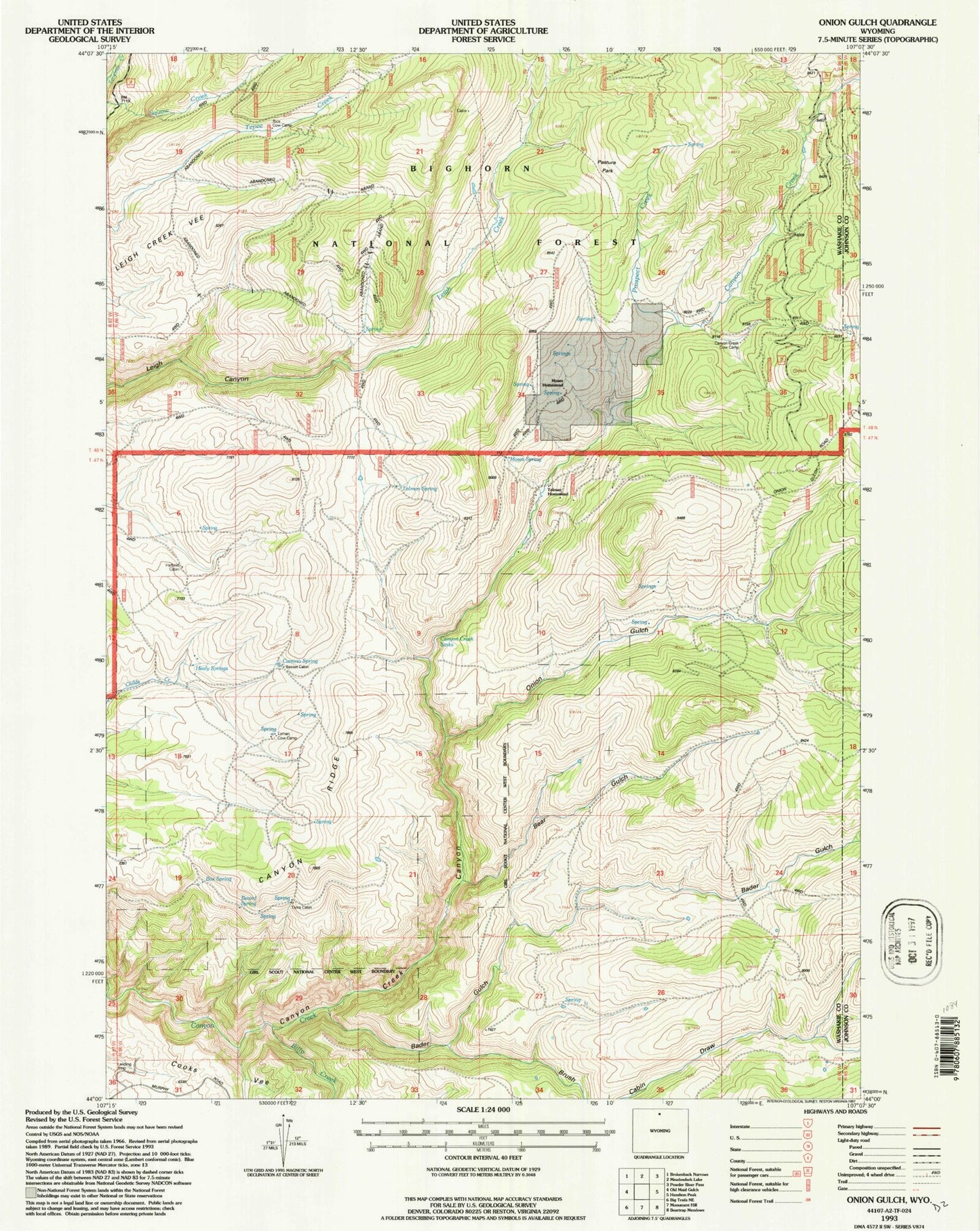
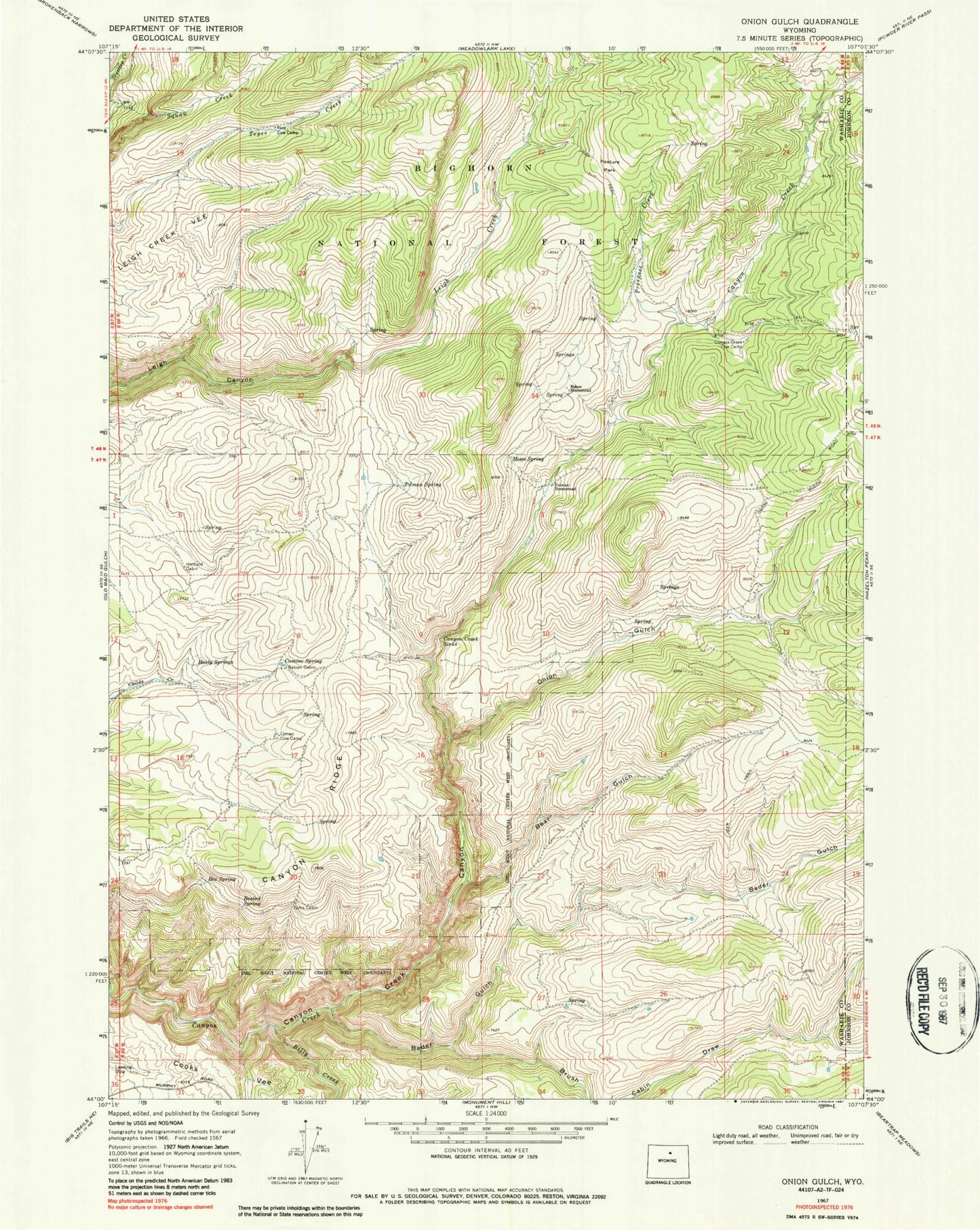
Classic USGS Onion Gulch Wyoming 7.5'x7.5' Topo Map
Couldn't load pickup availability
Historical USGS topographic quad map of Onion Gulch in the state of Wyoming. Typical map scale is 1:24,000, but may vary for certain years, if available. Print size: 24" x 27"
This quadrangle is in the following counties: Johnson, Washakie.
The map contains contour lines, roads, rivers, towns, and lakes. Printed on high-quality waterproof paper with UV fade-resistant inks, and shipped rolled.
Contains the following named places: Bader Gulch, Basset Cabin, Beaird Spring, Bear Gulch, Billy Creek, Box Spring, Brush Cabin Draw, Camino Spring, Canyon Creek Cow Camp, Canyon Creek Sinks, Canyon Ridge, Hatfield Cabin, Healy Springs, Lyman Cow Camp, Moses Homestead, Moses Spring, Onion Gulch, Pasture Park, Prospect Creek, Rice Cow Camp, Tolman Homestead, Tolman Spring, Toms Cabin, Canyon Creek Mine, Canyon Creek Claim Mine, Canyon Creek Talc Mine


