MyTopo
Classic USGS Onondaga Cave Missouri 7.5'x7.5' Topo Map
Couldn't load pickup availability
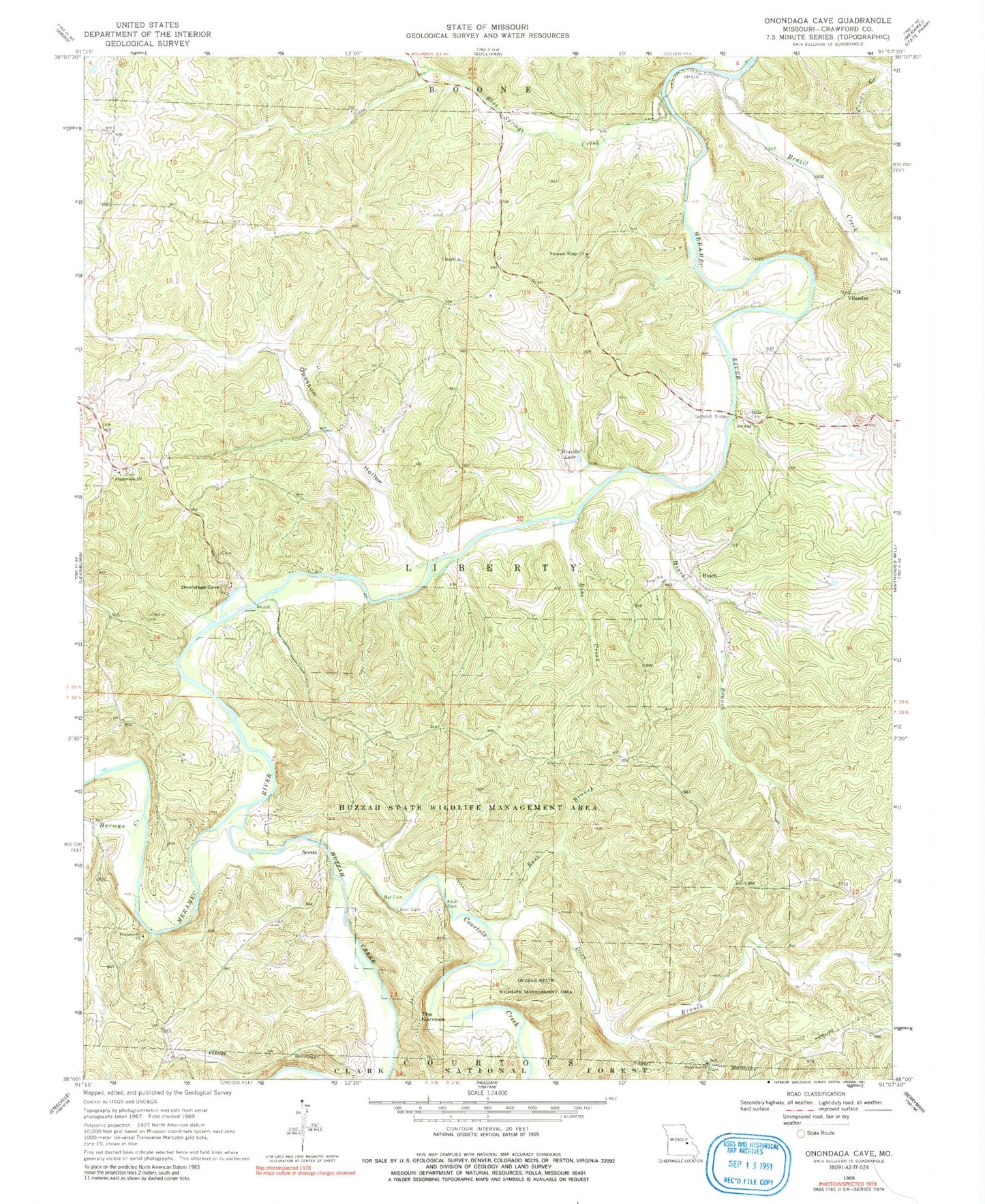
Historical USGS topographic quad map of Onondaga Cave in the state of Missouri. Typical map scale is 1:24,000, but may vary for certain years, if available. Print size: 24" x 27"
This quadrangle is in the following counties: Crawford.
The map contains contour lines, roads, rivers, towns, and lakes. Printed on high-quality waterproof paper with UV fade-resistant inks, and shipped rolled.
Contains the following named places: Scotia Number Two Iron Bank, Scotia Number One Iron Bank, Rutledge Lead Diggings, Rives Copper Mine, Ransom Lead Diggings, Lockhart Lead Mine, Lea Hill, Knox Number Two Iron Mine, Kelly Branch, Isgreeg Lead Mine, Hog Trough Bridge, Hobo Iron and Sulphur Mines, Hobo Branch, Hinchs Lead Diggings, Hinch School (historical), Hinch Copper Mine, Harrison Mills, Hardy Ford, Fair View Hill, Davis Ford, Rich Hill Lead Diggings, Bouse Creek, Bleeding Hill Iron Bank, Bleeding Hill Copper Mines, Bessen River, Harrison Ford, Crossroads, Iroquois Park, Bass Branch, Blue Springs Creek, Bobs Creek, Brandel Lake, Brazil Creek, Courtois Creek, Crossroads Church, Doss Branch, Fairview Church, Hardy Cemetery, Harman Creek, Harrison Cemetery, Hinch, Hinch Branch, Huzzah Creek, Huzzah Conservation Area, Opossum Hollow, Pentecostal Church, Pleasant Ridge Church, Scotia, The Narrows, Vilander, Forest Hill School, Von Hoffman Lake (historical), Valley School, Scotia School (historical), Cedar Grove School, Pleasant Hill School, Campbell Bridge, Opossum Hollow Dam, Fred Weber Lake, Baumstark Lake Dam, Baumstark Lake, Number 410 Dam, Township of Liberty, Onondaga Spring, Onondaga Cave State Park, Cathedral Spring


