MyTopo
Classic USGS Onycha Alabama 7.5'x7.5' Topo Map
Couldn't load pickup availability
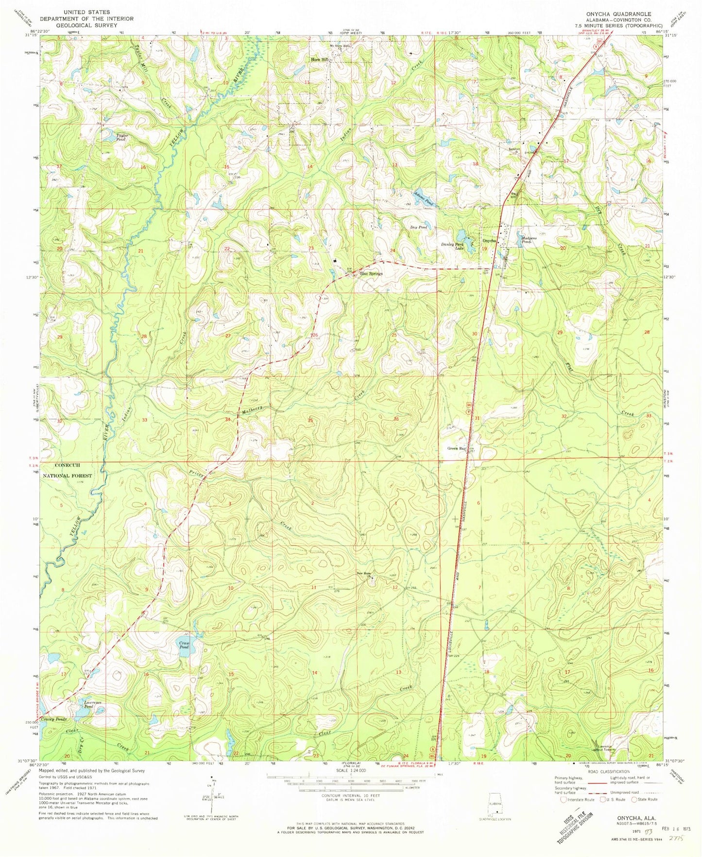
Historical USGS topographic quad map of Onycha in the state of Alabama. Map scale may vary for some years, but is generally around 1:24,000. Print size is approximately 24" x 27"
This quadrangle is in the following counties: Covington.
The map contains contour lines, roads, rivers, towns, and lakes. Printed on high-quality waterproof paper with UV fade-resistant inks, and shipped rolled.
Contains the following named places: Adams Pond, Belle School, Blue Springs, Blue Springs Baptist Church, Craw Pond, Danley Estates Lake Dam, Danley Park Lake, David Cravey Lake Dam, Day Pond, Dry Creek, Green Bay, Horn Hill, Hudgens Pond, Indian Creek, James Cravey Dam, Jerry Adams Dam, Johnny Cravey Dam, Lawrence Lookout Tower, Lawrence Pond, Lightwood Knot Creek, Magnolia Church, Mount Olive Bible Church, Mulberry Creek, New Hope Missionary Baptist Church, Onycha, Onycha Volunteer Fire Department, Prices Creek, Taylor Mill Creek, Taylor Pond, Town of Horn Hill, Town of Onycha, Welcome the Way Baptist Church, Yellow River


