MyTopo
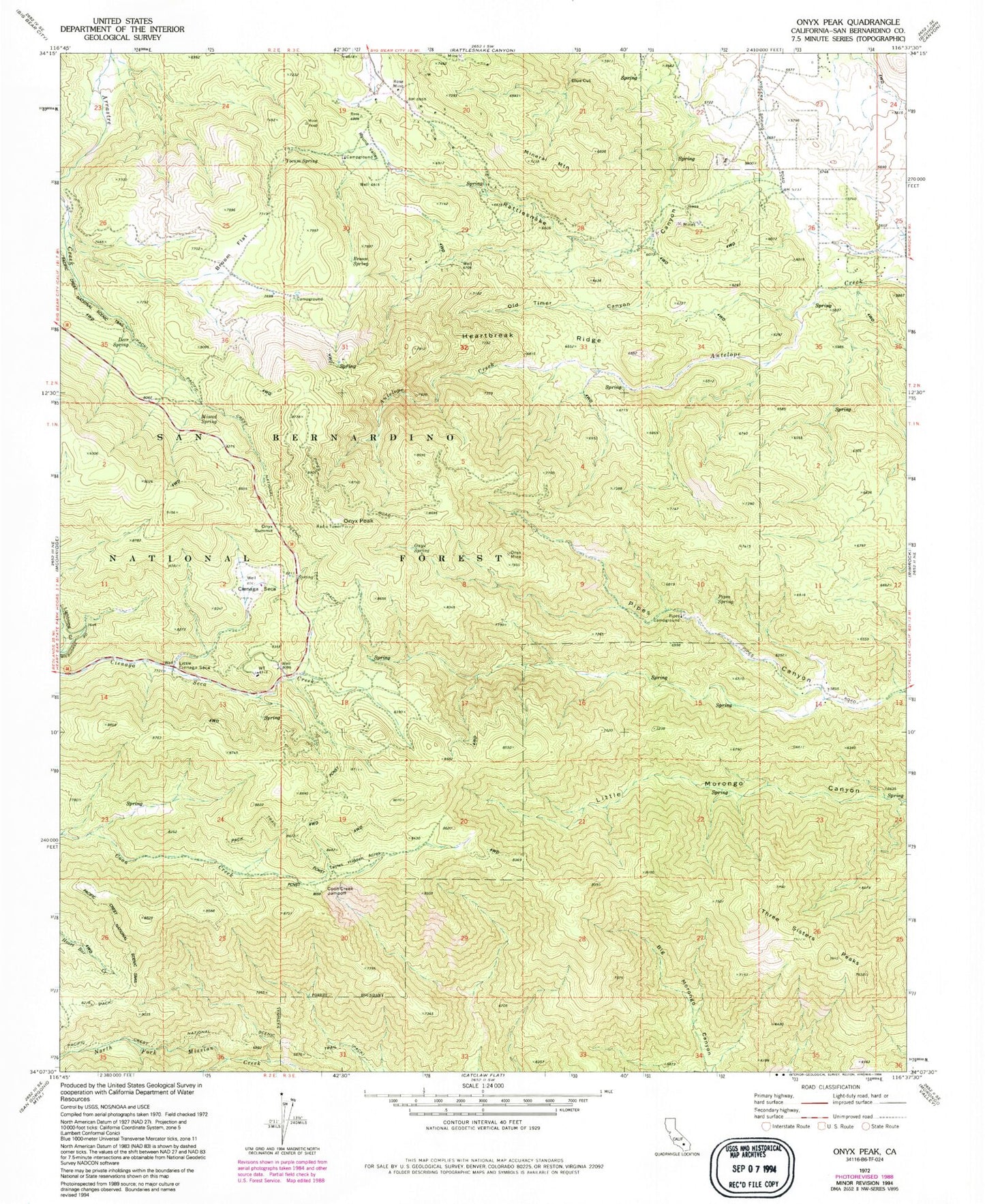
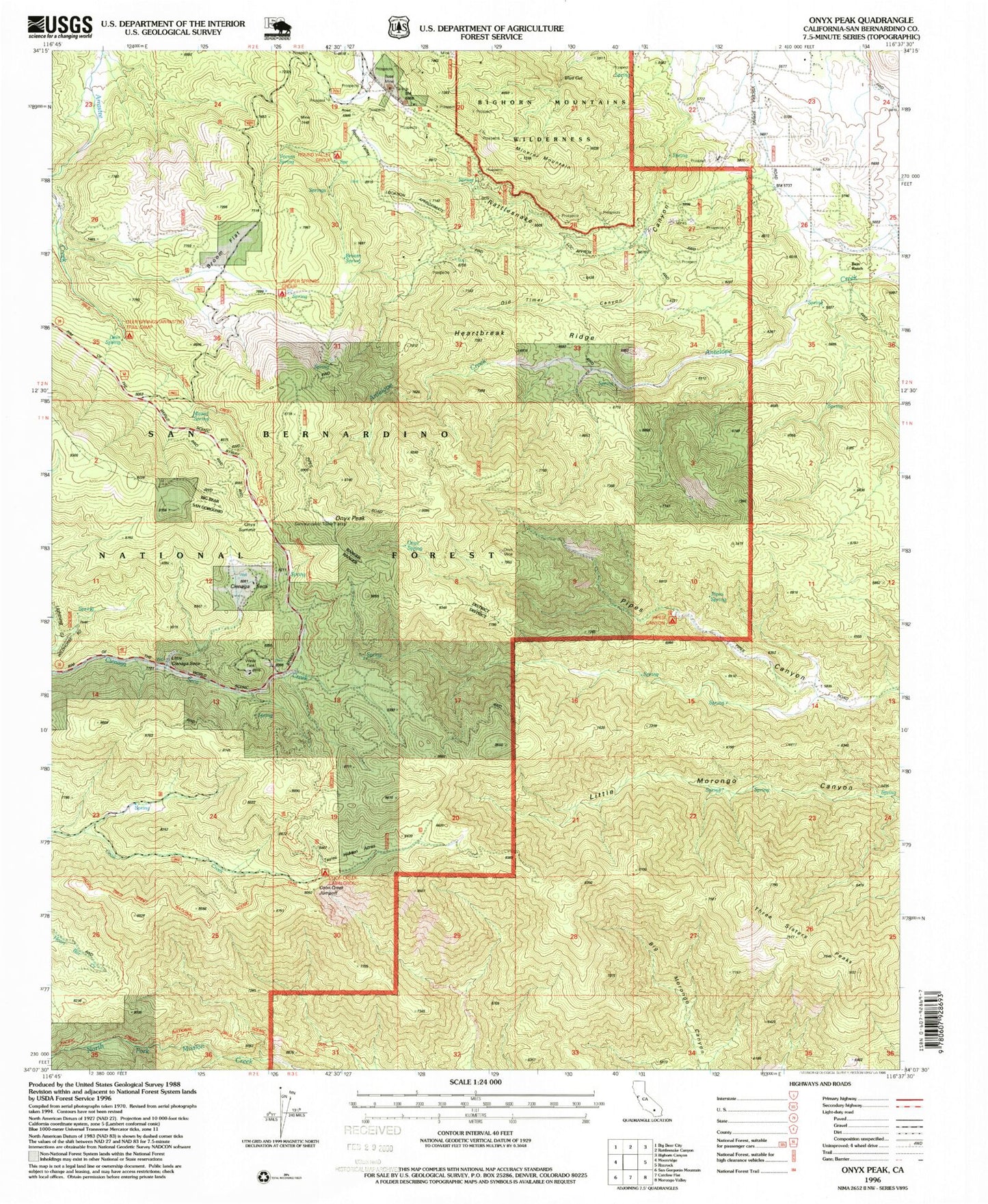
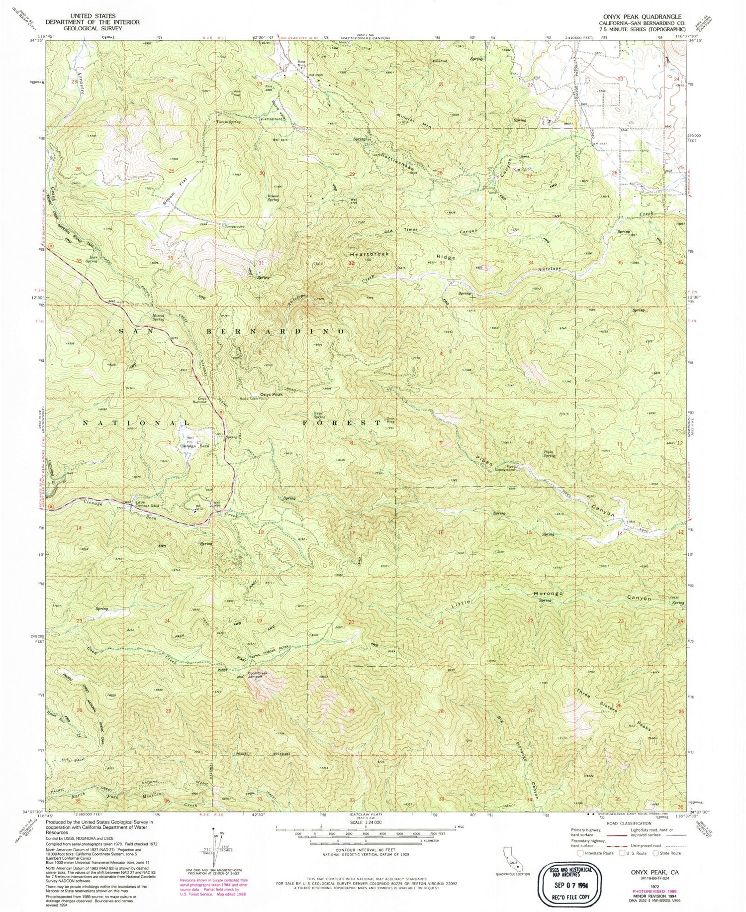
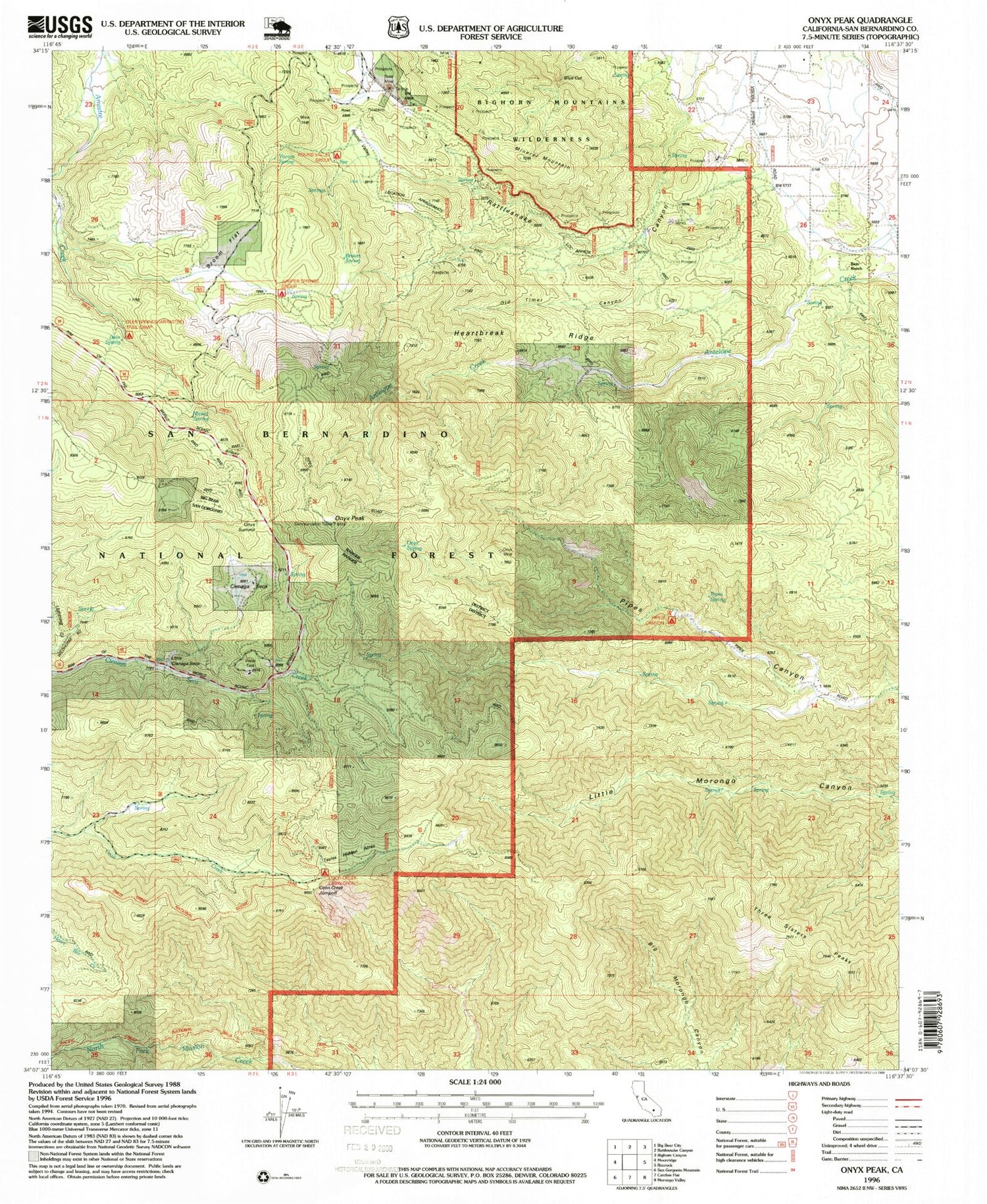
USGS Classic Onyx Peak California 7.5'x7.5' Topo Map
Couldn't load pickup availability
Historical USGS topographic quad map of Onyx Peak in the state of California. Scale: 1:24000. Print size: 24" x 27"
This quadrangle is in the following counties: San Bernardino.
The map contains contour lines, roads, rivers, towns, lakes, and grids including latitude / longitude and UTM / MGRS. Printed on high-quality waterproof paper with UV fade-resistant inks.
Contains the following named places: Bain Ranch, Blue Cut, Broom Flat, Broom Spring, Cienaga Seca, Coon Creek Jumpoff, Deer Spring, Heartbreak Ridge, Little Cienaga Seca, Mineral Mountain, Missed Spring, Old Timer Canyon, Onyx Mine, Onyx Spring, Onyx Summit, Pipes Campground, Pipes Spring, Rose Mine, Round Valley, Tayles Hidden Acres, Three Sisters Peaks, Yocum Spring, Monte Cristo Mine, Onyx Peak


