MyTopo
Classic USGS Ophir Mountain Oregon 7.5'x7.5' Topo Map
Couldn't load pickup availability
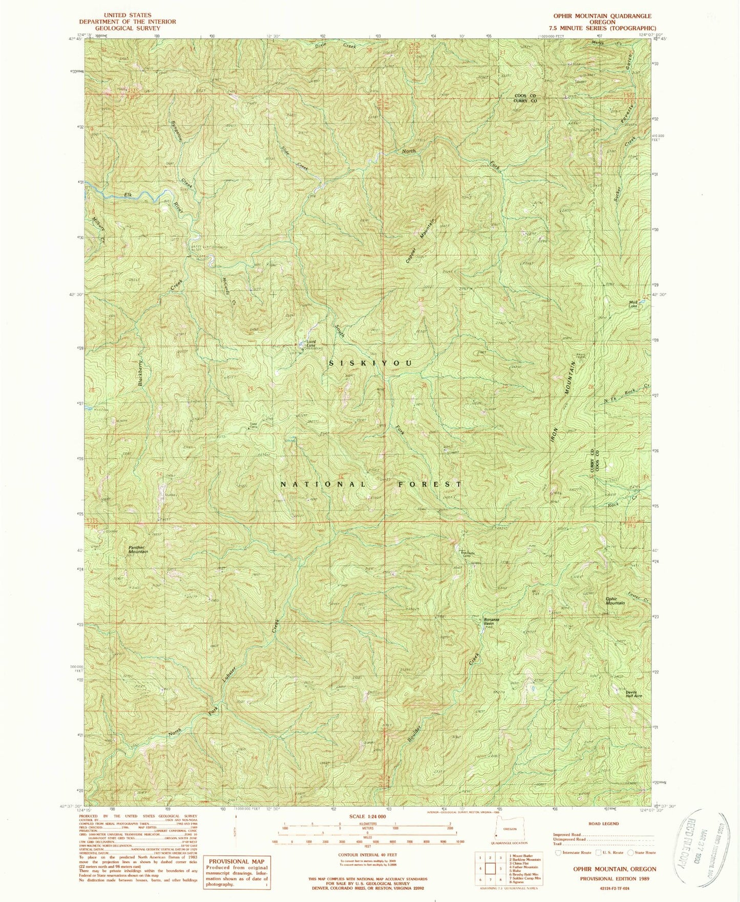
Historical USGS topographic quad map of Ophir Mountain in the state of Oregon. Map scale may vary for some years, but is generally around 1:24,000. Print size is approximately 24" x 27"
This quadrangle is in the following counties: Coos, Curry.
The map contains contour lines, roads, rivers, towns, and lakes. Printed on high-quality waterproof paper with UV fade-resistant inks, and shipped rolled.
Contains the following named places: Blackberry Creek, Bonanza Basin, Bungalow Creek, Camp Victoria, Copper Mountain, Copper Salmon Wilderness, Devils Half Acre, Iron Mountain, Laird Lake, Laird Lake Recreation Site, Marys Creek, McCurdy Campground, McCurdy Creek, Mud Lake, North Fork Elk River, Ophir Mountain, Panther Mountain, Slide Creek, South Fork Elk River, Toast Camp