MyTopo
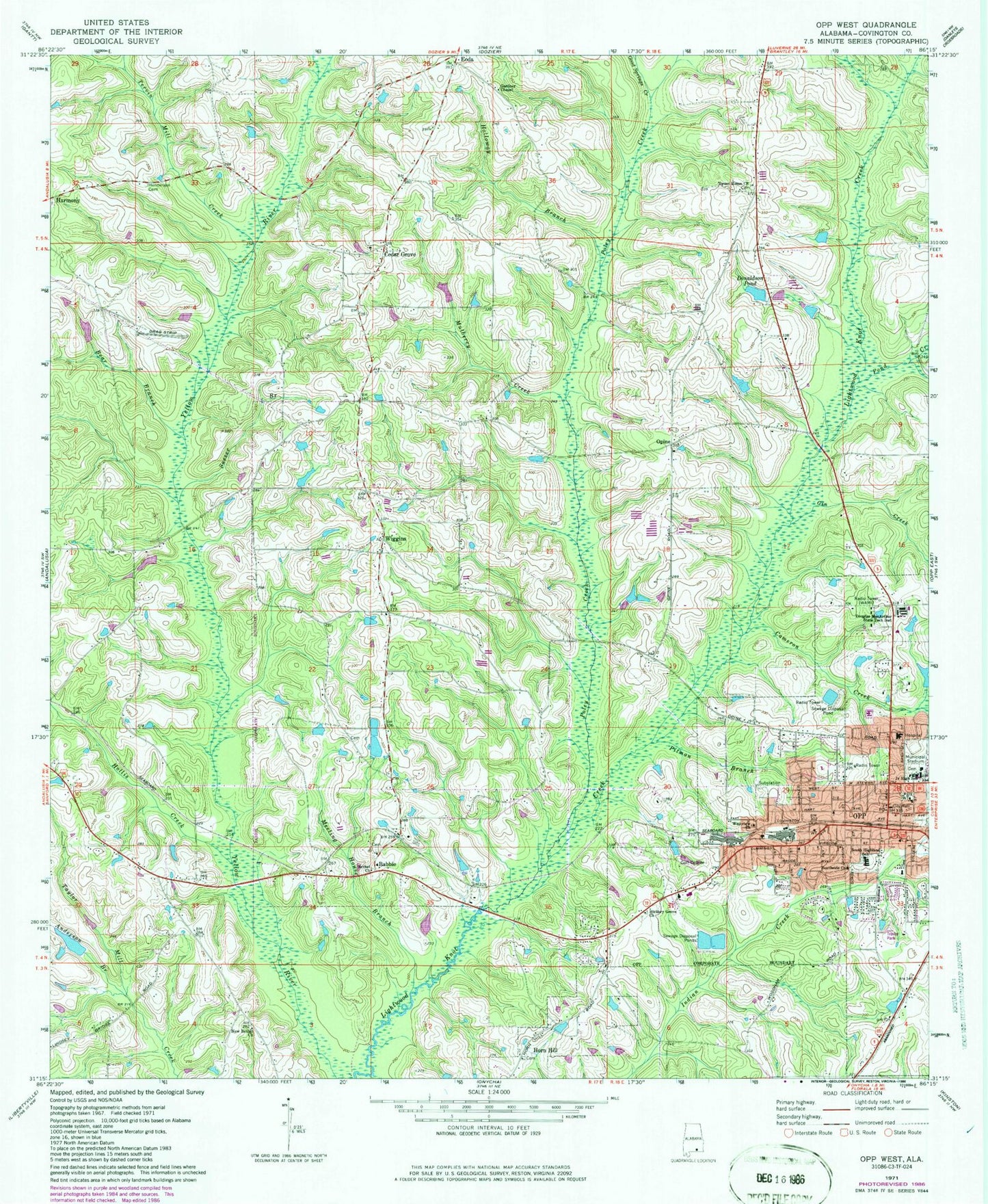
Classic USGS Opp West Alabama 7.5'x7.5' Topo Map
Couldn't load pickup availability
Historical USGS topographic quad map of Opp West in the state of Alabama. Map scale may vary for some years, but is generally around 1:24,000. Print size is approximately 24" x 27"
This quadrangle is in the following counties: Covington.
The map contains contour lines, roads, rivers, towns, and lakes. Printed on high-quality waterproof paper with UV fade-resistant inks, and shipped rolled.
Contains the following named places: Anderson Branch, Babbie, Babbie Baptist Church, Babbie School, Babbie Volunteer Fire Department, Bear Branch, Bethel Cemetery, Cameron Creek, Cedar Grove, Cedar Grove Cemetery, Cedar Grove Church, Channell-Lee Stadium, Christian Church, City of Opp, City of Opp Westside Wastewater Treatment Plant, Delta Plaza Shopping Center, Donaldson Pond, Douglas MacArthur State Technical Institute, Eoda, Fairview West Shopping Center, First Assembly of God Church, First Baptist Church, First Methodist Church, First United Pentecostal Church, Gardner Chapel, Gin Creek, Good Springs Creek, Gridertown Church, Harmony, Henderson Cemetery, Hickory Grove Church, Holiness Church, Hollis Creek, Holloway Branch, Lakewood Mobile Home Park, Meeting House Branch, Mizell Memorial Hospital, Mulberry Creek, Nazareth Baptist Church, New Bethel Church, Opine, O'Pine Church, O'Pine School, Opp, Opp City Hall, Opp Country Club, Opp Division, Opp Fire Department, Opp Health Nursing Home, Opp Middle School, Opp Police Department, Opp Public Library, Opportunity Emergency Medical Services, Pilgrim's Bible and Family Church, Pitman Branch, Poley, Poley Creek, Pond Creek, Sasser Branch, South Highlands Elementary School, Southside Baptist Church, Stephen African Methodist Episcopal Church, Sweet Home Baptist Church, Sweet Home Cemetery, Tervin Mill Creek, The Woodmoore, Town of Babbie, W F Jackson Lake, W F Jackson State Park, W55A-TV (Andalusia), Wallaces Mill, WAMI-AM (Opp), WAMI-FM (Opp), Westview Assembly of God Church, Wiggins, Wiggins School, ZIP Code: 36467


