MyTopo
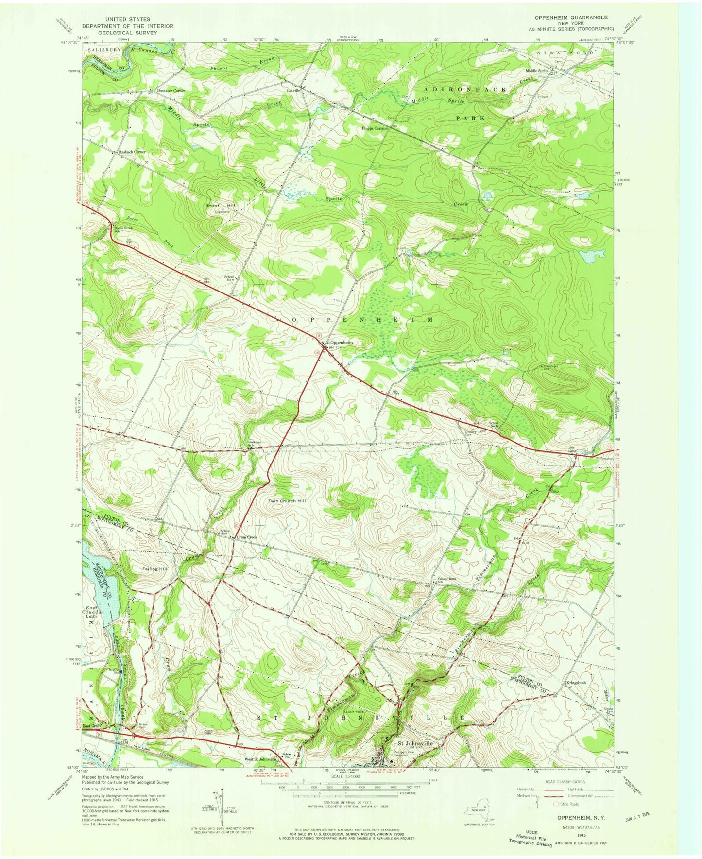
Classic USGS Oppenheim New York 7.5'x7.5' Topo Map
Couldn't load pickup availability
Historical USGS topographic quad map of Oppenheim in the state of New York. Map scale may vary for some years, but is generally around 1:24,000. Print size is approximately 24" x 27"
This quadrangle is in the following counties: Fulton, Herkimer, Montgomery.
The map contains contour lines, roads, rivers, towns, and lakes. Printed on high-quality waterproof paper with UV fade-resistant inks, and shipped rolled.
Contains the following named places: Bacon Brook School, Beekman School, Brown Cemetery, Chatsey Cemetery, Clemmons Cemetery, Clouse Cemetery, Crum Creek, Crystal Grove Diamond Mine Campground, Damin Farm, Dolgeville Airport, Doxtater Corner, Dutch Reformed Church Cemetery, East Canada Creek Bridge, East Canada Lake, East Creek, Failing Hill, Grace Christian Church, Green Cemetery, Klock Cemetery, Klock Park, Kringsbush, Little Sprite Creek, Lotville, Middle Sprite, Middle Sprite Cemetery, One Cow Farm, Oppenheim, Oppenheim - Ephratah Central School, Oppenheim Volunteer Fire Company 1, Phipps Corners, Prospect View Cemetery, Rain Dance Pond, Rasbach Corner, Saint Bridgetts Cemetery, Saint Johnsville Junior - Senior High School, Saint Johnsville Quarry, School Number 12, School Number 6, School Number 7, School Number 9, Sweet Hill, Town of Oppenheim, Town of Saint Johnsville, Twin Church Hill, Village of Saint Johnsville, Youker Buch School, ZIP Codes: 13329, 13452


