MyTopo
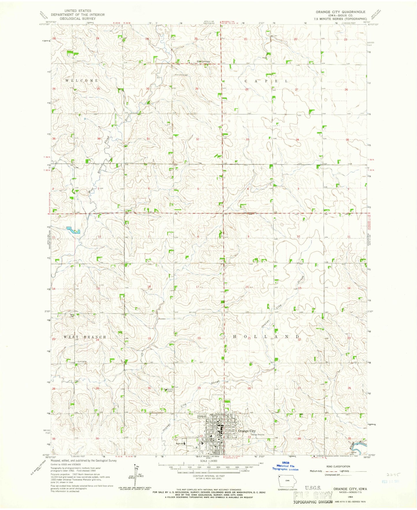
Classic USGS Orange City Iowa 7.5'x7.5' Topo Map
Couldn't load pickup availability
Historical USGS topographic quad map of Orange City in the state of Iowa. Map scale may vary for some years, but is generally around 1:24,000. Print size is approximately 24" x 27"
This quadrangle is in the following counties: Sioux.
The map contains contour lines, roads, rivers, towns, and lakes. Printed on high-quality waterproof paper with UV fade-resistant inks, and shipped rolled.
Contains the following named places: A R Farms, American Reformed Church, Calvary Christian Reformed Church, Chiropractic Associates of Siouxland Building, City of Orange City, Dover Avenue Alliance Church, East Park, Family Eye Care Associates Center, First Christian Reformed Church, First Reformed Church, Gesink Farm, Heartland Farms, Heritage House Nursing Home, Hettinga Dairy, Huisman Farms, Immanuel Christian Reformed Church, Jaycee Park, Kooiker Dairy, Landsmeer Golf Club, Middleburg, Middleburg Cemetery, Middleburg Free Grace Reformed Church, Middleburg Post Office, Midlands Clinic Hearing Services, New Hope Evangelical Free Church, Northwest Surgery Building, Noteboom Farms, Orange City, Orange City Century Home, Orange City Chiropractic Center, Orange City Christian School, Orange City Dentistry Building, Orange City Elementary School, Orange City Fire Department, Orange City Home Health and Hospice, Orange City Medical Clinic, Orange City Police Department, Orange City Post Office, Orange City Public Library, Rainbow Farms, Rolling View Farms, Sandy Hollow Golf Course, Sandy Hollow Recreation Area, Schelling Dairy, Sioux County Courthouse, Sioux County Home, Sioux County Sheriff's Office, Terry Town Farms, Township of Holland, Trinity Reformed Church, Unity Christian High School, Van Peursem Farm, Veterans Memorial Park, Vogel Windmill, Walnut Grove Dairy, West Lawn Cemetery, Windmill Square, ZIP Code: 51041


