MyTopo
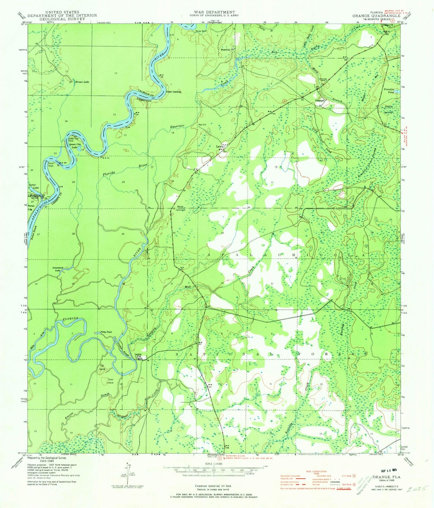
Classic USGS Orange Florida 7.5'x7.5' Topo Map
Couldn't load pickup availability
Historical USGS topographic quad map of Orange in the state of Florida. Map scale may vary for some years, but is generally around 1:24,000. Print size is approximately 24" x 27"
This quadrangle is in the following counties: Calhoun, Gulf, Liberty.
The map contains contour lines, roads, rivers, towns, and lakes. Printed on high-quality waterproof paper with UV fade-resistant inks, and shipped rolled.
Contains the following named places: Acorn Lake, Beazly Hammock, Big Gully Creek, Big Gully Landing, Big Gully Landing Campground, Bills Arm, Brown Lake, Coon Island, Devils Swamp, Dicks Point, Elsie Lake, Equaloxic Creek, Eureka Church, Everett Slough, Finns Slough, Franklin Juniper Swamp, Greenback Lake, Gregory Mill Creek, Gunn Landing, Humility Cemetery, Humility Church, Larkin Fish Camp, Larkin Slough, Lewis, Long Pond, Mary Branch, New Crossing Branch, Orange, Orange Cemetery, Orange Church, Patsy Branch, Pig Island, Porter Lake, Porter Landing, Porter Reach, Queen City Lake, Queen City Point, Red Hill, Ricko Bluff, Wilder Bay


