MyTopo
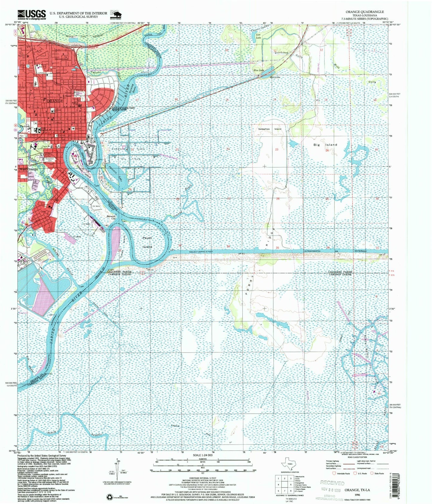
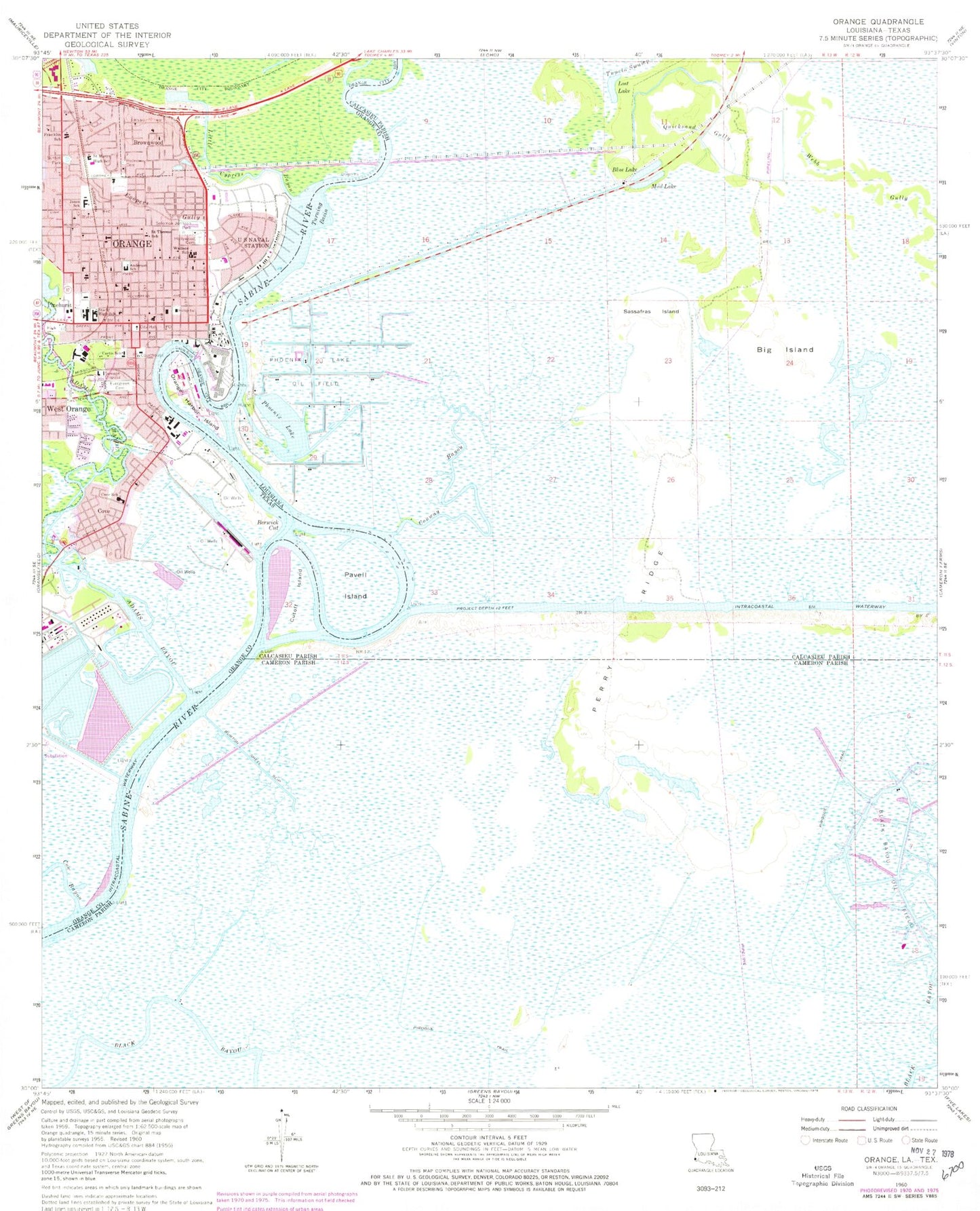
Classic USGS Orange Texas 7.5'x7.5' Topo Map
Couldn't load pickup availability
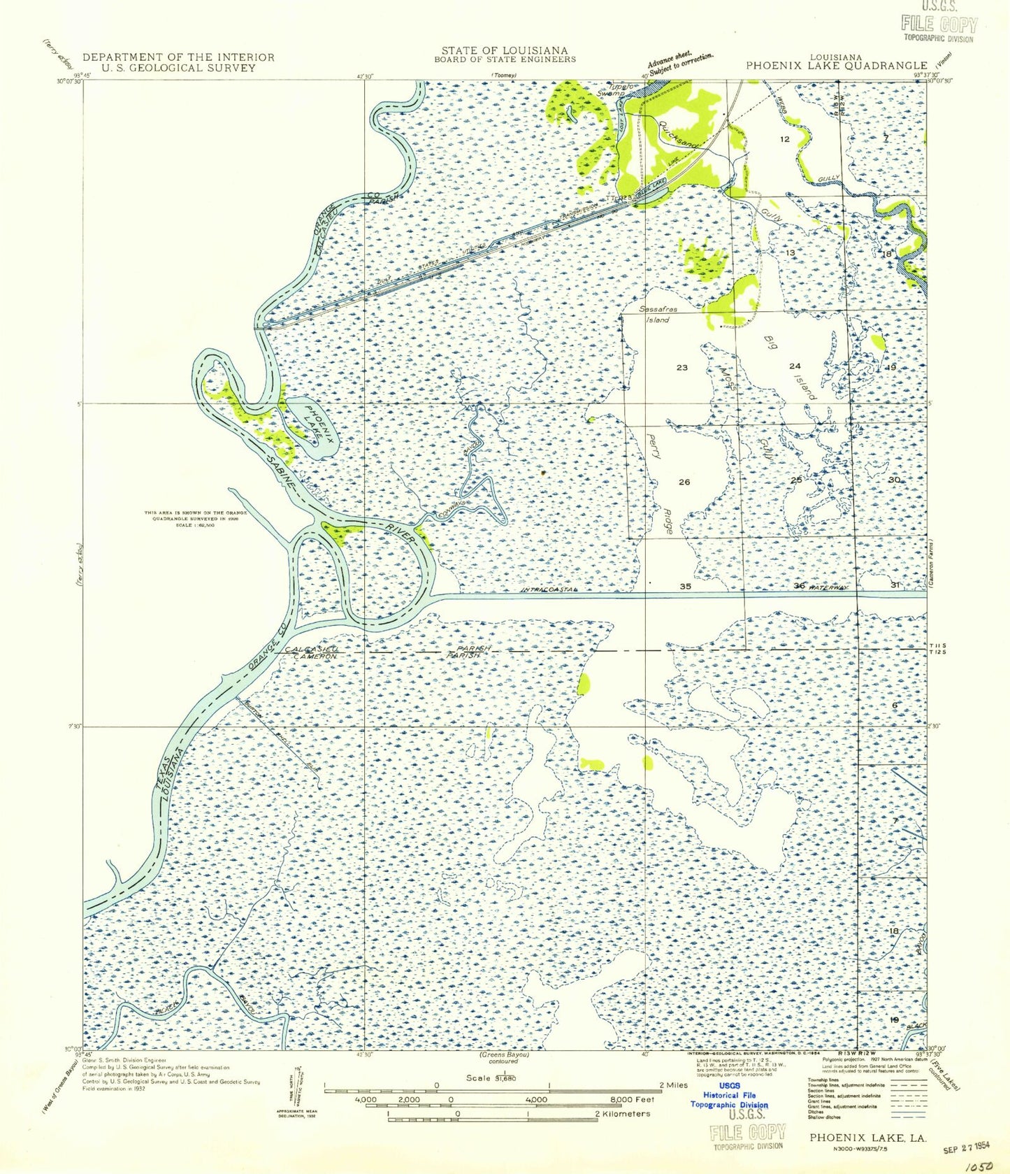
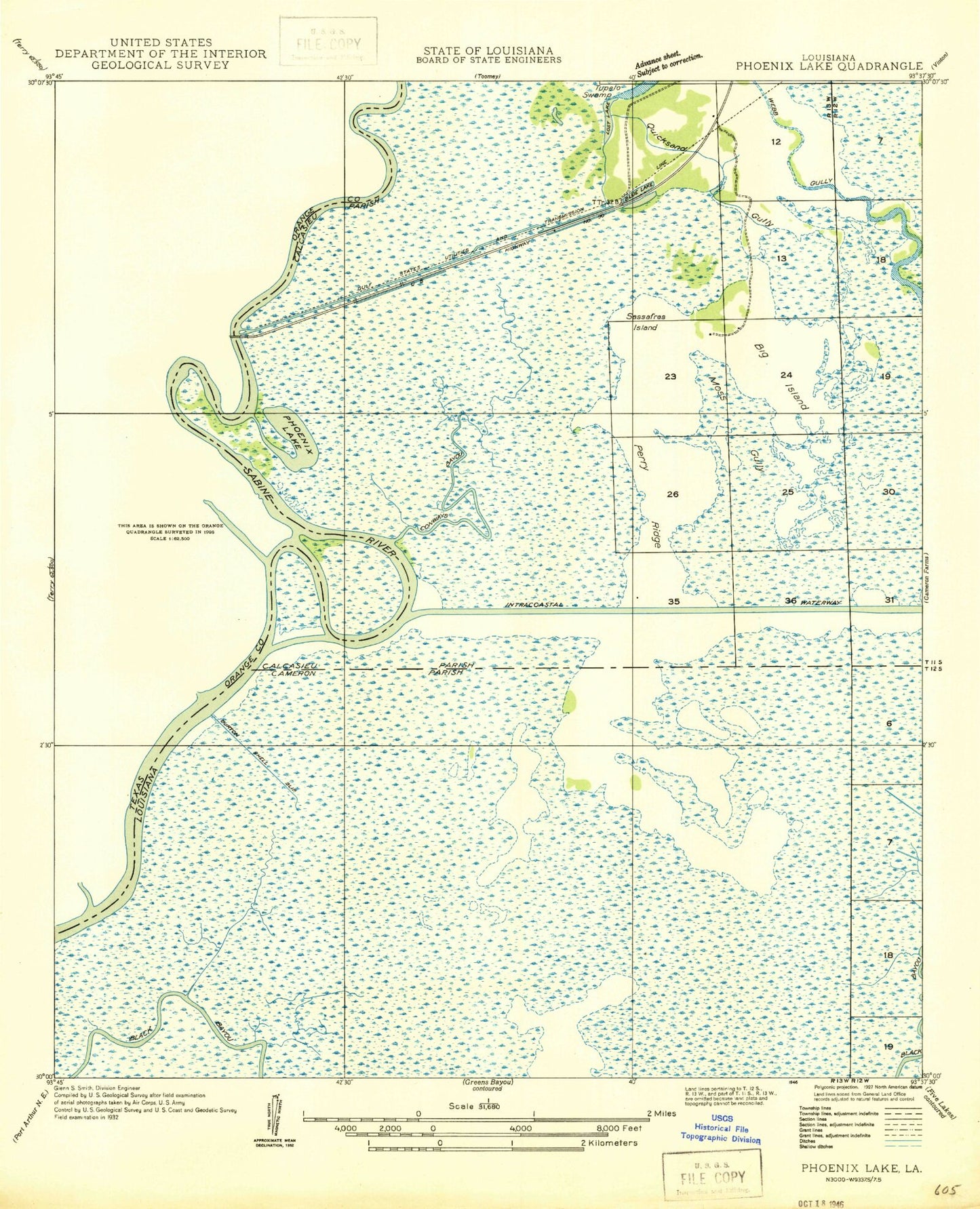
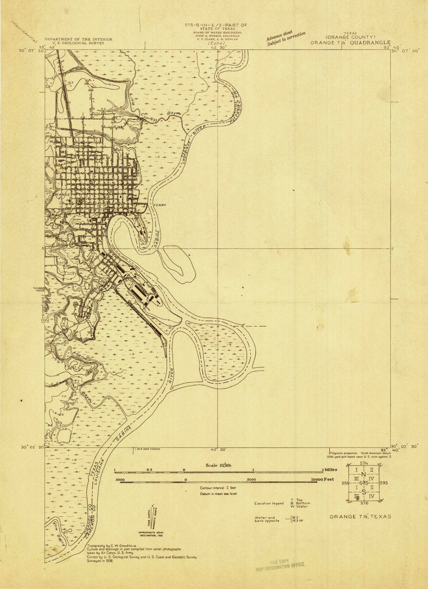
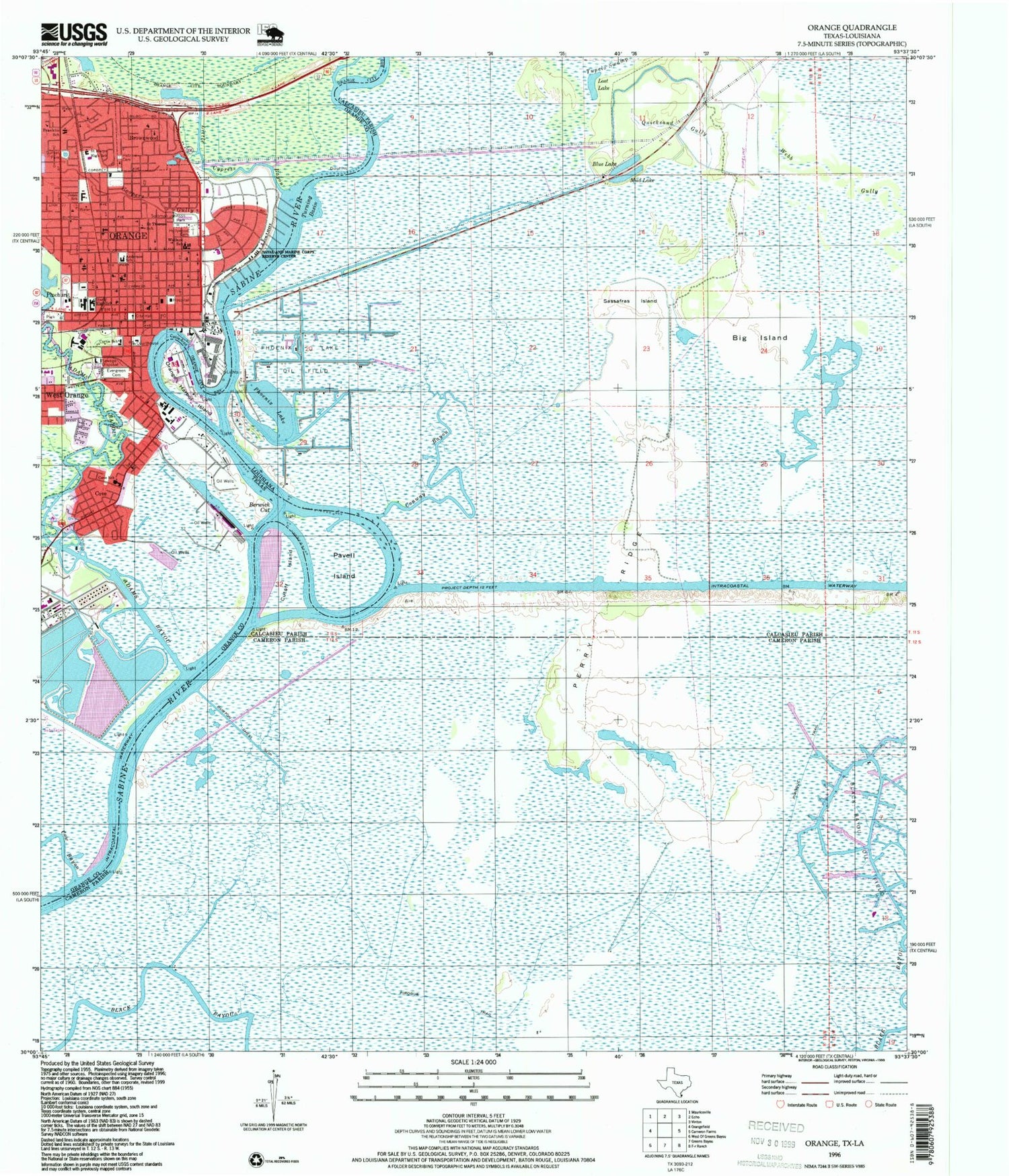
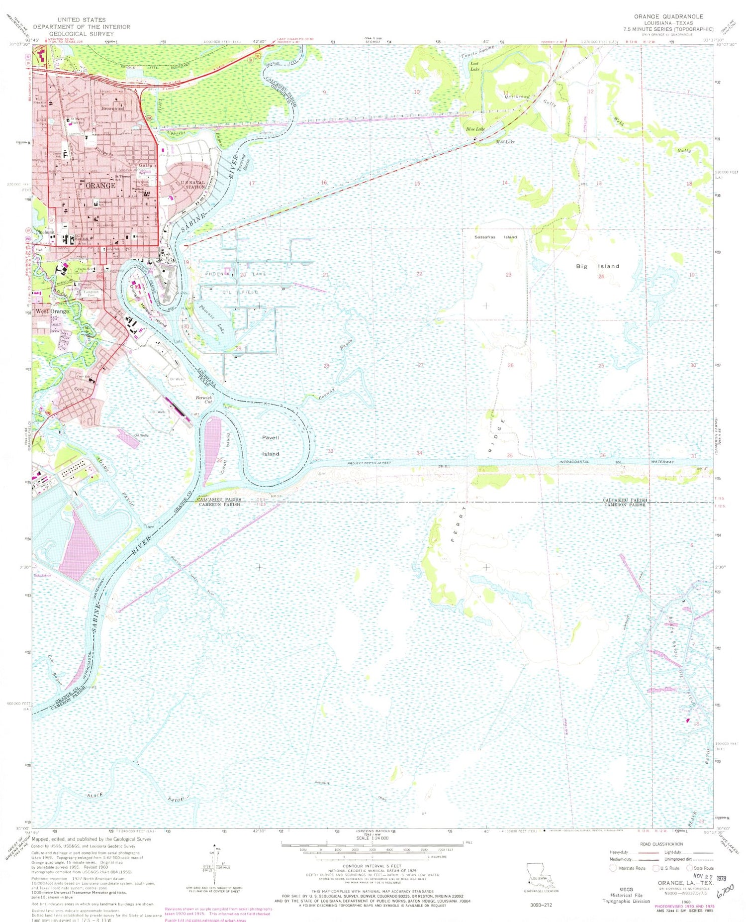
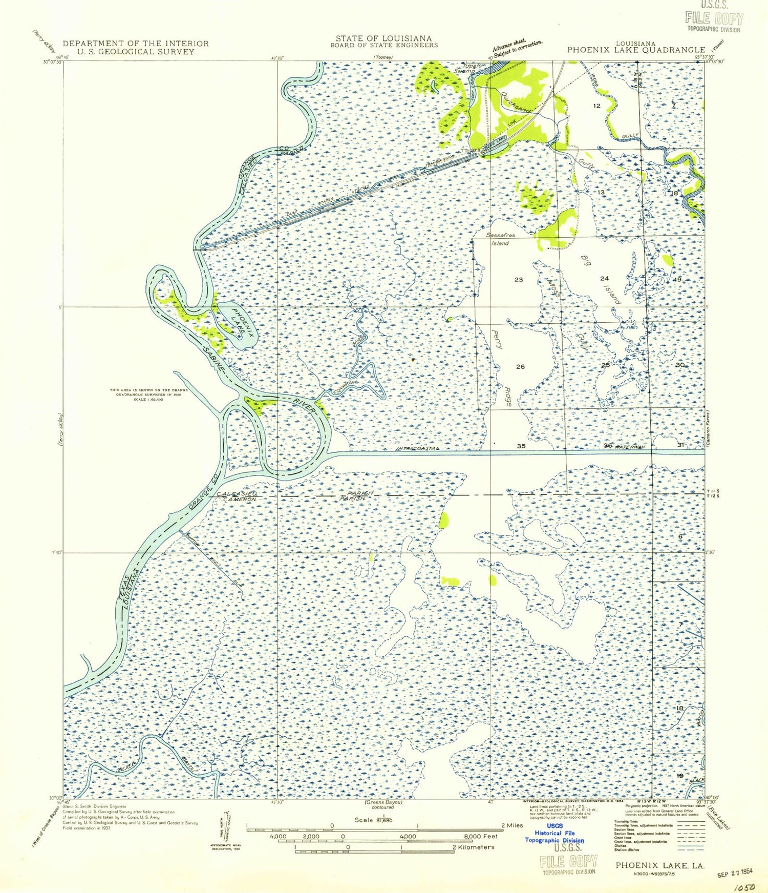
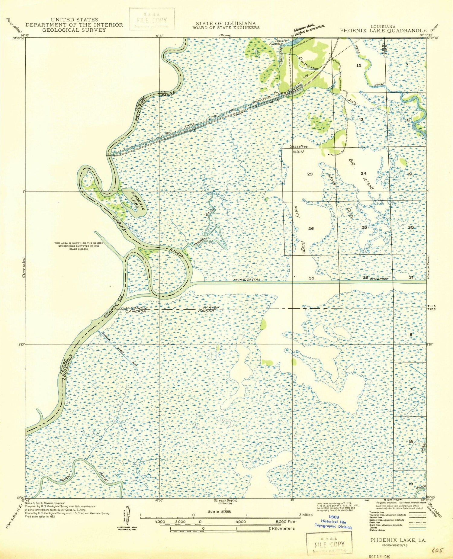
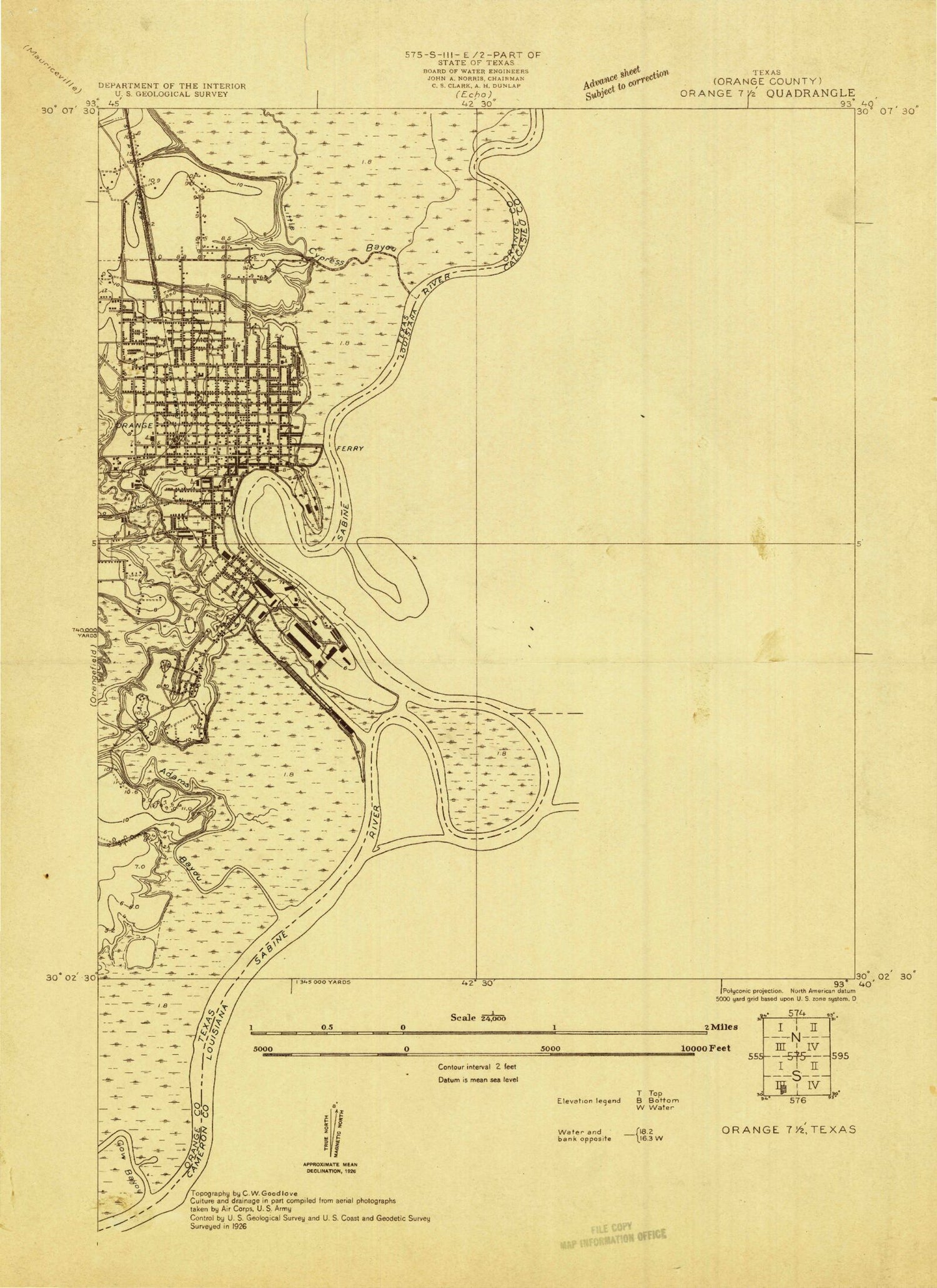
Historical USGS topographic quad map of Orange in the states of Texas, Louisiana. Map scale may vary for some years, but is generally around 1:24,000. Print size is approximately 24" x 27"
This quadrangle is in the following counties: Calcasieu, Cameron, Orange.
The map contains contour lines, roads, rivers, towns, and lakes. Printed on high-quality waterproof paper with UV fade-resistant inks, and shipped rolled.
Contains the following named places: Adams Bayou, Anderson Elementary School, Anderson School, Berwick Cut, Bethel Baptist Church, Bethlehem Church of the Nazarene, Big Island, Blue Lake, Brownwood, Brownwood Baptist Church, Burton Shell Slip, Church of Christ, Conway Bayou, Coopers Gulley, Cove, Cove Baptist Church, Cove School, Cow Bayou, Curtis School, Cutoff Island, Dupont Plant Reservoir Levee, Evergreen Cemetery, First Church of God, Franklin School, Hebrew Cemetery, Heritage House of Orange County, Hollywood Cemetery, Jones School, Joseph and Annie Lucas House, Little Cypress Bayou, Lost Lake, Lower Neches Wildlife Management Area - Adams Bayou, Lutcher Memorial Church Building, M B North E C Learning Center, Mount Calvary Baptist Church, Mount Sinai Baptist Church, Mud Lake, Navy Park, Orange, Orange City Hall, Orange County Constable's Office Precinct 1, Orange County Courthouse, Orange County Courts - Criminal Clerk, Orange County Jail, Orange County Sheriff's Office, Orange Fire Department Station 1, Orange Harbor Island, Orange Police Department, Orange Police Department - Citizen Service, Orange Post Office, Pavell Island, Perry Ridge, Phoenix Lake, Phoenix Lake Gas Field, Phoenix Lake Oil Field, Pinhurst City Park, Quicksand Gully, Rehoboth Holiness Church, Sabine Yacht Basin Marina, Saint James Baptist Church, Saint Marys Catholic Church, Saint Marys High School, Saint Pauls Baptist Church, Saint Pauls Episcopal Church, Saint Theresa School, Sassafras Island, Sims House, Sixth Saint Community Church, Solid Rock Missionary Baptist Church, Solomon Johnson Park, Stark High School, Stark Museum of Art, Starlight Baptist Church, Sunset Park, W H Stark House, Wallace School, West Orange - Cove Education Center, West Orange - Stark Middle School, Woodmen of the World Lodge-Phoenix Camp Number 32
