MyTopo
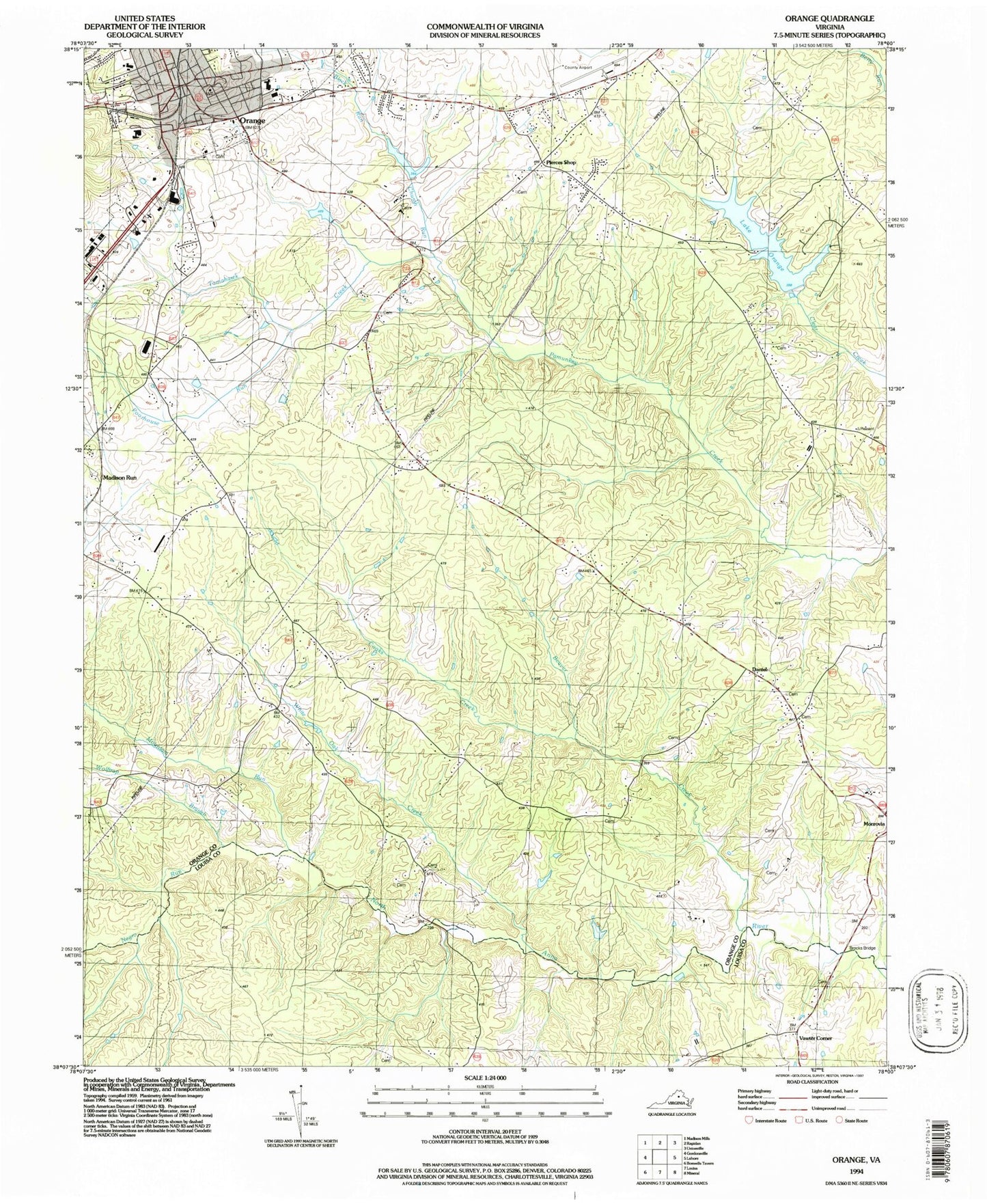
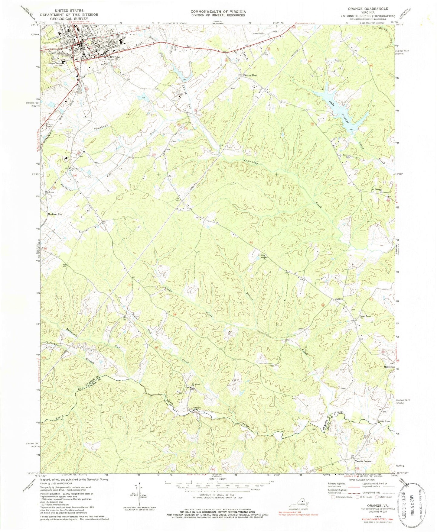
Classic USGS Orange Virginia 7.5'x7.5' Topo Map
Couldn't load pickup availability
Historical USGS topographic quad map of Orange in the state of Virginia. Map scale may vary for some years, but is generally around 1:24,000. Print size is approximately 24" x 27"
This quadrangle is in the following counties: Louisa, Orange.
The map contains contour lines, roads, rivers, towns, and lakes. Printed on high-quality waterproof paper with UV fade-resistant inks, and shipped rolled.
Contains the following named places: Beaver Creek, Black Run, Brocks Bridge, Calvary Church, Church Run, Clear Creek Dam, Cooks Creek, Daniel, District 2, J E Taylor Dam, J E Taylor Lake, Lake Orange, Lewis Cemetery, Little Zion Church, Mallory Ford, Mount Horeb Cemetery, Mount Horeb Church, Mount Pleasant Church, Mountain Run, Negro Run, Orange, Orange County, Orange County Airport, Orange County Courthouse, Orange County Emergency Services, Orange County High School, Orange County Rescue Squad, Orange County Rescue Squad Station 23, Orange County Sheriff's Office, Orange Elementary School, Orange Police Department, Orange Post Office, Orange Seventh Day Adventist Church, Orange Volunteer Fire Company, Pierces Shop, Poorhouse Run, Prospect Heights Middle School, Saint Thomas Episcopal Church, Shady Grove Cemetery, Shady Grove Church, Taylors Dam, Taylors Pond, Tomahawk Creek, Town of Orange, Vawter Corner, Watkins Cemetery, White Oak Creek, Willis Cemetery, Wolftrap Branch, ZIP Code: 22960


