MyTopo
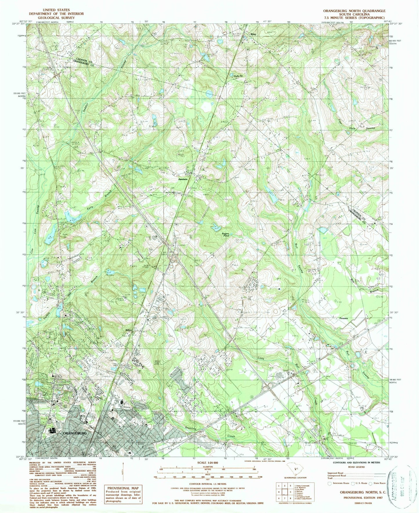
Classic USGS Orangeburg North South Carolina 7.5'x7.5' Topo Map
Couldn't load pickup availability
Historical USGS topographic quad map of Orangeburg North in the state of South Carolina. Map scale may vary for some years, but is generally around 1:24,000. Print size is approximately 24" x 27"
This quadrangle is in the following counties: Calhoun, Orangeburg.
The map contains contour lines, roads, rivers, towns, and lakes. Printed on high-quality waterproof paper with UV fade-resistant inks, and shipped rolled.
Contains the following named places: Belleville Memorial Cemetery, Belleville Middle School, Berry Woods, Bonneville, Bowman Woods, Brookdale, Brookdale Census Designated Place, Brookdale Middle School, Bull Swamp Baptist Church, Bull Swamp Cemetery, Bull Swamp School, Calhoun-Orangeburg Vocational Center, Camburg Acres, Carolina Regional Business Park, Chestnut Shopping Center, Claflin University Dunwalton House, Claflin University Jonas T Kennedy Health and Physical Education Center, Claflin University Science Center Annex, Colonial Heights, Columbia Road Church of God, Conover Hill, Creekmoor, Crestview Cemetery, Dalby Downs, Davis School, Dunton Memorial School, Early Branch, East Orange School, Ebenezer Church, Ebenezer School, Emancipation Church, Fersners, Forest Acres, Glenwood Acres, Green Pond, Green Pond Dam D-2681, Greenbriar, Gressettes Pond Dam D-3721, Grove Park Village Shopping Center, Gues Pond Dam D-3722, Heatherwood, Highland, Hillcrest Golf Course, Hillcrest Recreational Park, Hilldale, Holly Pond, Horger Pond, Hubbard Cemetery, Hunter Hill, Hyde Park, Jamison, Jamison Volunteer Fire Department, Lawton Acres, Marshall Elementary School, Marshall Heights, Memorial Church of the Nazarene, Moss Hills, Mount Carmel Baptist Church, Mount Carmel Baptist Church Cemetery, Mount Carmel Church, Mount Carmel School, Mount Zion School, Nazareth Church, Nazareth School, New Brookland, Nix Elementary School, North Brookdale, Northside Baptist Church, Ocains Pond, Olive Grove Church, Olive Grove School, Orangeburg - Calhoun Technical College Gressette Learning Resource Center, Orangeburg County Emergency Medical Services, Orangeburg Fire Department Station 2, Orangeburg Mall Shopping Center, Orangeburg Seventh Day Adventist Church, Orangeburg-Calhoun Law Enforcement Center, Orangeburg-Calhoun Technical College, Orangeburg-Wilkinson School, Palmetto Garden, Parlerdale, Pecan Grove Seventh Day Adventist Church, Pecanway Terrace, Pilgrim Glorious Church of God, Prince of Orange Mall Shopping Center, Prospect Cemetery, Prospect Church, Regional Medical Center, Regional Medical Center of Orangeburg and Calhoun County Heliport, Riley, Rogers Pond, Rosewood, Saddler Swamp, Saint Andrews Methodist Church, Saint John Church, Saint John School, Saint Johns Church, Saint Luke Presbyterian Church, Sharperson Junior High School, Shecuts Pond, Sims Pond, South Carolina Noname 38061 D-3715 Dam, South Carolina Noname 38062 D-3716 Dam, South Carolina Noname 38063 D-3720 Dam, South Carolina Noname 38080 D-3723 Dam, South Carolina State University Fine Arts Center, South Carolina State University Mason Hall, Spring Valley, Stilton, Temple Sinai, Tri-County Hospital, Trinity Church, Turkey Hill, Union Chapel, Wannamaker Pond Number I Dam D-3719, Wilkinson Heights, William J McCord Adolescent Treatment Facility, Windy Hills, Woodberry, WQKI-AM (Saint Matthews), Wren Village, Zeiglers Pond, Zion Church


